

Ordnance Survey Map of The Cotswolds
Ordnance Survey Map of The Cotswolds, Maps, NA, Printed, NA, 953x1270mm
£16.99
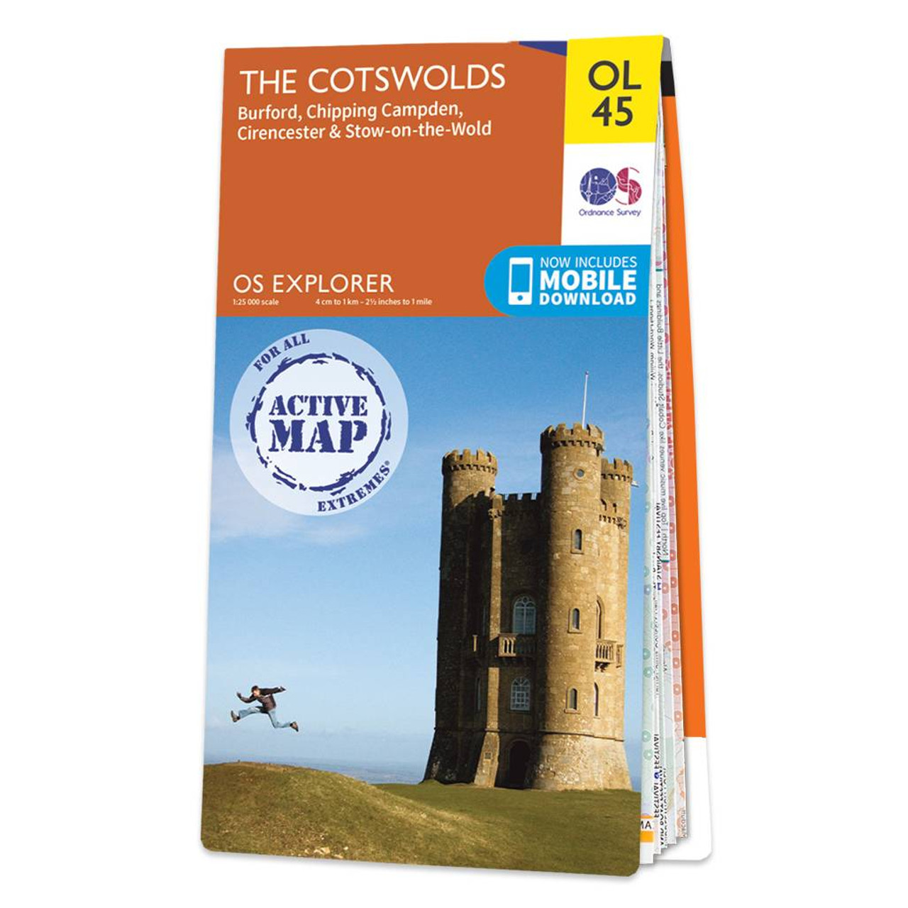
The OS Explorer map of the Cotswolds, includes Burford, Chipping Campden, Cirencester, and Stow-on-the-wold. This map is the perfect companion when visiting the Cotswolds AONB. Explore the rolling hills and green meadows, adventure into the Wychwood Community Forest — a Site of Special Scientific Interest, or take a calming and idyllic stroll along the Cotswold Way.Our OS Explorer maps are perfect for day-tripping, extensive hikes, and cycling. They come in both standard and Weatherproof Active, so you'll never get caught out in a storm. This map also comes with a free digital download, so you can access it across your devices — making for a more convenient companion. Format: Folded map Physical Size: 953 x 1270 mm (134 x 227 mm folded) Standard Publication Date: 10/02/2023 Weatherproof Publication Date: 10/06/2015
More information
Ordnance Survey (OS) maps are detailed and highly accurate maps produced by the national mapping agency of Great Britain.
OS maps are widely used for outdoor activities such as hiking, cycling, and land navigation, as well as for urban planning and development. The maps have been a trusted resource for over two centuries, evolving with technology to include digital formats and GPS compatibility.
The Ordnance Survey Map of The Cotswolds is a must-have item if you're out exploring or visiting the area.


