

Ordnance Survey Map of Canterbury & East Kent
Ordnance Survey Map of Canterbury & East Kent, Map, 1:50 000 Scale
£12.99
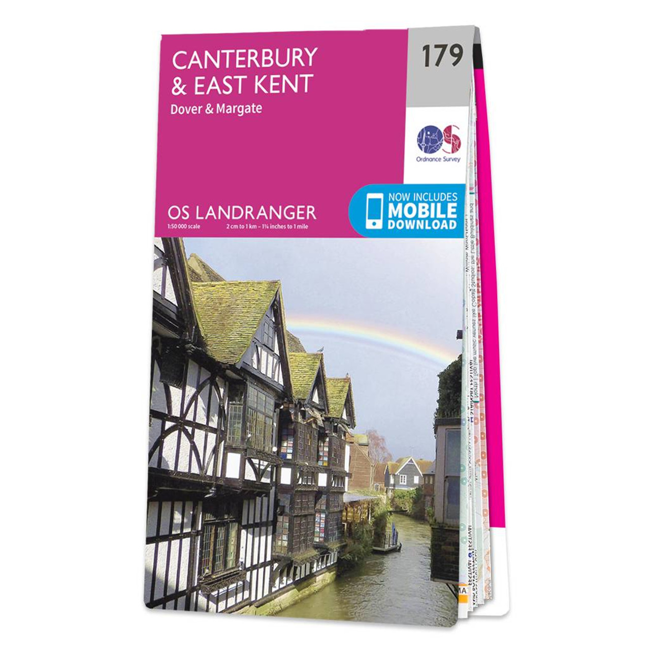
The Landranger map of Canterbury & East Kent, including Dover & Margate, is a must-have when planning your next trip to the area. Landranger maps are perfect for extensive hikes, cycling, and driving holidays.Ideal for planning days out or holidays to the far South-East coast, including the Cathedral City of Canterbury, the ports of Folkestone and Over, as well as Margate, Hythe, Whistable, and Herne bay. Other highlights on this map are The North Downs, the ancient Walled City of Canterbury, and the scenic walks on the Cliffs of Dover.Our Landranger maps come in standard or Weatherproof Active, you'll also receive a free download for your devices — making for a convenient companion. Publication Date: 24/02/2016
More information
Ordnance Survey (OS) maps are detailed and highly accurate maps produced by the national mapping agency of Great Britain.
OS maps are widely used for outdoor activities such as hiking, cycling, and land navigation, as well as for urban planning and development. The maps have been a trusted resource for over two centuries, evolving with technology to include digital formats and GPS compatibility.
The Ordnance Survey Map of Canterbury & East Kent is a must-have item if you're out exploring or visiting the area.


