

Ordnance Survey Map of Arundel & Pulborough
Ordnance Survey Map of Arundel & Pulborough, Maps, NA, Printed, NA,
£16.99
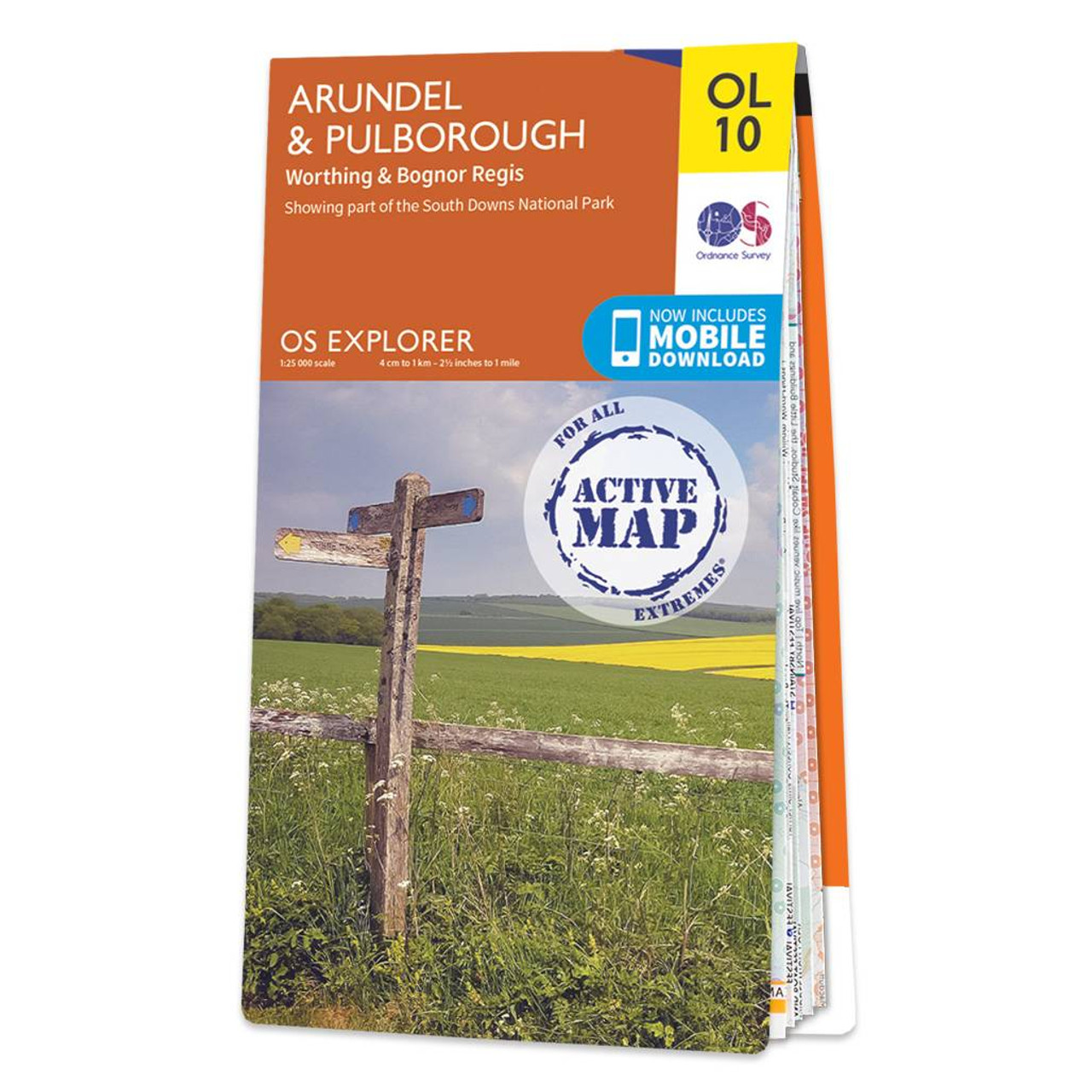
The OS Explorer map of Arundel & Pulborough, including Worthing and Bognor Regis. Map sheet OL10 replaces OS Explorer 121, and is a must-have when visiting the area.This map covers the South Downs National Park, the coastline between Bognor Regis and Worthing and the town of Arundel. Other stunning scenes to explore are the River Arun, Monarch's Way, and part of the South Downs Way.Our OS Explorer maps are perfect for day-tripping, extensive hikes, and cycling. They come in both standard and Weatherproof Active, so you'll never get caught out in a storm. This map also comes with a free digital download, so you can access it across your devices — making for a more convenient companion. Standard Publication Date: 17/05/2016 Weatherproof Publication Date: 13/06/2016
More information
Ordnance Survey (OS) maps are detailed and highly accurate maps produced by the national mapping agency of Great Britain.
OS maps are widely used for outdoor activities such as hiking, cycling, and land navigation, as well as for urban planning and development. The maps have been a trusted resource for over two centuries, evolving with technology to include digital formats and GPS compatibility.
The Ordnance Survey Map of Arundel & Pulborough is a must-have item if you're out exploring or visiting the area.


