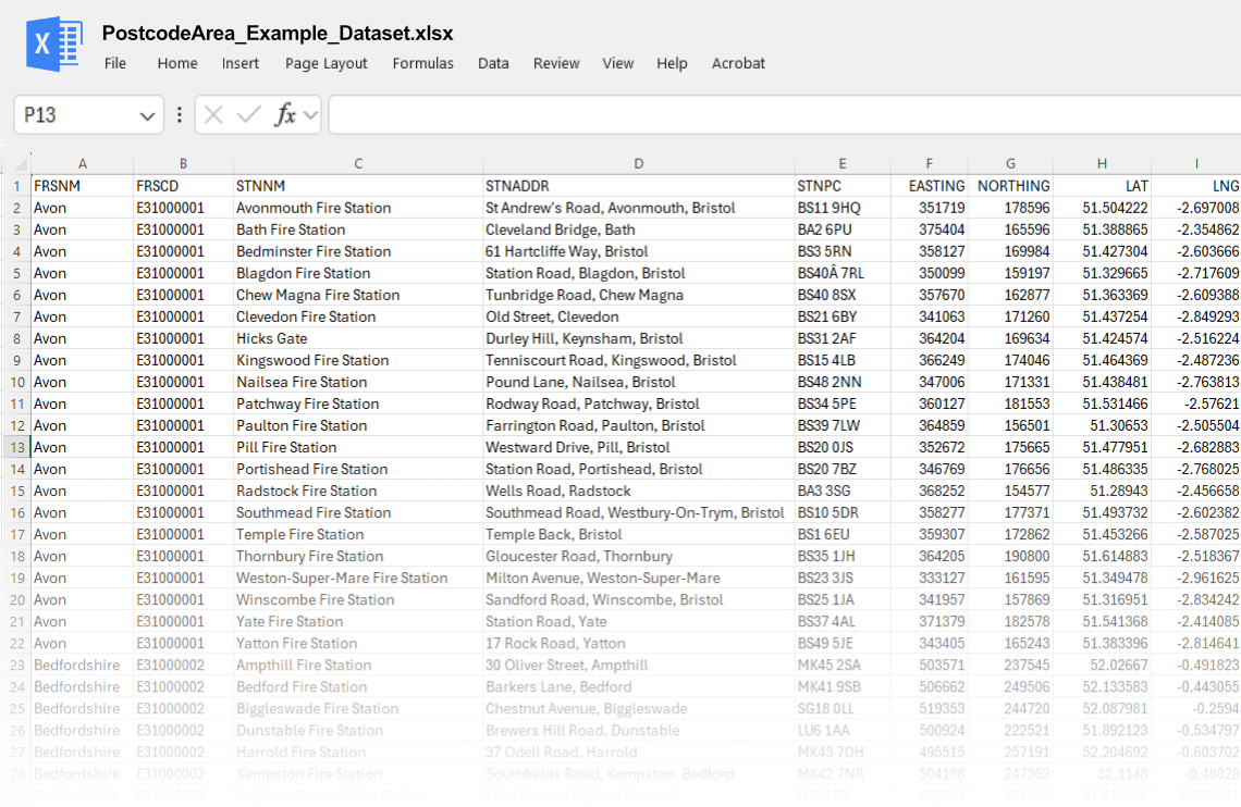
Parks & Spaces by LSOA
CSV spreadsheet listing open spaces and public parks in the UK. Includes area sizes, locations, population per park, average garden sizes, and geographic codes.


Overview
This dataset provides a detailed inventory of public parks and open spaces across the UK, categorised by Lower Super Output Areas (LSOAs). It includes location details, area sizes, population served per park, and average garden sizes. This dataset is a valuable resource for urban planners, environmental researchers, local councils, and developers looking to assess public space accessibility, green infrastructure, and community well-being.
What’s Included?
- Park/Open Space Name – The official name of the park or green space.
- Geography Code (LSOA) – A unique identifier for the LSOA in which the park is located.
- Area Size (hectares/acres) – The total size of the park or open space.
- Location (Address/Postcode) – Where applicable, a reference address for the park.
- Population Per Park – The estimated number of people that a particular green space serves.
- Average Garden Size in Area – Provides context on private green space availability within the LSOA.
Why This Data is Useful?
- Urban Planners & Local Authorities – Assess green space distribution and plan improvements to public park access.
- Environmental Researchers & NGOs – Study the impact of green spaces on air quality, biodiversity, and urban heat mitigation.
- Health & Well-being Advocates – Examine links between green space accessibility and community health outcomes.
- Property Developers & Estate Agents – Evaluate green space availability as a factor in residential desirability.
- Transport & Infrastructure Planners – Integrate parks into pedestrian and cycling route planning.
- Smart City Developers & GIS Analysts – Incorporate green space data into urban modelling and mapping applications.
This dataset supports data-driven decision-making for sustainable urban planning, environmental conservation, and community well-being, helping organisations enhance access to green spaces across the UK.
Price
(Inc. VAT)
Terms & Conditions of Sale
Acceptance of Terms
By accessing or purchasing any datasets from PostcodeArea.co.uk, you agree to be bound by these Terms & Conditions. If you do not agree with any part of these terms, please refrain from purchasing or using our datasets.
Product Description
Our datasets include a variety of information, which we have painstakingly gathered over more than a decade.
Use of Data
The datasets provided by PostcodeArea.co.uk are intended for informational purposes only. You are granted a non-exclusive, non-transferable licence to use the data for personal, educational, or commercial purposes. Redistribution, resale, or sub-licensing of the data is strictly prohibited.
Accuracy and Updates
While we strive to ensure that our datasets are as accurate and up-to-date as possible, we cannot guarantee the completeness, reliability, or timeliness of the data. The information in our datasets is subject to change, and there may be errors, omissions, or inaccuracies. We are not responsible for any errors, omissions, or inaccuracies, nor for any decisions made based on the data provided.
Refund Policy
If you are unhappy with your purchase for any reason, we are happy to offer a refund within 30 days of purchase. To request a refund, please contact our customer service team with your order details.
Limitation of Liability
PostcodeArea.co.uk and its owners, affiliates, or employees cannot be held liable for any direct, indirect, incidental, or consequential damages resulting from the use or misuse of the data. This includes, but is not limited to, any loss of profits, business interruption, or loss of information arising from the use of our datasets.
Indemnity
You agree to indemnify and hold harmless PostcodeArea.co.uk, its owners, affiliates, and employees from any claims, liabilities, damages, losses, or expenses arising out of your use of the data.
Governing Law
These Terms & Conditions are governed by and construed in accordance with the laws of England and Wales. Any disputes arising from these terms shall be subject to the exclusive jurisdiction of the courts of England and Wales.
Contact Information
For any questions or concerns regarding these Terms & Conditions, please contact us at:
Email: support@postcodearea.co.uk
Address: CliqTo Ltd, T/a PostcodeArea, 67 Burton Bank Lane, Stafford, England, United Kingdom, ST17 9JJ
Changes to Terms & Conditions
We reserve the right to modify these Terms & Conditions at any time. Any changes will be posted on this page, and it is your responsibility to review these terms periodically.

Unlock the full power of postcode insights.
Data is meaningless without context. Reveal the stories behind a neighbourhood, and make smarter decisions with data you can trust. Gain unlimited access to detailed statistics, exclusive reports, and essential tools.
PostcodeArea is grateful to our sponsors for their support.


