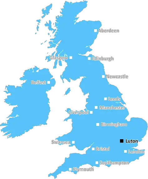
Aerial view of Luton Town
Luton: Diverse town, rich cultural tapestry, bustling market scene, green spaces, and convenient transport links to London and beyond. A town with a vibrant community and growing opportunities.
Luton, Dunstable, Leighton Buzzard.
Discover everything you need to know about Luton with PostcodeArea. Scroll down to uncover demographics, property prices, crime stats, amenities and more.
Here are the top 10 most desirable postcode areas in Luton (LU), based on a unique scoring system that weighs key factors like safety, schools, diversity, and affordability.
Whether you're a renter, homebuyer, or property investor, this tool lets you customise the score to focus on what matters most to you, helping you make smarter, data-driven decisions.
Our custom algorithm calculates a unique "Desirability Score" for any UK postcode by analysing a range of factors - including Census 2021 data, third-party insights, and socio-economic knowledge, to provide a tailored rating.
Explain more
Take a closer look at the top four industries shaping the Luton local area. These sectors play a key role in the economy of this postcode region.
Luton has a large proportion of professional and scientific businesses, which makes it a hub for specialised industries like law firms, consulting agencies, tech companies, or research labs. This suggests a high level of expertise and innovation, attracting professionals such as engineers, scientists, lawyers, and consultants. The Luton area might have a more polished, business-focused atmosphere, with modern offices and co-working spaces. It's often well-connected, with good transport links and amenities to support a skilled workforce. Property prices could be higher, as these areas tend to attract well-paid professionals. It might not be the most vibrant or social place, but it will have a reputation for being smart, efficient, and future-focused.
Luton has a strong presence of construction businesses, which usually means there's a lot of building going on - whether it's new homes, commercial spaces, or infrastructure. This can be a good sign that the Luton area is growing and attracting investment. It could also mean there's a strong local economy, with plenty of work available for builders and tradespeople. On the flip side, it might suggest there's a fair bit of property in need of repair or updating. Either way, it tells you the Luton area is pretty active and could be on the up.
Luton has a large percentage of Information & Communication businesses, making it a tech-savvy, modern, and highly connected place. These industries include IT services, telecommunications, media, and software development companies, so the area might have a strong digital infrastructure and attract tech professionals, creatives, and innovators. It suggests the Luton area is dynamic and forward-thinking, often with a mix of startups and established firms working in cutting-edge fields like software, digital marketing, or broadcasting. You'll likely find a lot of modern office spaces, co-working hubs, and good transport links to support these businesses. The vibe could feel energetic and entrepreneurial, but also professional, with a focus on innovation and staying connected.
If a postcode area such as LU has a lot of business administration services, such as accounting firms, HR consultancies, and management services, it's likely a centre for corporate and operational support. These businesses help other companies run smoothly, so the area might be more business-centric, attracting professionals like administrators, accountants, and consultants. The local economy could be quite strong, driven by a steady demand for services that keep companies ticking over. It's not necessarily the most exciting or creative environment, but it would be efficient, organised, and perhaps well-connected with reliable transport links. You'd expect to see a lot of office spaces in Luton and maybe even shared workspaces catering to small and medium-sized businesses. The area could feel more formal and professional, with less of a residential or leisure focus.
Data showing the activity, size and location is from the Inter Departmental Business Register 2024, produced by the ONS.
Luton LU, part of the ceremonial county of Bedfordshire in England, presents a substantial geographical area with 7 outward codes (the first half of a postcode, e.g. LU 1AA). Its population stands at 373,762 individuals, reflecting a density of 3,729 people per square kilometre. The average household income here is £50,053 , which is 43.0% higher than the average UK median household income (£35,000), indicating a stable economic profile within the region.
Luton
Postcodes
People
People/km2
Per household
Aerial view of Luton Town
Adobe Stock
Luton, a large town in Bedfordshire, has a population of around 214,000. The housing market is varied, with options ranging from modern apartments in the town centre to semi-detached and detached homes in suburbs like Leagrave and Wigmore.
Affordable housing is found in areas like Marsh Farm, while more upscale properties are available in Old Bedford Road and Bushmead.
The town offers good educational facilities, including the University of Bedfordshire, making it an appealing place to live for families and professionals.
This page contains a list of postcode districts for Luton area. Select a postcode to see the map location, demographics, house prices, local information, tourist guides and statistics:
Amazingly, considering how much there is squeezed in, Bedfordshire is England's smallest county. Perhaps what makes it look so deceptively large are the never ending undulating green fields, cosmopolitan towns and luscious rivers.
With such beautiful and valuable farmland it is little wonder that the area has been attracting new settlers for thousands of years, since it was the homeland of the ancient British Cantvellauni Tribe. From then on it was continually occupied by either the Romans or the Anglo Saxons or Danes, and was for a while known as the Kingdom of Mercia. The region's most famous son John Bunyan began the Pilgrim's Progress in Bedford Prison and a stone marks the prison's original site. In addition there is a museum and a statue in front of the church of St Peter, as well as a meeting-house named after him. For history buffs the county also has Woburn Abbey, ancestral seat of the Dukes of Bedford, built on a medieval abbey and sitting in parklands of over 3000 acres; now of course, a famous safari park. In addition there is the house at Luton Hoo built by Robert Adam (and with gardens landscaped by Capability Brown), the 19th century 5 arch bridge over the River Ouse and hundreds of old churches scattered throughout the region.
Read more about BedfordshireConsidering a move to the LU postal area? You’ll be pleased to know that it offers a range of convenient transport options to suit various needs.
By Rail: The area is well-served by several railway stations, including Luton, Luton Airport Parkway, and Leagrave. Direct trains to London make it perfect for commuters, with journey times as short as 30 minutes.
By Air: Luton Airport is right on your doorstep, offering both domestic and international flights. Whether it’s a business trip or a holiday, easy access to the airport is a major plus.
Commuting by Car: LU is well-connected by major roads, including the M1 motorway. This makes driving to nearby towns and cities straightforward and efficient.
By Bus: An extensive bus network ensures you can travel locally without a car. Services are frequent, making it simple to get around the area or reach train stations.
The following railway stations are within the LU postcode region:
Local Authorities are government organisations responsible for providing local services and facilities such as education, housing, and social services within a specific area. The LU postcode area includes the following local authorities:
Aylesbury Vale District Council focuses on balancing growth with the preservation of its rural character, supporting economic development, housing, and high-quality public services to enhance residents' quality of life.
Central Bedfordshire Council manages a mix of rural and urban areas, focusing on sustainable development, education, and improving infrastructure to support economic growth and community well-being.
Dacorum Borough Council promotes urban regeneration, community development, and economic growth while maintaining the area's historical heritage and providing comprehensive public services.
GDP (Gross Domestic Product) measures the total economic output of a country, region, or Local Authority. It tells us how much money is being made within a particular area. This includes everything from a business selling cars or consumers getting their hair cut.
This list of the Local Authorities within the Luton (LU) postcode town gives us a snapshot of how much money is being generated at current market prices, based on what people are spending and earning. It's an important way to understand the economic health and activity levels across the UK.
For comparison purposes, we've included the top and bottom two local authorities across the UK in terms of GDP.
The graph below shows the total GDP values for all Local Authorities within the Luton (LU) area:
When we talk about GDP at current market prices, we're looking at the total value of all goods and services produced in an area, but the key bit here is "current market prices." This means it includes the value of goods and services as they're bought and sold right now, without adjusting for inflation or changes in prices over time.
So, for example a figure of £2,678 GDP means that, on average, each person within an area contributes this amount to the UK economy each year.
Republished from the ONS regional gross domestic product: local authorities under the Open Government Licence v3.0. Latest available data: April 2022.
As rated by Ofsted
Alexandra Avenue, Luton, LU3 1HE
Secondary School (11-16)
Burr Street, Dunstable, LU6 3AG
Primary School (3-9)
Cartmel Drive, Dunstable, LU6 3PT
Primary School (3-11)
Stoneygate Road, Luton, LU4 9TJ
Secondary School (11-16)
Denbigh Road, Luton, LU3 1NS
Primary School (4-11)
Hillborough Road, Luton, LU1 5EZ
Primary School (7-11)
Wigmore Lane, Luton, LU2 8AH
Primary School (3-7)
Thrift Road, Leighton Buzzard, LU7 0AX
Primary School (5-9)
Addington Way, Luton, LU4 9FJ
Secondary School (11-16)
Beaconsfield, Luton, LU2 0RW
Primary School (4-7)
Data is meaningless without context. Reveal the stories behind a neighbourhood, and make smarter decisions with data you can trust. Gain unlimited access to detailed statistics, exclusive reports, and essential tools.
PostcodeArea is grateful to our sponsors for their support.