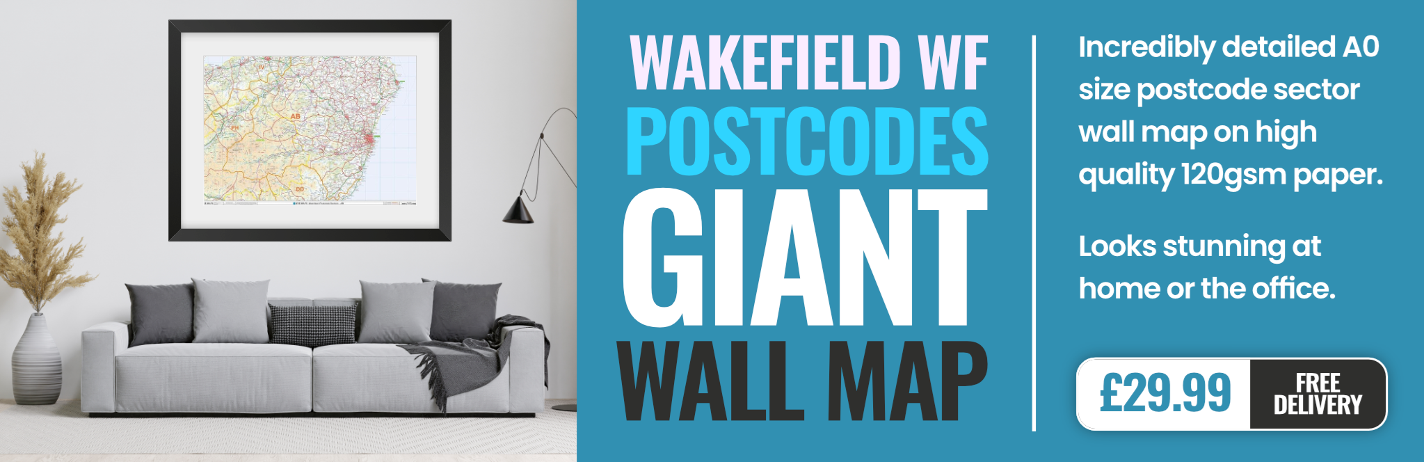
wakefield WF17 Postcodes
Spending a fortune on conveyancing?

Compare instant, low-cost online quotes from trusted conveyancing solicitors.
Backed by experts, our no-obligation service searches through the best conveyancing quotes on the market to save you time and money.
Wakefield (WF17)
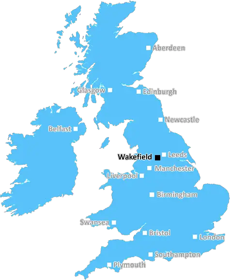
The WF17 postcode area is located in the Wakefield postcode town region, within the county of West Yorkshire, and contains a total of 1409 individual postcodes.
There are 23 electoral wards in the WF17 postcode area, including Batley, Castleford, Dewsbury, Heckmondwike, Knottingley, Liversedge, Mirfield, Normanton, Ossett, Pontefract, Wakefield which come under the local authority of the Kirklees Council.
Combining the whole postcode region, 15% of people in WF17 are classed as having an AB social grade, (i.e. 'white-collar' middle-upper class), compared to 27% across the UK.
This does not mean that the people of WF17 are poorer than other areas, but it may give an indication that there are areas of deprivation.
WF17 is a postcode district in the Wakefield post town of West Yorkshire, in the Yorkshire & The Humber region of the UK. It covers the areas of Altofts, Castleford, Heath, Littletown, Methley, Normanton, New Snydale, Whitwood, Middlestown, Odsal, Warmfield, Walton, Woodlesford, Altofts, Glasshoughton and Hermandford.
People living in this postcode district will be close to local amenities such as a range of shops in Castleford, a few supermarkets and banks in Normanton and a local high-street in Westgate. The area is well serviced by transport links with Wakefield directly providing rail and bus services, as well as local buses travelling between Castleford, Normanton and Westgate.
People living in the WF17 postcode district can access the 'Xscape' leisure complex, which is located in the 'Glasshoughton' area and includes activities such as a cinema, a climbing wall, a trampoline park and other activities. Other leisure activities in the area include a golf course located in Heath, as well as numerous parks such as the Normanton Park, which has facilities including tennis courts, a children's play park, plus an animal area and open fields.
WF17 provides access to schools such as the St. John Fisher Catholic Voluntary Academy in Castleford, as well as two publicly funded schools in Normanton and one in Castleford.
The housing in the WF17 postcode district consists mainly of terraced houses, most of which were constructed around the turn of the 20th century. There are also detached houses, bungalows and apartments available, located on the outskirts of the area. There is also a selection of new build housing developments in the Normanton and Westgate areas.
with a wide range of leisure and educational activities, great transport links, and a selection of properties available, the WF17 postcode district is an ideal place to live.

Demographics
West Yorkshire

WF17 is located in the county of West Yorkshire, in England.
West Yorkshire has a total population of 2,299,700, making it the 4th largest county in the UK.
West Yorkshire has a total area of 783 square miles, and a population density of 1133 people per square kilometre. For comparison, Greater London has a density of 5,618 people/km2.
| Outward Code | WF17 |
| Postal Town | Wakefield |
| MSOA Name | Kirklees 006 |
| LSOA Name | Kirklees 006B |
| County | West Yorkshire |
| Region | West Yorkshire |
| Country | England |
| Local Authority | Kirklees |
| Area Classification | Urban with Major Conurbation |
WF17 Electoral Wards
The postal region of WF17, includes the local towns, villages, electoral wards and stations of:
Dig even deeper into the WF17 postcode by clicking on a postcode below:
Click on an outward postal code below for more information about the area. Each 'outward' postcode give you a comprehensive list of all postcodes within the outward code area (WF) and estimated address.
Click on an 'outward' code for more information. For example, the outward postcode page 'EC2M' will give you an alphabetical list covering all postcodes located in the region, from 'EC2M 1BB' through to 'EC2M 7YA'.
Chris H
Sunday, April 7, 2024
We don't have any views of WF17 right now. If you live in WF17 or have visited it, please help us to help others by telling others what you think of this neighbourhood.
Add your view of WF17
People need your local expertise. If you live in WF17 or have first-hand knowledge of the neighbourhood, please consider sharing your views. It's completely anonymous - all we ask is for your initials.
Please tell us what you like about the WF17 postcode area, what you don't like, and what it's like to live or work here.
| LOCAL AMENITIES | |
| FAMILY FRIENDLY | |
| PARKING | |
| GREEN SPACES |
Local News West Yorkshire
Bradford City 1-0 Gillingham
Gillingham's play-off hopes take another dent with a second defeat in five days in Yorkshire.
BBC NewsWakefield council tax rise agreed amid angry scenes at meeting
A Wakefield Council budget meeting is adjourned after a heated debate over spending cuts.
BBC NewsDeaf team assistant condemns 'offensive' jibes
Footballers in the Leeds team are regularly mocked for having impaired hearing, Matt Dixon says.
BBC NewsFebruary 29: 'Leaplings' finally get to celebrate their birthdays
Three people in Yorkshire born on 29 February can only mark their "real" birthdays every four years.
BBC NewsCoroner raises concern over indefinite jail terms after man's death
John Hobson has urged the Ministry of Justice to consider the impact on offender's mental health.
BBC NewsSuper League: Hull FC 22-56 Huddersfield Giants - Adam Swift hat-trick sparks rout
Adam Swift's hat-trick sets Huddersfield on the way to another big win over Hull FC, this time in Super League.
BBC NewsMurder victim told police she feared ex-partner would kill her
Katie Higton warned officers of threats from Marcus Osborne, a timeline obtained by the BBC reveals.
BBC NewsCriminals' cash pays to train future plumbers
Cash seized under the Proceeds of Crime Act is funding training for teenagers in West Yorkshire.
BBC NewsFrom the Postcode Area blog

Deciphering Crime Rates - a Deep Dive Into UK Postcode Analysis
Ever wondered about the crime rate in your UK postcode? You're not alone. We've dug deep into the data, uncovering trends and patterns that'll make your head spin.

Death of the High Street?
The BBC reports that despite councils' attempts to kurb them, the UK's high streets have seen a huge growth in fast food outlets. Could this mark the death knell for the Great British high street, and what can we do about it to halt its decline?

Discrimination by Postcode
You really couldn't make it up, could you? Some of the country's most vulnerable people are missing out on their weekly £25 Cold Weather Payment, just because the system that's in operation is discriminating against them because payments are based on postcode, rather than geographic location.

The Redesign is Underway
Well, the current website was absolutely in dire need of a good redesign - from the ground up. So I set out to pull it all apart and get it up and running again to become the most comprehensive guide to every postcode in the UK. And it's been a long, tough job from start to finish - and quite possibly the biggest project I've ever undertaken.
SOCIAL GRADES
According to census records, 15% of people here have a social grade of AB (highest), compared to the national average of 27%.