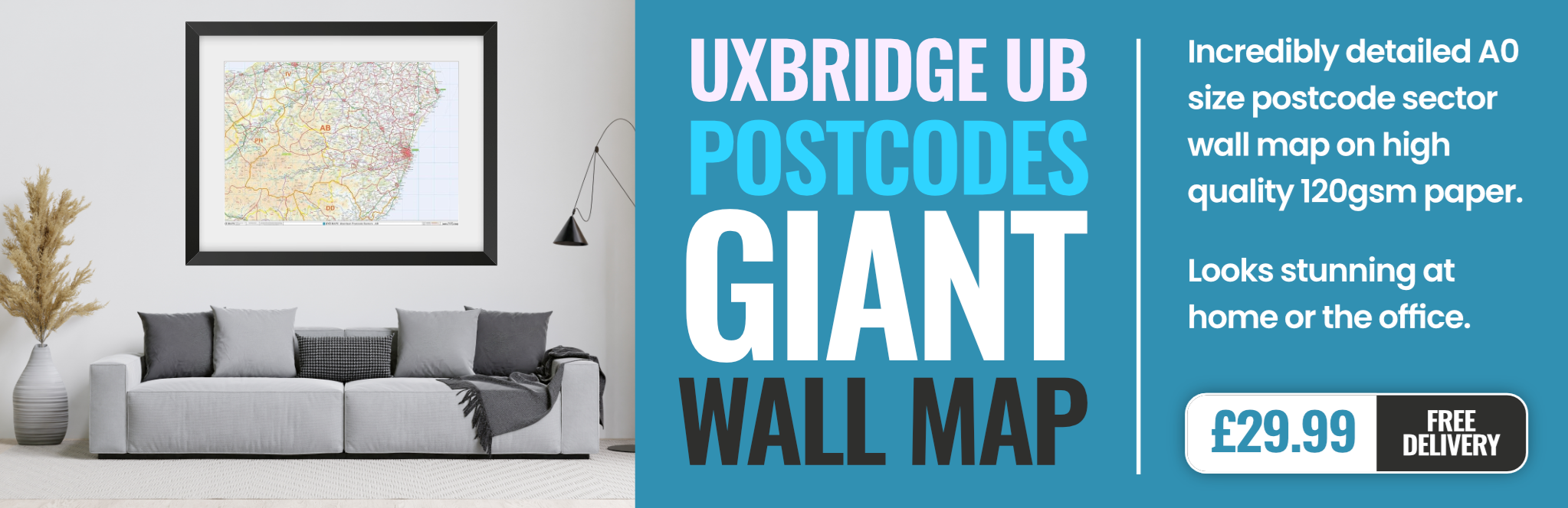
uxbridge UB2 Postcodes
Spending a fortune on conveyancing?

Compare instant, low-cost online quotes from trusted conveyancing solicitors.
Backed by experts, our no-obligation service searches through the best conveyancing quotes on the market to save you time and money.
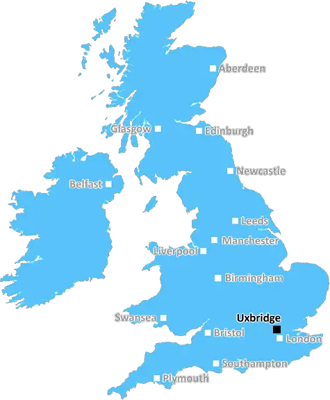
Uxbridge (UB2)
The UB2 postcode area is located in the Uxbridge postcode town region, within the county of Greater London, and contains a total of 726 individual postcodes.
There are 4 electoral wards in the UB2 postcode area, including Greenford, Hayes, Northolt, Southall, Uxbridge, West Drayton which come under the local authority of the Ealing Council.
Combining the whole postcode region, 13% of people in UB2 are classed as having an AB social grade, (i.e. 'white-collar' middle-upper class), compared to 27% across the UK.
This does not mean that the people of UB2 are poorer than other areas, but it may give an indication that there are areas of deprivation.
UB2 postcode area is located in the London Borough of Hillingdon, in the Uxbridge area of West London. It covers the residential districts of North Hillingdon, Harefield, Yeading, Norwood Green, Harlington, Southall, Hillingdon and Hayes. Between the districts, approximately 25,000 households are covered.
With close proximity to Uxbridge and the M25 motorway, UB2 provides direct access to a number of London boroughs and the wider region. Uxbridge itself is situated on the old River Colne, and is known as the �Gateway to the Chilterns'. It contains a number of well-known landmarks, including Uxbridge Barracks, St Margaret's Church and the site of the old Uxbridge Lock.
UB2's transport links include an extensive local bus network, as well as Uxbridge and Southall railway stations, which provide services to London, Reading and Birmingham. Heathrow Airport is located nearby, providing international connections to over 180 destinations.
UB2 is home to numerous parks and open spaces, such as Ruislip Woods, Lotmead Farm nature reserve and Chiselhampton Common. Other attractions include a public library, the Brunel University and a leisure complex that hosts cinemas, a gym and a shopping centre.
UB2 has a diverse demographic, featuring a mix of families, professionals and students. Majority of the residents are homeowners, although the area does have some pockets of rented housing. The demographics are mainly young, and a high number of individuals are aged between 16 and 35.
UB2 is mostly composed of post-war terraced housing, however there are several desirable quartes that offer larger houses and exclusive apartments. Property prices in the area are generally lower than neighbouring areas, rendering UB2 a more affordable option for those looking to get onto the property ladder.

Demographics
Greater London

UB2 is located in the county of Greater London, in England.
Greater London has a total population of 8,778,500, making it the 1st largest county in the UK.
Greater London has a total area of 606 square miles, and a population density of 5594 people per square kilometre. For comparison, Greater London has a density of 5,618 people/km2.
| Outward Code | UB2 |
| Postal Town | Uxbridge |
| MSOA Name | Ealing 026 |
| LSOA Name | Ealing 026C |
| County | Greater London |
| Region | Greater London |
| Country | England |
| Local Authority | Ealing |
| Area Classification | Urban with Major Conurbation |
UB2 Electoral Wards
The postal region of UB2, includes the local towns, villages, electoral wards and stations of:
Dig even deeper into the UB2 postcode by clicking on a postcode below:
Click on an outward postal code below for more information about the area. Each 'outward' postcode give you a comprehensive list of all postcodes within the outward code area (UB) and estimated address.
Click on an 'outward' code for more information. For example, the outward postcode page 'EC2M' will give you an alphabetical list covering all postcodes located in the region, from 'EC2M 1BB' through to 'EC2M 7YA'.
Chris H
Sunday, April 7, 2024
We don't have any views of UB2 right now. If you live in UB2 or have visited it, please help us to help others by telling others what you think of this neighbourhood.
Add your view of UB2
People need your local expertise. If you live in UB2 or have first-hand knowledge of the neighbourhood, please consider sharing your views. It's completely anonymous - all we ask is for your initials.
Please tell us what you like about the UB2 postcode area, what you don't like, and what it's like to live or work here.
| LOCAL AMENITIES | |
| FAMILY FRIENDLY | |
| PARKING | |
| GREEN SPACES |
From the Postcode Area blog

Deciphering Crime Rates - a Deep Dive Into UK Postcode Analysis
Ever wondered about the crime rate in your UK postcode? You're not alone. We've dug deep into the data, uncovering trends and patterns that'll make your head spin.

Death of the High Street?
The BBC reports that despite councils' attempts to kurb them, the UK's high streets have seen a huge growth in fast food outlets. Could this mark the death knell for the Great British high street, and what can we do about it to halt its decline?

Discrimination by Postcode
You really couldn't make it up, could you? Some of the country's most vulnerable people are missing out on their weekly £25 Cold Weather Payment, just because the system that's in operation is discriminating against them because payments are based on postcode, rather than geographic location.

The Redesign is Underway
Well, the current website was absolutely in dire need of a good redesign - from the ground up. So I set out to pull it all apart and get it up and running again to become the most comprehensive guide to every postcode in the UK. And it's been a long, tough job from start to finish - and quite possibly the biggest project I've ever undertaken.
SOCIAL GRADES
According to census records, 13% of people here have a social grade of AB (highest), compared to the national average of 27%.