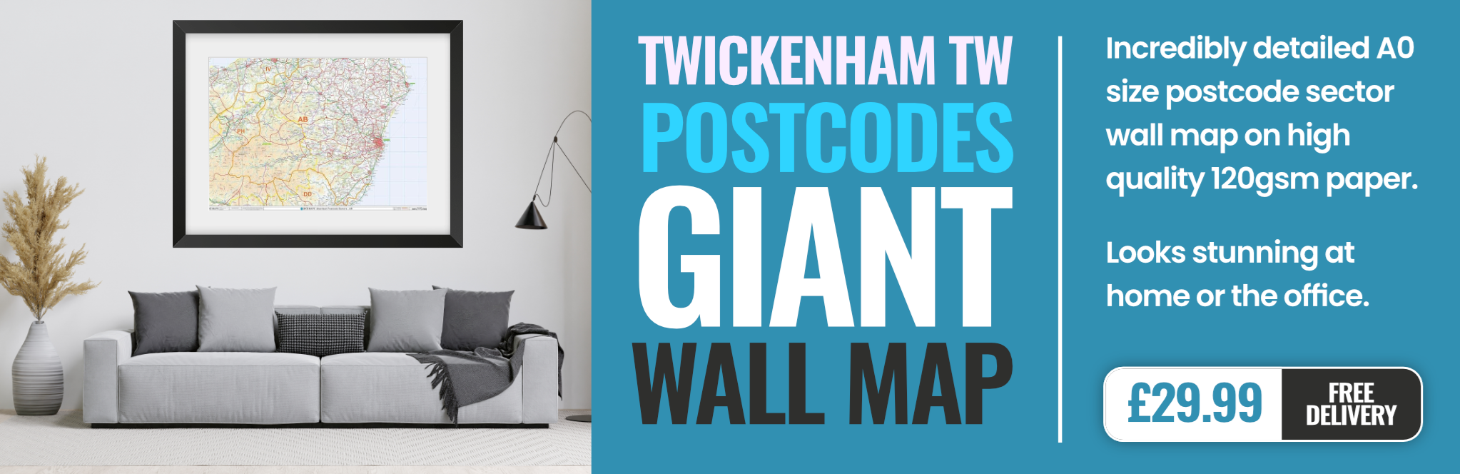
twickenham TW4 Postcodes
Spending a fortune on conveyancing?

Compare instant, low-cost online quotes from trusted conveyancing solicitors.
Backed by experts, our no-obligation service searches through the best conveyancing quotes on the market to save you time and money.
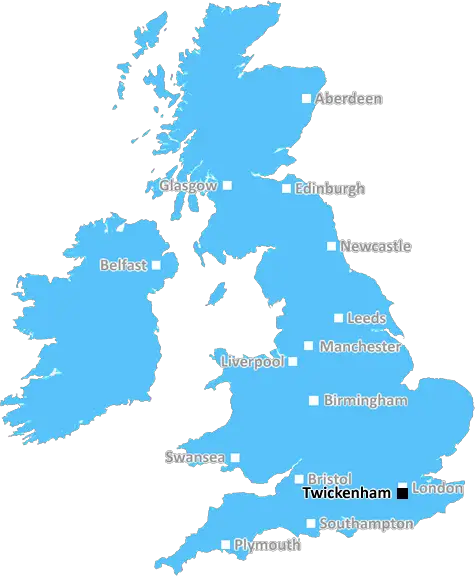
Twickenham (TW4)
The TW4 postcode area is located in the Twickenham postcode town region, within the county of Greater London, and contains a total of 731 individual postcodes.
There are 3 electoral wards in the TW4 postcode area, including Ashford, Brentford, Egham, Feltham, Hampton, Hounslow, Isleworth, Richmond, Shepperton, Staines, Sunbury-On-Thames, Teddington, Twickenham which come under the local authority of the Hounslow Council.
Combining the whole postcode region, 18% of people in TW4 are classed as having an AB social grade, (i.e. 'white-collar' middle-upper class), compared to 27% across the UK.
This does not mean that the people of TW4 are poorer than other areas, but it may give an indication that there are areas of deprivation.
The TW4 postcode is part of the Twickenham district in the London Borough of Richmond upon Thames. It includes the areas of Whitton, Hampton Road and Hounslow West, as well as parts of Isleworth and Hanworth. The postcode covers a large area, roughly spanning from the west side of the River Crane on the south to parts of the border with Hounslow on the west, the town of Whitton in the north, and the River Thames on the east side.
The area is a popular commuter location, with excellent transport links to Central London and Heathrow Airport as well as access to the M4 motorway. For those that prefer not to use public transport, there is plenty of free parking available.
The TW4 area offers plenty of green spaces to explore, with Bushy Park, Crane Park, Marble Hill Park, St Margaret's Churchyard and several local nature reserves all within easy reach. The area also has a large number of shops and restaurants, as well as a range of services and amenities such as leisure centres, hairdressers, cafes and pubs.
There are several primary and secondary schools located in the postcode area, as well as a variety of educational institutions such as Richmond Adult Community College and Hammersmith and West London College. There are also plenty of options for higher education, with the University of West London, St Mary's University and the Richmond American International University all based in the area.
The area is home to Twickenham Rugby Stadium, one of the most famous and iconic sporting venues in the world. As well as hosting international matches, it is also home to a number of other events, such as the Twickenham Festival, which is held in the summer.
TheTW4 postcode area provides a great location for those looking to access all the benefits of city living without having to live too close, as it offers plenty of green spaces, excellent transport links and plenty of cultural and recreational activities.

Demographics
Greater London

TW4 is located in the county of Greater London, in England.
Greater London has a total population of 8,778,500, making it the 1st largest county in the UK.
Greater London has a total area of 606 square miles, and a population density of 5594 people per square kilometre. For comparison, Greater London has a density of 5,618 people/km2.
| Outward Code | TW4 |
| Postal Town | Twickenham |
| MSOA Name | Hounslow 021 |
| LSOA Name | Hounslow 021B |
| County | Greater London |
| Region | Greater London |
| Country | England |
| Local Authority | Hounslow |
| Area Classification | Urban with Major Conurbation |
TW4 Electoral Wards
The postal region of TW4, includes the local towns, villages, electoral wards and stations of:
Dig even deeper into the TW4 postcode by clicking on a postcode below:
Click on an outward postal code below for more information about the area. Each 'outward' postcode give you a comprehensive list of all postcodes within the outward code area (TW) and estimated address.
Click on an 'outward' code for more information. For example, the outward postcode page 'EC2M' will give you an alphabetical list covering all postcodes located in the region, from 'EC2M 1BB' through to 'EC2M 7YA'.
Chris H
Sunday, April 7, 2024
We don't have any views of TW4 right now. If you live in TW4 or have visited it, please help us to help others by telling others what you think of this neighbourhood.
Add your view of TW4
People need your local expertise. If you live in TW4 or have first-hand knowledge of the neighbourhood, please consider sharing your views. It's completely anonymous - all we ask is for your initials.
Please tell us what you like about the TW4 postcode area, what you don't like, and what it's like to live or work here.
| LOCAL AMENITIES | |
| FAMILY FRIENDLY | |
| PARKING | |
| GREEN SPACES |
From the Postcode Area blog

Deciphering Crime Rates - a Deep Dive Into UK Postcode Analysis
Ever wondered about the crime rate in your UK postcode? You're not alone. We've dug deep into the data, uncovering trends and patterns that'll make your head spin.

Death of the High Street?
The BBC reports that despite councils' attempts to kurb them, the UK's high streets have seen a huge growth in fast food outlets. Could this mark the death knell for the Great British high street, and what can we do about it to halt its decline?

Discrimination by Postcode
You really couldn't make it up, could you? Some of the country's most vulnerable people are missing out on their weekly £25 Cold Weather Payment, just because the system that's in operation is discriminating against them because payments are based on postcode, rather than geographic location.

The Redesign is Underway
Well, the current website was absolutely in dire need of a good redesign - from the ground up. So I set out to pull it all apart and get it up and running again to become the most comprehensive guide to every postcode in the UK. And it's been a long, tough job from start to finish - and quite possibly the biggest project I've ever undertaken.
SOCIAL GRADES
According to census records, 18% of people here have a social grade of AB (highest), compared to the national average of 27%.