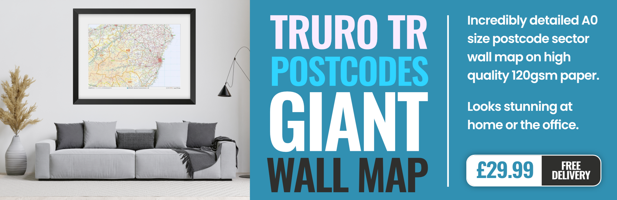
truro TR1 Postcodes
Spending a fortune on conveyancing?

Compare instant, low-cost online quotes from trusted conveyancing solicitors.
Backed by experts, our no-obligation service searches through the best conveyancing quotes on the market to save you time and money.
Truro (TR1)
The TR1 postcode area is located in the Truro postcode town region, within the county of Cornwall, and contains a total of 1240 individual postcodes.
There are 12 electoral wards in the TR1 postcode area, including Camborne, Falmouth, Hayle, Helston, Isles Of Scilly, Marazion, Newquay, Penryn, Penzance, Perranporth, Redruth, St Agnes, St Columb, St Ives, Truro which come under the local authority of the Cornwall,Isles of Scilly Council.
Combining the whole postcode region, 26% of people in TR1 are classed as having an AB social grade, (i.e. 'white-collar' middle-upper class), compared to 27% across the UK.
This does not mean that the people of TR1 are poorer than other areas, but it may give an indication that there are areas of deprivation.
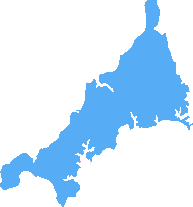
TR1 postcode is an area of Truro (Cornwall, UK) which falls under the Royal Mail's Truro post town. TR1 postcode area is an almost circular patch bounded by the A390 Falmouth Road to the south, the A30 Penzance Road to the west and the A390 Victoria Road to the north. It is also bordered to the east by the Truro rivers. It is comprised of two postcode districts, TR1 1 and TR1 2.
The TR1 postcode area is home to a diverse mixture of residential and commercial properties. It contains mostly traditional terraced and semi-detached housing in the city centre as well as modern housing developments. There is also a mix of student properties, shopping centres, pubs and restaurants in the area.
The TR1 district is in close proximity to many of the attractions that Truro, and Cornwall, has to offer. It is within easy reach of the picturesque waterfront, the Royal Cornwall Museum, and the sailing, beaches and countryside of the surrounding area. The area is particularly popular with families due to its easy access to a range of shops, parks, nature reserves and local amenities.
The TR1 district is also a popular area for commuters, as the rail and bus links connect Truro to both Falmouth and Penzance. It is well served by several bus routes and two railway lines.
TR1 postcode district has seen a high amount of expansion and development in recent years, with the development of new properties (from housing to offices and retail spaces) within the area. There has also been a growing focus on improving the environment, with projects including improvements to public spaces, planting of trees and improvement of paths and roads.
TR1 postcode is an area that is quickly becoming known for its character, vibrancy and community spirit. With its easy access to the coast and countryside, its vibrant nightlife, shopping and restaurants, and its expanding business community, TR1 is a great place to live and work.

Demographics
Cornwall
TR1 is located in the county of Cornwall, in England.
Cornwall has a total population of 556,000, making it the 40th largest county in the UK.
Cornwall has a total area of 1375 square miles, and a population density of 156 people per square kilometre. For comparison, Greater London has a density of 5,618 people/km2.

| Outward Code | TR1 |
| Postal Town | Truro |
| MSOA Name | Cornwall 044 |
| LSOA Name | Cornwall 044A |
| County | Cornwall |
| Region | Cornwall |
| Country | England |
| Local Authority | Cornwall,Isles of Scilly |
| Area Classification | Mainly Rural (rural including hub towns >=80%) |
TR1 Electoral Wards
The postal region of TR1, includes the local towns, villages, electoral wards and stations of:
Dig even deeper into the TR1 postcode by clicking on a postcode below:
Click on an outward postal code below for more information about the area. Each 'outward' postcode give you a comprehensive list of all postcodes within the outward code area (TR) and estimated address.
Click on an 'outward' code for more information. For example, the outward postcode page 'EC2M' will give you an alphabetical list covering all postcodes located in the region, from 'EC2M 1BB' through to 'EC2M 7YA'.
MAK, Truro
Monday, September 11, 2023
Are the statistics graphs on this TR1 3RU page reliable? Please see the doughnut graph and caption for Gender Split and note caption says Male 25% Blue and Female 75% Mauve. but the graph displays the opposite of this. Which is correct?
Add your view of TR1
People need your local expertise. If you live in TR1 or have first-hand knowledge of the neighbourhood, please consider sharing your views. It's completely anonymous - all we ask is for your initials.
Please tell us what you like about the TR1 postcode area, what you don't like, and what it's like to live or work here.
| LOCAL AMENITIES | |
| FAMILY FRIENDLY | |
| PARKING | |
| GREEN SPACES |
Local News Cornwall
Man with suspected broken leg rescued from cove
The RNLI said the man was taken by helicopter to hospital.
BBC NewsCornwall planning: Concerns over extension proposal for Gypsy and Traveller site
There are road safety fears near a children's activity park
Cornwall LiveApplications for Clare's law double since 2020
Police say it's "a positive" more people asking them if partners have a violent criminal history.
BBC NewsSt Ives shop blasts 'scandalous' woman who stole and came back the next day
The owner of Just Lily, founded in Cornwall during the pandemic, has hit out at those who think they can get away with stealing from small businesses
Cornwall LiveMatthew Bradfield sentenced after ramming two police cars in St Austell incident
Police feared for their safety as the stolen Ford Ranger pick-up truck driven by Matthew Bradfield moved to leave the scene
Cornwall LiveMet Office 'danger to life' weather warning as 70mph gales are forecast
The Met Office has warned of severe gale-force winds with gusts up to 70mph likely along the coastline.
Cornwall LiveLive: Serious rush hour crash blocks key route in Cornwall
B3274 closed in both directions due to a serious collision in St Columb
Cornwall LiveWet weather sees farming morale at 'all time low'
Prolonged wet weather impacts pastoral and arable farming across the south-west of England.
BBC NewsFrom the Postcode Area blog

Deciphering Crime Rates - a Deep Dive Into UK Postcode Analysis
Ever wondered about the crime rate in your UK postcode? You're not alone. We've dug deep into the data, uncovering trends and patterns that'll make your head spin.

Death of the High Street?
The BBC reports that despite councils' attempts to kurb them, the UK's high streets have seen a huge growth in fast food outlets. Could this mark the death knell for the Great British high street, and what can we do about it to halt its decline?

Discrimination by Postcode
You really couldn't make it up, could you? Some of the country's most vulnerable people are missing out on their weekly £25 Cold Weather Payment, just because the system that's in operation is discriminating against them because payments are based on postcode, rather than geographic location.

The Redesign is Underway
Well, the current website was absolutely in dire need of a good redesign - from the ground up. So I set out to pull it all apart and get it up and running again to become the most comprehensive guide to every postcode in the UK. And it's been a long, tough job from start to finish - and quite possibly the biggest project I've ever undertaken.
SOCIAL GRADES
According to census records, 26% of people here have a social grade of AB (highest), compared to the national average of 27%.