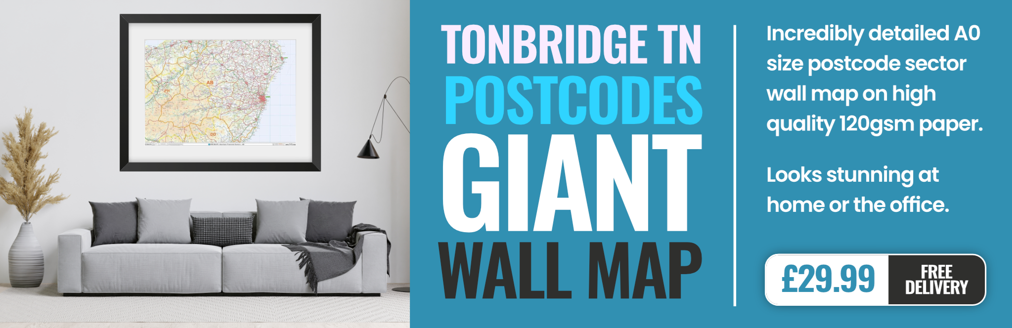
tonbridge TN4 Postcodes
Spending a fortune on conveyancing?

Compare instant, low-cost online quotes from trusted conveyancing solicitors.
Backed by experts, our no-obligation service searches through the best conveyancing quotes on the market to save you time and money.
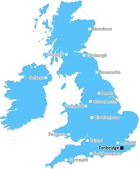
Tonbridge (TN4)
The TN4 postcode area is located in the Tonbridge postcode town region, within the county of Kent, and contains a total of 1045 individual postcodes.
There are 12 electoral wards in the TN4 postcode area, including Ashford, Battle, Bexhill-On-Sea, Cranbrook, Crowborough, Edenbridge, Etchingham, Hartfield, Hastings, Heathfield, Mayfield, New Romney, Robertsbridge, Romney Marsh, Rye, Sevenoaks, St Leonards-On-Sea, Tenterden, Tonbridge, Tunbridge Wells, Uckfield, Wadhurst, Westerham, Winchelsea which come under the local authority of the Tunbridge Wells Council.
Combining the whole postcode region, 32% of people in TN4 are classed as having an AB social grade, (i.e. 'white-collar' middle-upper class), compared to 27% across the UK.
This does not mean that the people of TN4 are wealthier - or higher class - than average, but it can be an indication that the area may be prospering and desirable to live in.
TN4 is a postcode district in the Tonbridge and Malling Borough of Kent, England. It is located to the northwest of Sevenoaks and southeast of Tunbridge Wells.
Within its bounds, TN4 covers a variety of towns and villages, including Brenchley, Matfield, Horsmonden, Southborough, Frittenden, Staplehurst, Goudhurst, Frant, Paddock Wood and Tonbridge. It also includes a large area of rural landscape.
TN4 is home to many well-known attractions. It contains Tonbridge Castle, a former royal residence whose ruins stand on the crest of a sharp hill. The castle dates back to the 11th century and features a setting of wide, flat meadows contrasting with the surrounding landscape.
The area is also home to the Oast Houses of Paddock Wood, a type of hop-drying building unique to the region. Russell Guilford, an artisan space, is located in the area and houses artisan businesses, a caf� and a gallery space. Other attractions include the New House Farm, which is home to a range of animals such as ponies, llamas and alpacas, and Momma Bears, a sweet-shop known for its homemade ice cream.
TN4's economy is greatly aided by its proximity and connections to London, which is located only 30 miles away. The area has a wealth of independent businesses, including a range of antique shops and boutiques.
TN4 has a very good educational system with two secondary schools -Tonbridge School and The Judds. Each has an enviable reputation and both schools are regularly in the top ten for academic performance in England. Numerous primary schools are located in the area including Castle Road, St Stephens and Hilden Oaks.
TN4 is well-connected by bus and rail, with several bus services operating in the area. Meanwhile, its two railway stations � Paddock Wood and Tonbridge � provide regular services to London, other Kent towns and Brighton.
TN4 is a flourishing postcode district that combines excellent educational facilities, rich heritage, beautiful rural landscape and proximity to London � making it a great destination for families, couples and visitors alike.

Demographics
Kent

TN4 is located in the county of Kent, in England.
Kent has a total population of 1,820,400, making it the 6th largest county in the UK.
Kent has a total area of 1443 square miles, and a population density of 486 people per square kilometre. For comparison, Greater London has a density of 5,618 people/km2.
| Outward Code | TN4 |
| Postal Town | Tonbridge |
| MSOA Name | Tunbridge Wells 003 |
| LSOA Name | Tunbridge Wells 003C |
| County | Kent |
| Region | Kent |
| Country | England |
| Local Authority | Tunbridge Wells |
| Area Classification | Urban with Significant Rural (rural including hub towns 26-49%) |
TN4 Electoral Wards
The postal region of TN4, includes the local towns, villages, electoral wards and stations of:
Dig even deeper into the TN4 postcode by clicking on a postcode below:
Click on an outward postal code below for more information about the area. Each 'outward' postcode give you a comprehensive list of all postcodes within the outward code area (TN) and estimated address.
Click on an 'outward' code for more information. For example, the outward postcode page 'EC2M' will give you an alphabetical list covering all postcodes located in the region, from 'EC2M 1BB' through to 'EC2M 7YA'.
Chris H
Friday, April 12, 2024
We don't have any views of TN4 right now. If you live in TN4 or have visited it, please help us to help others by telling others what you think of this neighbourhood.
Add your view of TN4
People need your local expertise. If you live in TN4 or have first-hand knowledge of the neighbourhood, please consider sharing your views. It's completely anonymous - all we ask is for your initials.
Please tell us what you like about the TN4 postcode area, what you don't like, and what it's like to live or work here.
| LOCAL AMENITIES | |
| FAMILY FRIENDLY | |
| PARKING | |
| GREEN SPACES |
Local News Kent
Places for People acquires Rosewood Housing
The affordable homes provider was previously owned by housing developer Inland Homes.
Property WeekFirst-time buyers account for record third of all housing sales
Hamptons' research also showsthe most popular area to a buy home for first-time buyers is Slough.
Property WeekMirabaud buys Virgin Atlantic HQ in UK debut
Swiss investor snaps up grade-A office scheme let to Virgin Atlantic until 2032.
Property WeekL&G acquires Cambridgeshire BTR scheme from Stonebond
The 41-unit development comprises 10 flats and 31 houses.
Property WeekDad of three saved by son after cardiac arrest
A dad of three was saved by his son after he started having a cardiac arrest while at home.
Kent OnlineQuadrant gets green light for residential-led scheme in Kent
The project will also include the development of more than 376,700 sq ft of grade-A commercial space.
Property WeekRare collection of Barbie dolls up for auction
The Barbie dolls are among collectables being put up for sale at Canterbury Auction Galleries.
BBC NewsHuge two-storey supermarket to open in former Argos next week
A huge two-storey Iceland supermarket will open inside a former Argos unit next week.
Kent OnlineFrom the Postcode Area blog

Deciphering Crime Rates - a Deep Dive Into UK Postcode Analysis
Ever wondered about the crime rate in your UK postcode? You're not alone. We've dug deep into the data, uncovering trends and patterns that'll make your head spin.

Death of the High Street?
The BBC reports that despite councils' attempts to kurb them, the UK's high streets have seen a huge growth in fast food outlets. Could this mark the death knell for the Great British high street, and what can we do about it to halt its decline?

Discrimination by Postcode
You really couldn't make it up, could you? Some of the country's most vulnerable people are missing out on their weekly £25 Cold Weather Payment, just because the system that's in operation is discriminating against them because payments are based on postcode, rather than geographic location.

The Redesign is Underway
Well, the current website was absolutely in dire need of a good redesign - from the ground up. So I set out to pull it all apart and get it up and running again to become the most comprehensive guide to every postcode in the UK. And it's been a long, tough job from start to finish - and quite possibly the biggest project I've ever undertaken.
SOCIAL GRADES
According to census records, 32% of people here have a social grade of AB (highest), compared to the national average of 27%.