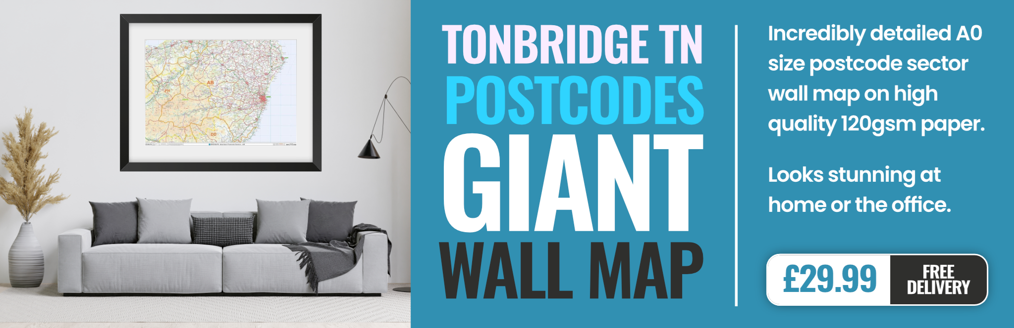
tonbridge TN14 Postcodes
Spending a fortune on conveyancing?

Compare instant, low-cost online quotes from trusted conveyancing solicitors.
Backed by experts, our no-obligation service searches through the best conveyancing quotes on the market to save you time and money.
Tonbridge (TN14)
The TN14 postcode area is located in the Tonbridge postcode town region, within the county of Kent, and contains a total of 778 individual postcodes.
There are 52 electoral wards in the TN14 postcode area, including Ashford, Battle, Bexhill-On-Sea, Cranbrook, Crowborough, Edenbridge, Etchingham, Hartfield, Hastings, Heathfield, Mayfield, New Romney, Robertsbridge, Romney Marsh, Rye, Sevenoaks, St Leonards-On-Sea, Tenterden, Tonbridge, Tunbridge Wells, Uckfield, Wadhurst, Westerham, Winchelsea which come under the local authority of the Sevenoaks Council.
Combining the whole postcode region, 39% of people in TN14 are classed as having an AB social grade, (i.e. 'white-collar' middle-upper class), compared to 27% across the UK.
This does not mean that the people of TN14 are wealthier - or higher class - than average, but it can be an indication that the area may be prospering and desirable to live in.
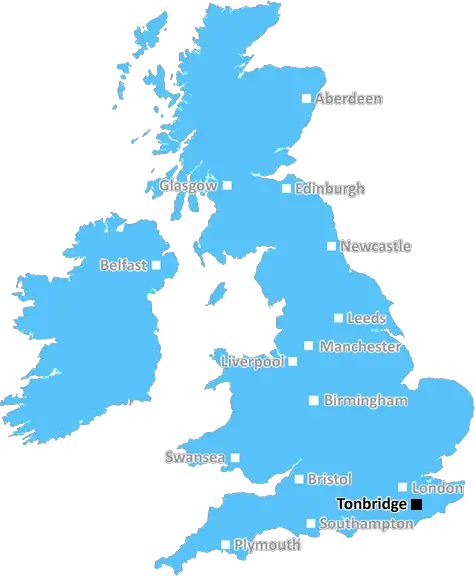
TN14 postcode covers the area of Tonbridge, a mid-sized town located within the wider catchment area of the Sevenoaks district in Kent, England. It is situated around thirty miles south-east of London and is one of the many towns within the popular M25 London ring road. The TN14 postcode covers a large area and includes parts of the town centre, including the famous Tonbridge Castle, as well as parts of the countryside surrounding the town such as Penshurst and Leigh.
The town of Tonbridge dates back to the Iron Age and it is known for its Norman castle, built in the mid-eleventh century by Richard fitz Gilbert. This castle has been used as both a fortress and a private residence since it was built and it is now a popular tourist attraction. Today, the town is home to a bustling high street and a vibrant local economy, with a great selection of shops, cafes, restaurants, bars, and attractions to keep visitors entertained. There are also several local landmarks including the Tonbridge 15th century arch bridge, Haysden Country Park, and Pillory Gate.
Tonbridge is served by many frequent trains to London and other nearby towns, as well as a good selection of buses. This makes it ideal for commuters who travel into London or Kent for work. There are also some good schools in the area, making it a popular choice for families.
The TN14 postcode covers a wide area and includes parts of the Five Oak Green and Leigh villages, as well as many areas of the countryside that surround the town. There are plenty of country pubs, restaurants, and country walks in this region, making it the perfect spot for a relaxing day out. There is also a wide variety of leisure activities available in and around the town, from golf courses and football pitches to cricket greens and tennis courts.
The TN14 postcode is a great place to live and visit, offering something for everyone. From historic sites to modern comforts, there is something for everyone in Tonbridge.

Demographics
Kent

TN14 is located in the county of Kent, in England.
Kent has a total population of 1,820,400, making it the 6th largest county in the UK.
Kent has a total area of 1443 square miles, and a population density of 486 people per square kilometre. For comparison, Greater London has a density of 5,618 people/km2.
| Outward Code | TN14 |
| Postal Town | Tonbridge |
| MSOA Name | Sevenoaks 010 |
| LSOA Name | Sevenoaks 010E |
| County | Kent |
| Region | Kent |
| Country | England |
| Local Authority | Sevenoaks |
| Area Classification | Largely Rural (rural including hub towns 50-79%) |
TN14 Electoral Wards
The postal region of TN14, includes the local towns, villages, electoral wards and stations of:
Dig even deeper into the TN14 postcode by clicking on a postcode below:
Click on an outward postal code below for more information about the area. Each 'outward' postcode give you a comprehensive list of all postcodes within the outward code area (TN) and estimated address.
Click on an 'outward' code for more information. For example, the outward postcode page 'EC2M' will give you an alphabetical list covering all postcodes located in the region, from 'EC2M 1BB' through to 'EC2M 7YA'.
Chris H
Monday, April 8, 2024
We don't have any views of TN14 right now. If you live in TN14 or have visited it, please help us to help others by telling others what you think of this neighbourhood.
Add your view of TN14
People need your local expertise. If you live in TN14 or have first-hand knowledge of the neighbourhood, please consider sharing your views. It's completely anonymous - all we ask is for your initials.
Please tell us what you like about the TN14 postcode area, what you don't like, and what it's like to live or work here.
| LOCAL AMENITIES | |
| FAMILY FRIENDLY | |
| PARKING | |
| GREEN SPACES |
Local News Kent
YASA to move UK HQ to Bicester Motion Innovation Quarter
TheMercedes-Benz subsidiary will relocate its teams to the Bicester site in 2026
Property WeekSikh community prepares for Vaisakhi celebrations
Preparations have begun for the parade next weekend, which is expecting about 10,000 participants.
BBC NewsCrackdown and fines for 'nuisance drivers' and boy racers across towns
Nuisance motorists will be fined and be taken to court as part of a towns-wide clampdown on boy racers and anti-social drivers, a council has pledged.
Kent OnlineThe world-famous Kent cottage and the tragic artist who made it his home
A new book gives a rare glimpse inside the home of one of the nation's most influential artists.
Kent OnlineUniversity staff vote to strike over job losses and cut courses
Staff at a Kent university have voted to strike over courses being cut and in defence of jobs.
Kent OnlineSellar gets green light for Hertfordshire media facility
The developer has designed the scheme to appeal to the media sector, as well as being appropriate for logistics, warehousing and data centre uses.
Property WeekQuadrant gets green light for residential-led scheme in Kent
The project will also include the development of more than 376,700 sq ft of grade-A commercial space.
Property WeekUK Space Agency primed for Harwell Campus landing
The government agency has taken around 10,500 sq ft of space in the Quad Two building.
Property WeekFrom the Postcode Area blog

Deciphering Crime Rates - a Deep Dive Into UK Postcode Analysis
Ever wondered about the crime rate in your UK postcode? You're not alone. We've dug deep into the data, uncovering trends and patterns that'll make your head spin.

Death of the High Street?
The BBC reports that despite councils' attempts to kurb them, the UK's high streets have seen a huge growth in fast food outlets. Could this mark the death knell for the Great British high street, and what can we do about it to halt its decline?

Discrimination by Postcode
You really couldn't make it up, could you? Some of the country's most vulnerable people are missing out on their weekly £25 Cold Weather Payment, just because the system that's in operation is discriminating against them because payments are based on postcode, rather than geographic location.

The Redesign is Underway
Well, the current website was absolutely in dire need of a good redesign - from the ground up. So I set out to pull it all apart and get it up and running again to become the most comprehensive guide to every postcode in the UK. And it's been a long, tough job from start to finish - and quite possibly the biggest project I've ever undertaken.
SOCIAL GRADES
According to census records, 39% of people here have a social grade of AB (highest), compared to the national average of 27%.