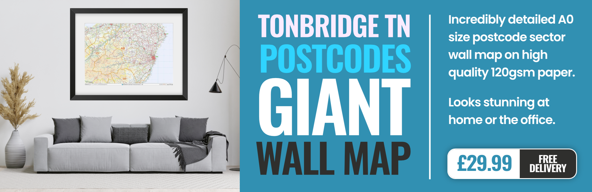
tonbridge TN11 Postcodes
Spending a fortune on conveyancing?

Compare instant, low-cost online quotes from trusted conveyancing solicitors.
Backed by experts, our no-obligation service searches through the best conveyancing quotes on the market to save you time and money.
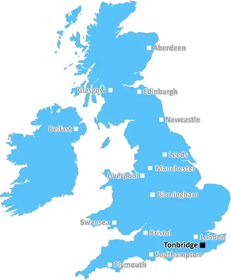
Tonbridge (TN11)
The TN11 postcode area is located in the Tonbridge postcode town region, within the county of Kent, and contains a total of 749 individual postcodes.
There are 74 electoral wards in the TN11 postcode area, including Ashford, Battle, Bexhill-On-Sea, Cranbrook, Crowborough, Edenbridge, Etchingham, Hartfield, Hastings, Heathfield, Mayfield, New Romney, Robertsbridge, Romney Marsh, Rye, Sevenoaks, St Leonards-On-Sea, Tenterden, Tonbridge, Tunbridge Wells, Uckfield, Wadhurst, Westerham, Winchelsea which come under the local authority of the Tonbridge and Malling Council.
Combining the whole postcode region, 35% of people in TN11 are classed as having an AB social grade, (i.e. 'white-collar' middle-upper class), compared to 27% across the UK.
This does not mean that the people of TN11 are wealthier - or higher class - than average, but it can be an indication that the area may be prospering and desirable to live in.
The TN11 postcode is located in Tonbridge, Kent, and covers the following areas: East Malling, Larkfield, Hadlow, Leigh, East Peckham, Golden Green, Capel, Yalding, Nettlestead, and Platt.
It is located within easy reach of London, and is home to a mix of tourism attractions, shopping venues, historical sites, and great outdoor activities. The area is surrounded by picturesque countryside, with the River Medway flowing through it. A great place for walkers and cyclists, it is home to the national parks of Kent Downs and High Weald, and is also home to a number of nature reserves such as Mote Park and Eden Valley.
When it comes to education, the Tonbridge district contains several great primary and secondary schools, as well as Tonbridge Grammar School. In the area, there is a selection of leisure and entertainment facilities, offering activities ranging from tennis and bowling to theatre days out. With its strong transport links to London, there are many business, retail, and recreational opportunities for residents.
If culture is your thing, you will be spoilt for choice - from a 12th century castle to the National Railway Museum, there is something to suit all interests and tastes. There are plenty of pubs, bars, restaurants, and cafes in the district, as well as music festivals, art galleries, and eateries serving local cuisine.
At the heart of Tonbridge lies Tonbridge Castle - a fortified manor house built in the 13th century. This is one of the oldest inhabited castles in Britain and is surrounded by a scenic moat. Transport links in the district are excellent, with great rail services connecting Tonbridge to London, including main-line services and high-speed services. There are also frequent bus services in the area.
This postcode also contains the world-famous Headcorn Aerodrome which is the oldest purpose-built aerodrome in existence. Many people come here to fly model planes or to take a plane ride in a vintage aircraft or helicopter.
The area is a great place to live - it has excellent transport links to the capital, beautiful countryside, plenty of recreational activities, and great education opportunities. It really is the perfect place to settle down and enjoy a peaceful life.

Demographics
Kent

TN11 is located in the county of Kent, in England.
Kent has a total population of 1,820,400, making it the 6th largest county in the UK.
Kent has a total area of 1443 square miles, and a population density of 486 people per square kilometre. For comparison, Greater London has a density of 5,618 people/km2.
| Outward Code | TN11 |
| Postal Town | Tonbridge |
| MSOA Name | Tonbridge and Malling 011 |
| LSOA Name | Tonbridge and Malling 011E |
| County | Kent |
| Region | Kent |
| Country | England |
| Local Authority | Tonbridge and Malling |
| Area Classification | Urban with Significant Rural (rural including hub towns 26-49%) |
TN11 Electoral Wards
The postal region of TN11, includes the local towns, villages, electoral wards and stations of:
Dig even deeper into the TN11 postcode by clicking on a postcode below:
Click on an outward postal code below for more information about the area. Each 'outward' postcode give you a comprehensive list of all postcodes within the outward code area (TN) and estimated address.
Click on an 'outward' code for more information. For example, the outward postcode page 'EC2M' will give you an alphabetical list covering all postcodes located in the region, from 'EC2M 1BB' through to 'EC2M 7YA'.
Chris H
Monday, April 8, 2024
We don't have any views of TN11 right now. If you live in TN11 or have visited it, please help us to help others by telling others what you think of this neighbourhood.
Add your view of TN11
People need your local expertise. If you live in TN11 or have first-hand knowledge of the neighbourhood, please consider sharing your views. It's completely anonymous - all we ask is for your initials.
Please tell us what you like about the TN11 postcode area, what you don't like, and what it's like to live or work here.
| LOCAL AMENITIES | |
| FAMILY FRIENDLY | |
| PARKING | |
| GREEN SPACES |
Local News Kent
Crawley's The Create Building lands British Airways Holidays as tenant
The company has signed a lease for the top floor of the nine-storey tower.
Property WeekMy daughter's nearly six and has never been to school'
A mother has shared her disgust over an ongoing 20-month wait to get her child, who has additional needs, a school place.
Kent OnlineYASA to move UK HQ to Bicester Motion Innovation Quarter
TheMercedes-Benz subsidiary will relocate its teams to the Bicester site in 2026
Property WeekMy Grand Designs collapse cost me 200k'
The architect of a home featured on Channel 4 hit Grand Designs has revealed how one blunder cost him £200,000.
Kent OnlineUK Space Agency primed for Harwell Campus landing
The government agency has taken around 10,500 sq ft of space in the Quad Two building.
Property WeekThis road is contender for worst in Kent'
Frustrated motorists say years of neglect has left a key route in a deplorable state, and believe the road could be the worst in the county.
Kent OnlineIt's meant to be a beautiful urban oasis but it's a polluted eyesore'
Fishing tackle, syringes, traffic cones, soiled underwear and drink bottles and cans were just some of the things found in a litter-strewn millpond.
Kent OnlineMilton Keynes seeks developer for 174-home scheme
The Milton Keynes site occupies 15.6 acres of land with an additional 7.2 acres of green space.
Property WeekFrom the Postcode Area blog

Deciphering Crime Rates - a Deep Dive Into UK Postcode Analysis
Ever wondered about the crime rate in your UK postcode? You're not alone. We've dug deep into the data, uncovering trends and patterns that'll make your head spin.

Death of the High Street?
The BBC reports that despite councils' attempts to kurb them, the UK's high streets have seen a huge growth in fast food outlets. Could this mark the death knell for the Great British high street, and what can we do about it to halt its decline?

Discrimination by Postcode
You really couldn't make it up, could you? Some of the country's most vulnerable people are missing out on their weekly £25 Cold Weather Payment, just because the system that's in operation is discriminating against them because payments are based on postcode, rather than geographic location.

The Redesign is Underway
Well, the current website was absolutely in dire need of a good redesign - from the ground up. So I set out to pull it all apart and get it up and running again to become the most comprehensive guide to every postcode in the UK. And it's been a long, tough job from start to finish - and quite possibly the biggest project I've ever undertaken.
SOCIAL GRADES
According to census records, 35% of people here have a social grade of AB (highest), compared to the national average of 27%.