stoke-on-trent ST13 Postcodes
Spending a fortune on conveyancing?

Compare instant, low-cost online quotes from trusted conveyancing solicitors.
Backed by experts, our no-obligation service searches through the best conveyancing quotes on the market to save you time and money.
Stoke On Trent (ST13)
The ST13 postcode area is located in the Stoke On Trent postcode town region, within the county of Staffordshire, and contains a total of 1124 individual postcodes.
There are 77 electoral wards in the ST13 postcode area, including Leek, Newcastle, Stafford, Stoke-On-Trent, Stone, Uttoxeter which come under the local authority of the Staffordshire Moorlands Council.
Combining the whole postcode region, 21% of people in ST13 are classed as having an AB social grade, (i.e. 'white-collar' middle-upper class), compared to 27% across the UK.
This does not mean that the people of ST13 are poorer than other areas, but it may give an indication that there are areas of deprivation.
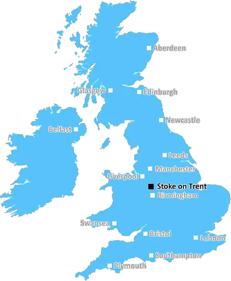
The ST13 postcode is located in the county of Staffordshire, in the West Midlands region of England. The postcode covers the villages and towns of Leek, stoke-on-trent and Biddulph.
Leek is a small market town known locally as the 'Queen of the Moorlands'. Leek has a thriving weekly Wednesday market, which is one of the largest markets in North Staffordshire. It has many independent shops in its centre and small industrial estates on the outskirts. It's surrounded by the beautiful rolling countryside of the Staffordshire Moorlands area.
Stoke-on-Trent is an urbanised city in north Staffordshire. It was historically known as the Potteries area due to its large pottery industry. It has some of the most iconic pottery pieces, including Wedgwood, Lisa Laura and Spode. The city is great for shopping, offering the award-winning Potteries Shopping Centre with over 170 stores, cafes and restaurants.
Biddulph is also part of the ST13 postcode area and is a small village located just outside Stoke-on-Trent. It features the remains of a 12th century Motte-and-bailey castle. Biddulph also boasts excellent facilities such as Biddulph Valley Visitor Centre, Biddulph Grange Gardens, Biddulph Recreation Centre and much more.
Public transport in the ST13 postcode includes the train station in Stoke-on-Trent with direct services to Manchester, Birmingham, Derby and Nottingham. There is also regular bus services operating throughout the area, as well as a number of up-to-date leisure and shopping venues including the Festival Park.
Residents of the ST13 postcode are served by several local primary and secondary schools. These schools include St Joseph's Catholic Primary School and St Anne's Catholic Primary School, as well as St Mary's Catholic High School for Girls and St Joseph's Catholic College for Boys.
This region is also served by Leek and Biddulph police station, as well as Leek and Biddulph fire station.
The climate in the ST13 postcode is temperate, with hot summers and cold wet winters.

Demographics

Staffordshire

ST13 is located in the county of Staffordshire, in England.
Staffordshire has a total population of 1,120,300, making it the 17th largest county in the UK.
Staffordshire has a total area of 1047 square miles, and a population density of 412 people per square kilometre. For comparison, Greater London has a density of 5,618 people/km2.
| Outward Code | ST13 |
| Postal Town | Stoke On Trent |
| MSOA Name | Staffordshire Moorlands 005 |
| LSOA Name | Staffordshire Moorlands 005A |
| County | Staffordshire |
| Region | Staffordshire |
| Country | England |
| Local Authority | Staffordshire Moorlands |
| Area Classification | Largely Rural (rural including hub towns 50-79%) |
ST13 Electoral Wards
The postal region of ST13, includes the local towns, villages, electoral wards and stations of:
Dig even deeper into the ST13 postcode by clicking on a postcode below:
Click on an outward postal code below for more information about the area. Each 'outward' postcode give you a comprehensive list of all postcodes within the outward code area (ST) and estimated address.
Click on an 'outward' code for more information. For example, the outward postcode page 'EC2M' will give you an alphabetical list covering all postcodes located in the region, from 'EC2M 1BB' through to 'EC2M 7YA'.
Chris H
Monday, April 8, 2024
We don't have any views of ST13 right now. If you live in ST13 or have visited it, please help us to help others by telling others what you think of this neighbourhood.
Add your view of ST13
People need your local expertise. If you live in ST13 or have first-hand knowledge of the neighbourhood, please consider sharing your views. It's completely anonymous - all we ask is for your initials.
Please tell us what you like about the ST13 postcode area, what you don't like, and what it's like to live or work here.
| LOCAL AMENITIES | |
| FAMILY FRIENDLY | |
| PARKING | |
| GREEN SPACES |
Local News Staffordshire
People urged to give the gift of independence this Mothers Day
This Mother's Day, Staffordshire County Council is urging people to explore a world of thoughtful and practical gift ideas, through its assistive technology campaign.
Staffordshire County CouncilBurton Library set to undergo 1.3m refurb with extensive improvements
A 1.3million package of improvements at Burton library will see the transformation of space for people of all ages and various community groups.
Staffordshire County CouncilStoke fight back to earn point against West Brom
Stoke City claim a crucial point as two second-half goals earn them a draw with promotion-chasing West Bromwich Albion.
BBC NewsTown centre transport improvement scheme moves to next phase
A regeneration project to improve roads and routes for cycling and walking in Cannock town centre moves to its final phase on Monday April 8.
Staffordshire County CouncilStrategy will help unpaid carers of all ages
A strategy to help unpaid carers of all ages across Staffordshire will be discussed by the county council's cabinet next week.
Staffordshire County CouncilThe price of feeding deer is dear, warns countryside officers
Feeding deer makes them vulnerable to disease, poaching and overpopulation, so rangers are urging country park users to buck the trend.
Staffordshire County CouncilFurniture restoration and manufacturing business cuts carbon and costs with backing of county council programme
An established furniture restoration and manufacturing company is making savings in the region of 35,000 annually and reducing its carbon footprint thanks to a county council programme.
Staffordshire County CouncilDriver handed court threat in row over 105 bus lane fine
Stoke-on-Trent City Council cameras caught Simon Ford, from Trentham, on College Road, in Shelton
Stoke SentinelFrom the Postcode Area blog

Deciphering Crime Rates - a Deep Dive Into UK Postcode Analysis
Ever wondered about the crime rate in your UK postcode? You're not alone. We've dug deep into the data, uncovering trends and patterns that'll make your head spin.

Death of the High Street?
The BBC reports that despite councils' attempts to kurb them, the UK's high streets have seen a huge growth in fast food outlets. Could this mark the death knell for the Great British high street, and what can we do about it to halt its decline?

Discrimination by Postcode
You really couldn't make it up, could you? Some of the country's most vulnerable people are missing out on their weekly £25 Cold Weather Payment, just because the system that's in operation is discriminating against them because payments are based on postcode, rather than geographic location.

The Redesign is Underway
Well, the current website was absolutely in dire need of a good redesign - from the ground up. So I set out to pull it all apart and get it up and running again to become the most comprehensive guide to every postcode in the UK. And it's been a long, tough job from start to finish - and quite possibly the biggest project I've ever undertaken.
SOCIAL GRADES
According to census records, 21% of people here have a social grade of AB (highest), compared to the national average of 27%.