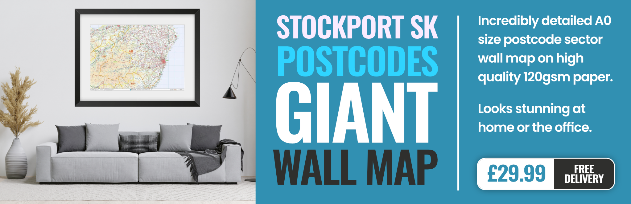
stockport SK23 Postcodes
Spending a fortune on conveyancing?

Compare instant, low-cost online quotes from trusted conveyancing solicitors.
Backed by experts, our no-obligation service searches through the best conveyancing quotes on the market to save you time and money.
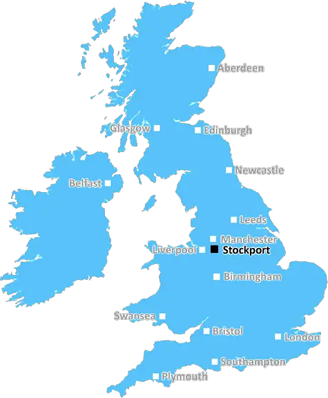
Stockport (SK23)
The SK23 postcode area is located in the Stockport postcode town region, within the county of Derbyshire, and contains a total of 695 individual postcodes.
There are 50 electoral wards in the SK23 postcode area, including Alderley Edge, Buxton, Cheadle, Dukinfield, Glossop, High Peak, Hyde, Macclesfield, Stalybridge, Stockport, Wilmslow which come under the local authority of the High Peak Council.
Combining the whole postcode region, 28% of people in SK23 are classed as having an AB social grade, (i.e. 'white-collar' middle-upper class), compared to 27% across the UK.
This does not mean that the people of SK23 are wealthier - or higher class - than average, but it can be an indication that the area may be prospering and desirable to live in.
SK23 is a postcode in the Stockport district of Cheshire, England. It primarily covers Rose Hill, Marple Bridge, Marple, High Lane, New Mills and Hayfield in the County of Cheshire.
SK23 is a rural area, consisting of mainly small villages and hamlets, such as Godsley, Hartford, Thorpe and Whaley Bridge. The central area is largely farmland and woodland, with small pockets of residential homes located around the outer edges.
The area is served by the West Midlands Trains (Marple station) and East Midlands Trains (Chinley station) rail services. The postcode of SK23 is the location of the Marple Lock Flight, which is part of the Cheshire ring, managed by the Canal & River Trust.
The Peak District National Park covers some areas within SK23, and has been designated as an area of Outstanding Natural Beauty. This National Park is well known for its scenic views and provides easy access to areas such as the White Peak, an area of limestone sedimentary rock formations.
Marple Bridge is a popular tourist destination as it provides opportunities to take part in leisure activities such as fishing, walking, cycling and horse-riding, as well as historic sites to explore.
The area is also known for its range of pubs, restaurants and cafes, some of which are within walking distance of the train station.
As a rather affluent area, SK23 has a number of private schools and grammar schools, located close to Marple Bridge and High Lane.
The Stockport Borough Council is the administrative body for SK23 and offers a range of services for residents, including health and social care, education and recreational activities.
SK23 is an area that provides a great quality of life to its residents, with its picturesque countryside and local amenities. It is easily accessible by both car and public transport and is a great place to live, work and visit.

Demographics
Derbyshire

SK23 is located in the county of Derbyshire, in England.
Derbyshire has a total population of 1,042,000, making it the 20th largest county in the UK.
Derbyshire has a total area of 1013 square miles, and a population density of 396 people per square kilometre. For comparison, Greater London has a density of 5,618 people/km2.
| Outward Code | SK23 |
| Postal Town | Stockport |
| MSOA Name | High Peak 013 |
| LSOA Name | High Peak 013E |
| County | Derbyshire |
| Region | Derbyshire |
| Country | England |
| Local Authority | High Peak |
| Area Classification | Largely Rural (rural including hub towns 50-79%) |
SK23 Electoral Wards
The postal region of SK23, includes the local towns, villages, electoral wards and stations of:
Dig even deeper into the SK23 postcode by clicking on a postcode below:
Click on an outward postal code below for more information about the area. Each 'outward' postcode give you a comprehensive list of all postcodes within the outward code area (SK) and estimated address.
Click on an 'outward' code for more information. For example, the outward postcode page 'EC2M' will give you an alphabetical list covering all postcodes located in the region, from 'EC2M 1BB' through to 'EC2M 7YA'.
Chris H
Saturday, April 6, 2024
We don't have any views of SK23 right now. If you live in SK23 or have visited it, please help us to help others by telling others what you think of this neighbourhood.
Add your view of SK23
People need your local expertise. If you live in SK23 or have first-hand knowledge of the neighbourhood, please consider sharing your views. It's completely anonymous - all we ask is for your initials.
Please tell us what you like about the SK23 postcode area, what you don't like, and what it's like to live or work here.
| LOCAL AMENITIES | |
| FAMILY FRIENDLY | |
| PARKING | |
| GREEN SPACES |
Local News Derbyshire
Plan for electric vehicles on Peak District railway
The rail vehicle plan is proposed to run on disused freight track from Buxton.
BBC News'Rarely busy' stunning beach just two hours away from Derby voted best in the region
The beach is described as an "unspoilt sandy beach backed by sand dunes"
Derby TelegraphDay one of County Championship season hit by rain
Day one of the County Championship season sees play abandoned at Derbyshire, Durham, Lancashire and Kent without a ball bowled.
BBC NewsPatel wants 'belief' & 'aggression' at Derbyshire
All-rounder Samit Patel wants to help bring greater belief to Derbyshire and promises an aggressive brand of cricket.
BBC News'Stuck living in the past' - Queen's Leisure Centre demolition row continues as readers wade in
The Queen's Leisure Centre in Derby is set to be demolished and replaced with a new swimming pool and leisure complex - but some people are not happy
Derby TelegraphCouncil considers future of children's centre
The Bolsover site is under scrutiny as the county council faces a multi-million pound deficit.
BBC NewsHuge manor house with formal gardens close to Derby city centre up for sale
Parts of the Old Rectory date back to the 1750s
Derby TelegraphCan Surrey be beaten as County Championship returns?
With the new County Championship season starting on Friday, can anyone prevent Surrey winning a third straight title?
BBC NewsFrom the Postcode Area blog

Deciphering Crime Rates - a Deep Dive Into UK Postcode Analysis
Ever wondered about the crime rate in your UK postcode? You're not alone. We've dug deep into the data, uncovering trends and patterns that'll make your head spin.

Death of the High Street?
The BBC reports that despite councils' attempts to kurb them, the UK's high streets have seen a huge growth in fast food outlets. Could this mark the death knell for the Great British high street, and what can we do about it to halt its decline?

Discrimination by Postcode
You really couldn't make it up, could you? Some of the country's most vulnerable people are missing out on their weekly £25 Cold Weather Payment, just because the system that's in operation is discriminating against them because payments are based on postcode, rather than geographic location.

The Redesign is Underway
Well, the current website was absolutely in dire need of a good redesign - from the ground up. So I set out to pull it all apart and get it up and running again to become the most comprehensive guide to every postcode in the UK. And it's been a long, tough job from start to finish - and quite possibly the biggest project I've ever undertaken.
SOCIAL GRADES
According to census records, 28% of people here have a social grade of AB (highest), compared to the national average of 27%.