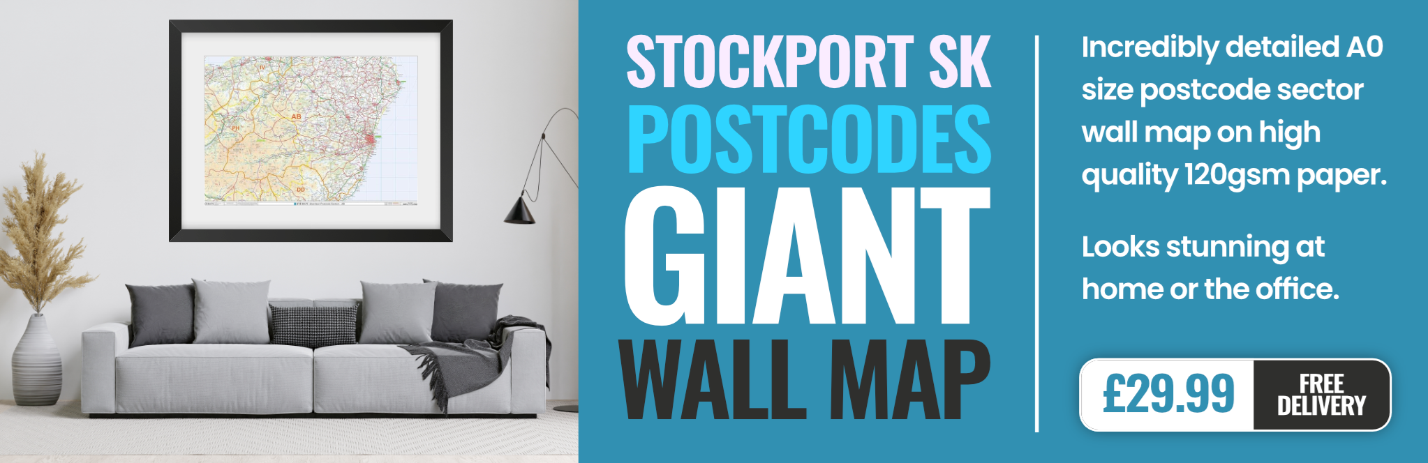
stockport SK15 Postcodes
Spending a fortune on conveyancing?

Compare instant, low-cost online quotes from trusted conveyancing solicitors.
Backed by experts, our no-obligation service searches through the best conveyancing quotes on the market to save you time and money.
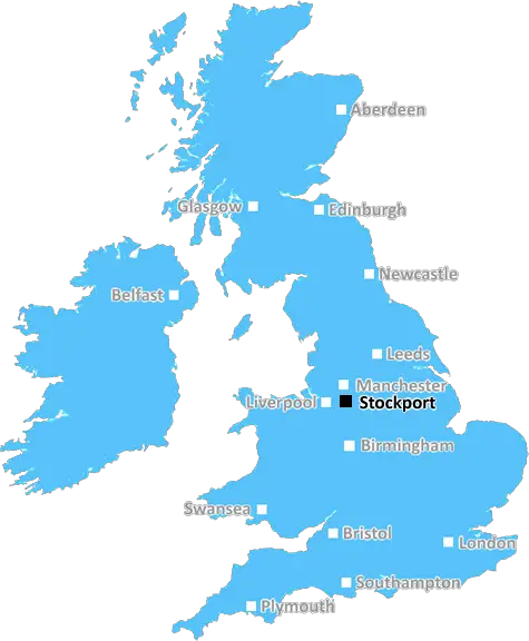
Stockport (SK15)
The SK15 postcode area is located in the Stockport postcode town region, within the county of Greater Manchester, and contains a total of 865 individual postcodes.
There are 24 electoral wards in the SK15 postcode area, including Alderley Edge, Buxton, Cheadle, Dukinfield, Glossop, High Peak, Hyde, Macclesfield, Stalybridge, Stockport, Wilmslow which come under the local authority of the Tameside Council.
Combining the whole postcode region, 18% of people in SK15 are classed as having an AB social grade, (i.e. 'white-collar' middle-upper class), compared to 27% across the UK.
This does not mean that the people of SK15 are poorer than other areas, but it may give an indication that there are areas of deprivation.
The SK15 postcode is located in and around the areas of Stalybridge, Carrbrook, Millbrook, Heyrod, Micklehurst, Mottram and Godley, in the Tameside borough of Greater Manchester, England. It covers an area of approximately 7.1 sq miles and, according to the 2011 Census, it had a population of 44,857.
The A635 is the main road running through the postcode area, linking Stalybridge, Carrbrook, Heyrod, Micklehurst and Mottram. The SK15 postcode area is also serviced by the Ashton-under-Lyne Metrolink station and frequent buses run throughout the area.
The postcode area has a rich history. Industrialisation of the area began in the mid-18th century, when the Bridgewater Canal, the Huddersfield Narrow Canal and the a rail line from Hyde Junction to stalyridge were built. There were over 15 collieries in the area a the Turn of the century , including : Hartshead, Woodend, Carbrook, Oldhams, Portwood and Godley collieries.
The local economy has now shifted to focus on retail and services in the area. There are a number of medical practices, a large health centre and several pharmacies. Several large supermarkets and retail parks are located in the area, as well as independent shops and businesses. There are also a number of civic centres in the postcode area, including St Peters Community Centre, the Patricroft Civic Centre and the Micklehurst Community Centre.
Leisure facilities in the SK15 postcode area are plentiful. Brookside Community Park is a large and popular park with numerous sports and play facilities, while Hopwood Hall College has impressive grounds which are used for outdoor activities. The area also has a number of museums and galleries, including the Mossley Mill Centre, the Oldham Arms Museum and the Uppermill Civic Hall.
For those looking to get out and explore, the postcode affords easy access to the Tameside Trailway, which runs from Manchester to Huddersfield. The South Pennines are also close by, providing a great day out. There are also numerous places of interest in the area, including The Riverside Museum and The National Trust's Lyme Park.

Demographics
Greater Manchester

SK15 is located in the county of Greater Manchester, in England.
Greater Manchester has a total population of 2,782,100, making it the 3rd largest county in the UK.
Greater Manchester has a total area of 492 square miles, and a population density of 2180 people per square kilometre. For comparison, Greater London has a density of 5,618 people/km2.
| Outward Code | SK15 |
| Postal Town | Stockport |
| MSOA Name | Tameside 009 |
| LSOA Name | Tameside 009B |
| County | Greater Manchester |
| Region | Greater Manchester |
| Country | England |
| Local Authority | Tameside |
| Area Classification | Urban with Major Conurbation |
SK15 Electoral Wards
The postal region of SK15, includes the local towns, villages, electoral wards and stations of:
Dig even deeper into the SK15 postcode by clicking on a postcode below:
Click on an outward postal code below for more information about the area. Each 'outward' postcode give you a comprehensive list of all postcodes within the outward code area (SK) and estimated address.
Click on an 'outward' code for more information. For example, the outward postcode page 'EC2M' will give you an alphabetical list covering all postcodes located in the region, from 'EC2M 1BB' through to 'EC2M 7YA'.
Chris H
Sunday, April 7, 2024
We don't have any views of SK15 right now. If you live in SK15 or have visited it, please help us to help others by telling others what you think of this neighbourhood.
Add your view of SK15
People need your local expertise. If you live in SK15 or have first-hand knowledge of the neighbourhood, please consider sharing your views. It's completely anonymous - all we ask is for your initials.
Please tell us what you like about the SK15 postcode area, what you don't like, and what it's like to live or work here.
| LOCAL AMENITIES | |
| FAMILY FRIENDLY | |
| PARKING | |
| GREEN SPACES |
From the Postcode Area blog

Deciphering Crime Rates - a Deep Dive Into UK Postcode Analysis
Ever wondered about the crime rate in your UK postcode? You're not alone. We've dug deep into the data, uncovering trends and patterns that'll make your head spin.

Death of the High Street?
The BBC reports that despite councils' attempts to kurb them, the UK's high streets have seen a huge growth in fast food outlets. Could this mark the death knell for the Great British high street, and what can we do about it to halt its decline?

Discrimination by Postcode
You really couldn't make it up, could you? Some of the country's most vulnerable people are missing out on their weekly £25 Cold Weather Payment, just because the system that's in operation is discriminating against them because payments are based on postcode, rather than geographic location.

The Redesign is Underway
Well, the current website was absolutely in dire need of a good redesign - from the ground up. So I set out to pull it all apart and get it up and running again to become the most comprehensive guide to every postcode in the UK. And it's been a long, tough job from start to finish - and quite possibly the biggest project I've ever undertaken.
SOCIAL GRADES
According to census records, 18% of people here have a social grade of AB (highest), compared to the national average of 27%.