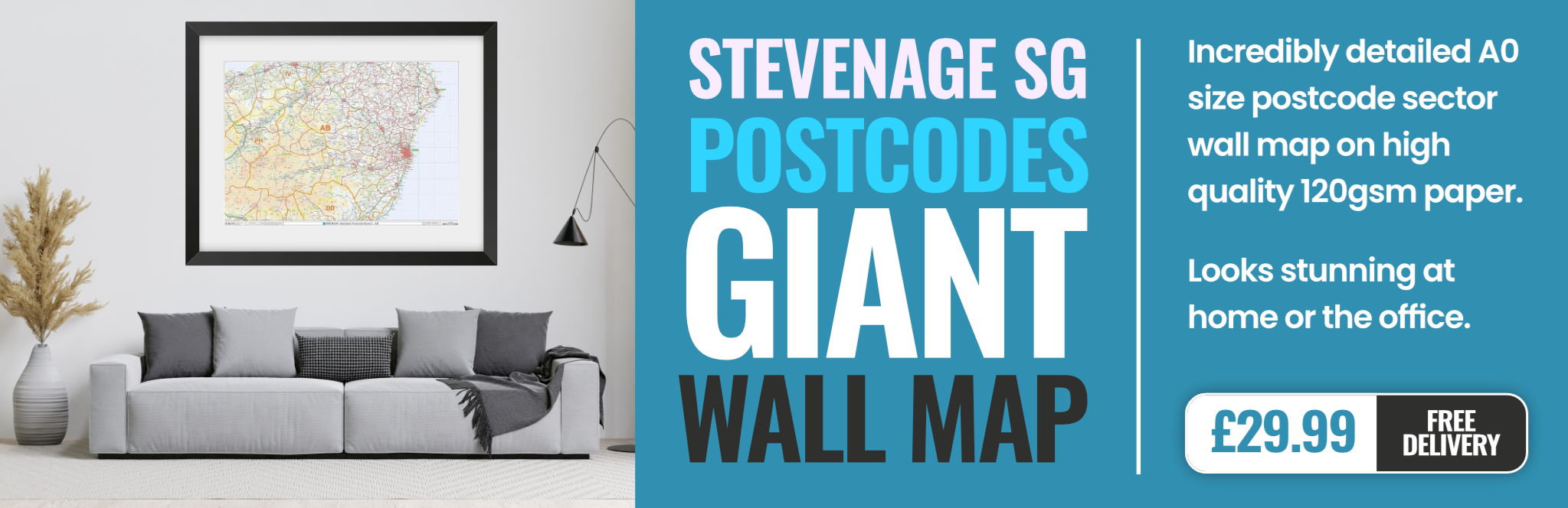
stevenage SG7 Postcodes
Spending a fortune on conveyancing?

Compare instant, low-cost online quotes from trusted conveyancing solicitors.
Backed by experts, our no-obligation service searches through the best conveyancing quotes on the market to save you time and money.
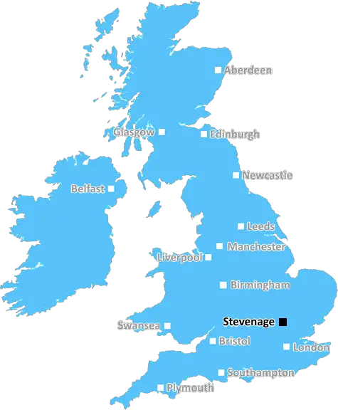
Stevenage (SG7)
The SG7 postcode area is located in the Stevenage postcode town region, within the county of Hertfordshire, and contains a total of 563 individual postcodes.
There are 31 electoral wards in the SG7 postcode area, including Arlesey, Baldock, Biggleswade, Buntingford, Henlow, Hertford, Hitchin, Knebworth, Letchworth Garden City, Much Hadham, Royston, Sandy, Shefford, Stevenage, Ware which come under the local authority of the Stevenage Council.
Combining the whole postcode region, 34% of people in SG7 are classed as having an AB social grade, (i.e. 'white-collar' middle-upper class), compared to 27% across the UK.
This does not mean that the people of SG7 are wealthier - or higher class - than average, but it can be an indication that the area may be prospering and desirable to live in.
SG7 is a postcode area in the Stevenage district of the English county of Hertfordshire. It covers the small villages of Buckland, Commonwood, Hall's Green, Pembridge, Rabley Heath, Wallington, Weston, Weston Hills and Whitwell, the hamlets of Chapmore End, Duston Hill, Stocks Green, Straws End and Horn's Green, and areas of the towns of Baldock, Letchworth Garden City and Stevenage.
The Stevenage district is a local government district and borough in Hertfordshire, located 15 miles (24km) from Central London, and is home to over 110,000 residents. It is made up of the towns of Stevenage, Baldock, Letchworth Garden City, Biggleswade, Hitchin, and the villages of Knebworth and Langley. Stevenage has a long history of settlement, going back to the Anglo-Saxon period, and has grown from a small village to a large town in recent years with a range of different services and amenities.
The SG7 postcode encompasses several suburbs to the north of Stevenage, including Panshanger, Broadwater, Hall's Green and Symonds Green. They are primarily residential areas, with some local shops, local businesses and industry. The area has great access to public transport, with regular trains from Stevenage station to London, Cambridge, Peterborough and Leeds.
The area around SG7 is famous for its ancient woodland which is part of the larger Ashridge estate. It features numerous areas of lowland heathland, as well as woodlands and wild flower meadows, which makes it ideal for walking and outdoor pursuits. The estate is also home to a variety of wildlife, including several rare species of bat, and should be respected to help protect them.
In terms of education, the area is served by several primary schools, including Barnwell School in Baldock, Highbury Schools In Panshanger, and Broadwater Primary School, as well as a range of secondary schools for those living in the Stevenage area. The area also offers a variety of leisure activities including the Stevenage Leisure Park which features a ten-pin bowling alley, several restaurants and a multiplex cinema. There are also several golf courses nearby, and a leisure centre in Panshanger.

Demographics
Hertfordshire

SG7 is located in the county of Hertfordshire, in England.
Hertfordshire has a total population of 1,176,700, making it the 12th largest county in the UK.
Hertfordshire has a total area of 634 square miles, and a population density of 716 people per square kilometre. For comparison, Greater London has a density of 5,618 people/km2.
| Outward Code | SG7 |
| Postal Town | Stevenage |
| MSOA Name | Stevenage 004 |
| LSOA Name | Stevenage 004A |
| County | Hertfordshire |
| Region | Hertfordshire |
| Country | England |
| Local Authority | Stevenage |
| Area Classification | Unclassified |
SG7 Electoral Wards
The postal region of SG7, includes the local towns, villages, electoral wards and stations of:
Dig even deeper into the SG7 postcode by clicking on a postcode below:
Click on an outward postal code below for more information about the area. Each 'outward' postcode give you a comprehensive list of all postcodes within the outward code area (SG) and estimated address.
Click on an 'outward' code for more information. For example, the outward postcode page 'EC2M' will give you an alphabetical list covering all postcodes located in the region, from 'EC2M 1BB' through to 'EC2M 7YA'.
Chris H
Monday, April 15, 2024
We don't have any views of SG7 right now. If you live in SG7 or have visited it, please help us to help others by telling others what you think of this neighbourhood.
Add your view of SG7
People need your local expertise. If you live in SG7 or have first-hand knowledge of the neighbourhood, please consider sharing your views. It's completely anonymous - all we ask is for your initials.
Please tell us what you like about the SG7 postcode area, what you don't like, and what it's like to live or work here.
| LOCAL AMENITIES | |
| FAMILY FRIENDLY | |
| PARKING | |
| GREEN SPACES |
Local News Hertfordshire
Saturday Night Takeaway: Warm-up man reveals all
Andy Collins has been working on Ant & Dec's show for its whole twenty-year history.
BBC NewsSmart motorways to get 52 new emergency areas
The 52 emergency areas will be safe places for drivers to stop on motorways with no hard shoulder.
BBC NewsCountdown: Bucks doctor gets racist comments
Dr Nighat Arif received vitriol on social media after appearing on the Channel 4 show.
BBC NewsElection row over 'genocide' leaflet claims
Labour candidate John Tizard is asking Waheed Akbar to withdraw a campaign leaflet.
BBC NewsWhen are the May local elections, and who can vote?
Voters in parts of England and Wales will elect councillors, mayors and police commissioners in May.
BBC NewsHunting The Fox: A detective remembers
David Toes was 26 when he investigated the string of burglaries and sex attacks in 1984.
BBC NewsPolice destroy cannabis factory at empty property
Officers discover 480 plants with an approximate value of over 250,000.
BBC NewsLost his sight in two weeks, now to run a marathon
Shadat Khan from Milton Keynes is running the London event with his guide, Lorrie Adams.
BBC NewsFrom the Postcode Area blog

Deciphering Crime Rates - a Deep Dive Into UK Postcode Analysis
Ever wondered about the crime rate in your UK postcode? You're not alone. We've dug deep into the data, uncovering trends and patterns that'll make your head spin.

Death of the High Street?
The BBC reports that despite councils' attempts to kurb them, the UK's high streets have seen a huge growth in fast food outlets. Could this mark the death knell for the Great British high street, and what can we do about it to halt its decline?

Discrimination by Postcode
You really couldn't make it up, could you? Some of the country's most vulnerable people are missing out on their weekly £25 Cold Weather Payment, just because the system that's in operation is discriminating against them because payments are based on postcode, rather than geographic location.

The Redesign is Underway
Well, the current website was absolutely in dire need of a good redesign - from the ground up. So I set out to pull it all apart and get it up and running again to become the most comprehensive guide to every postcode in the UK. And it's been a long, tough job from start to finish - and quite possibly the biggest project I've ever undertaken.
SOCIAL GRADES
According to census records, 34% of people here have a social grade of AB (highest), compared to the national average of 27%.