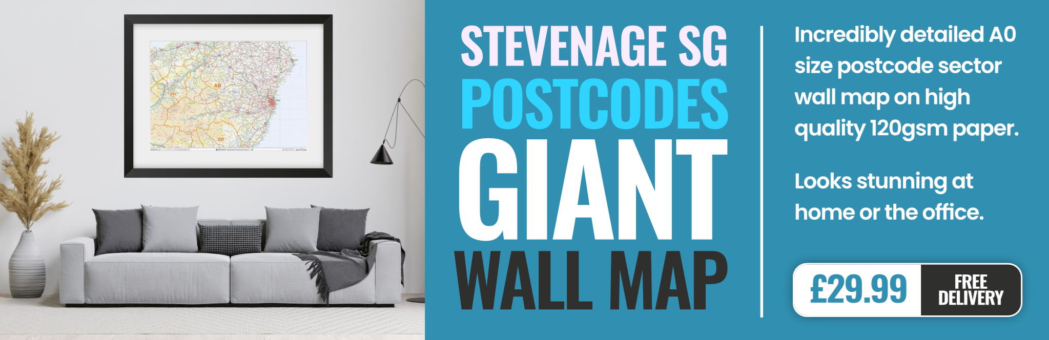
stevenage SG13 Postcodes
Spending a fortune on conveyancing?

Compare instant, low-cost online quotes from trusted conveyancing solicitors.
Backed by experts, our no-obligation service searches through the best conveyancing quotes on the market to save you time and money.
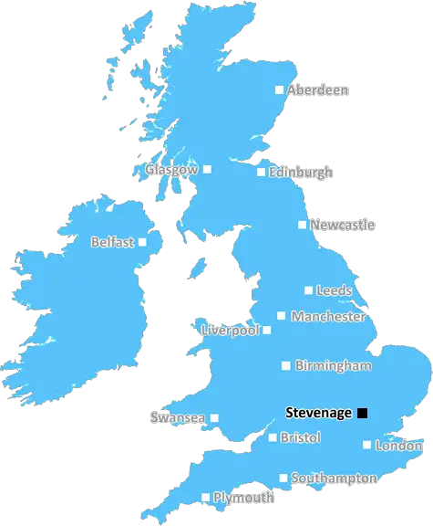
Stevenage (SG13)
The SG13 postcode area is located in the Stevenage postcode town region, within the county of Hertfordshire, and contains a total of 866 individual postcodes.
There are 24 electoral wards in the SG13 postcode area, including Arlesey, Baldock, Biggleswade, Buntingford, Henlow, Hertford, Hitchin, Knebworth, Letchworth Garden City, Much Hadham, Royston, Sandy, Shefford, Stevenage, Ware which come under the local authority of the East Hertfordshire Council.
Combining the whole postcode region, 37% of people in SG13 are classed as having an AB social grade, (i.e. 'white-collar' middle-upper class), compared to 27% across the UK.
This does not mean that the people of SG13 are wealthier - or higher class - than average, but it can be an indication that the area may be prospering and desirable to live in.
The SG13 postcode district is located in the Stevenage area, within Hertfordshire, England in the UK. It approximately covers the town centre and most of the residential areas of Old Town, Bedwell, Symonds Green, Pin Green, Town Centre, Roestock and the large residential area of Stevenage New Town.
The postcode district mainly covers the area around Stevenage, lying to the north of the M25 motorway and to the south of the M1 motorway and is located close to other towns in the area such as Hatfield, Welwyn Garden City, Baldock, Knebworth and Letchworth Garden City. It is also located close to popular attractions around Stevenage, such as the Knebworth House and Gardens and Fairlands Valley Park.
At the centre of the postcode district is a bustling market town with a variety of shops, restaurants, bars, caf�s, and a theatre. There is also an award-winning leisure park, based in Stevenage, offering a cinema, indoor and outdoor bowling, a climbing wall, mini golf, an indoor go-karting track, and a range of other activities.
The area is served by excellent transport links including Stevenage train station, which is only a short walk from the centre of the town. It is located on the East Coast Main Line running from London Kings Cross to Stevenage, Cambridge, Peterborough, and Leeds. The station provides direct links to and from London. There is also easy access to Luton and Stansted airports, with the M25 motorway closeby.
The SG13 postcode is home to various schools, including primary, secondary, and international schools. There are also two special schools and a further education college located within the postcode area. Additionally, there are healthcare services including GP surgeries and a walk-in centre, as well as frequent bus services from Stevenage to the nearby towns and villages.
Stevenage New Town, sitting within the postcode district, is marked by the distinctive style of modernist architecture, with its iconic roundabouts of overlapping concentric circles. This area has seen rapid development over recent decades, with many new housing buildings and leisure facilities offering massive regeneration in the area.

Demographics
Hertfordshire

SG13 is located in the county of Hertfordshire, in England.
Hertfordshire has a total population of 1,176,700, making it the 12th largest county in the UK.
Hertfordshire has a total area of 634 square miles, and a population density of 716 people per square kilometre. For comparison, Greater London has a density of 5,618 people/km2.
| Outward Code | SG13 |
| Postal Town | Stevenage |
| MSOA Name | East Hertfordshire 018 |
| LSOA Name | East Hertfordshire 018A |
| County | Hertfordshire |
| Region | Hertfordshire |
| Country | England |
| Local Authority | East Hertfordshire |
| Area Classification | Unclassified |
SG13 Electoral Wards
The postal region of SG13, includes the local towns, villages, electoral wards and stations of:
Dig even deeper into the SG13 postcode by clicking on a postcode below:
Click on an outward postal code below for more information about the area. Each 'outward' postcode give you a comprehensive list of all postcodes within the outward code area (SG) and estimated address.
Click on an 'outward' code for more information. For example, the outward postcode page 'EC2M' will give you an alphabetical list covering all postcodes located in the region, from 'EC2M 1BB' through to 'EC2M 7YA'.
Chris H
Monday, April 15, 2024
We don't have any views of SG13 right now. If you live in SG13 or have visited it, please help us to help others by telling others what you think of this neighbourhood.
Add your view of SG13
People need your local expertise. If you live in SG13 or have first-hand knowledge of the neighbourhood, please consider sharing your views. It's completely anonymous - all we ask is for your initials.
Please tell us what you like about the SG13 postcode area, what you don't like, and what it's like to live or work here.
| LOCAL AMENITIES | |
| FAMILY FRIENDLY | |
| PARKING | |
| GREEN SPACES |
Local News Hertfordshire
Southampton score late winner to beat Watford
Flynn Downes' goal in the final seconds gives Southampton victory over Watford and keeps them in with a chance of automatic promotion.
BBC NewsLuton Town video shows racism aimed at players
Club staff left angry and upset after being shown some of the online abuse directed at footballers
BBC NewsGiant solar project plans blocked by government
A minister says the development may harm the landscape, including a nearby castle.
BBC NewsTwo injured in shooting at travellers' site
A man in his 20s and another man in his 30s are being treated in hospital.
BBC NewsElection row over 'genocide' leaflet claims
Labour candidate John Tizard is asking Waheed Akbar to withdraw a campaign leaflet.
BBC News'Wanderlust' cat safely brought home by police
Pixie, 15, is an adventurous old lady who is "very street smart" and loves fuss, her owner says.
BBC NewsWhen are the May local elections, and who can vote?
Voters in parts of England and Wales will elect councillors, mayors and police commissioners in May.
BBC NewsSmart motorways to get 52 new emergency areas
The 52 emergency areas will be safe places for drivers to stop on motorways with no hard shoulder.
BBC NewsFrom the Postcode Area blog

Deciphering Crime Rates - a Deep Dive Into UK Postcode Analysis
Ever wondered about the crime rate in your UK postcode? You're not alone. We've dug deep into the data, uncovering trends and patterns that'll make your head spin.

Death of the High Street?
The BBC reports that despite councils' attempts to kurb them, the UK's high streets have seen a huge growth in fast food outlets. Could this mark the death knell for the Great British high street, and what can we do about it to halt its decline?

Discrimination by Postcode
You really couldn't make it up, could you? Some of the country's most vulnerable people are missing out on their weekly £25 Cold Weather Payment, just because the system that's in operation is discriminating against them because payments are based on postcode, rather than geographic location.

The Redesign is Underway
Well, the current website was absolutely in dire need of a good redesign - from the ground up. So I set out to pull it all apart and get it up and running again to become the most comprehensive guide to every postcode in the UK. And it's been a long, tough job from start to finish - and quite possibly the biggest project I've ever undertaken.
SOCIAL GRADES
According to census records, 37% of people here have a social grade of AB (highest), compared to the national average of 27%.