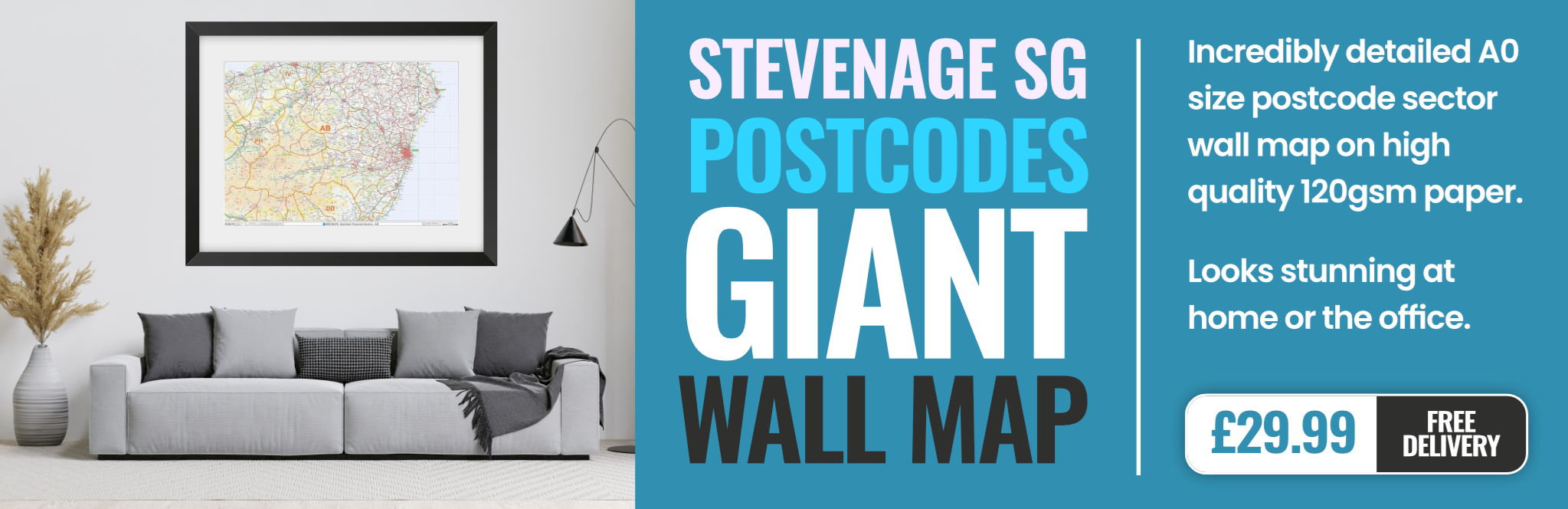
stevenage SG10 Postcodes
Spending a fortune on conveyancing?

Compare instant, low-cost online quotes from trusted conveyancing solicitors.
Backed by experts, our no-obligation service searches through the best conveyancing quotes on the market to save you time and money.
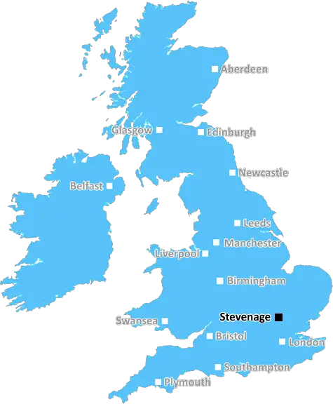
Stevenage (SG10)
The SG10 postcode area is located in the Stevenage postcode town region, within the county of Hertfordshire, and contains a total of 132 individual postcodes.
There are 18 electoral wards in the SG10 postcode area, including Arlesey, Baldock, Biggleswade, Buntingford, Henlow, Hertford, Hitchin, Knebworth, Letchworth Garden City, Much Hadham, Royston, Sandy, Shefford, Stevenage, Ware which come under the local authority of the East Hertfordshire Council.
Combining the whole postcode region, 34% of people in SG10 are classed as having an AB social grade, (i.e. 'white-collar' middle-upper class), compared to 27% across the UK.
This does not mean that the people of SG10 are wealthier - or higher class - than average, but it can be an indication that the area may be prospering and desirable to live in.
SG10 is a postcode district located in the Stevenage district of England. It covers the western parts of the town, and runs from Stevenage New Town to the border with Hertfordshire. It is bordered by the SG4 postcode district to the north, and the SG9 postcode district to the south.
The SG10 postcode district includes Stevenage Old Town, the historic heart of the area, and its associated conservation area and green open spaces. It also includes some of the more residential parts of the town, such as Haldens, Old Town and Fairlands.
The SG10 postcode district is home to a variety of amenities including pubs, restaurants, shops, parks and schools. It is also home to a number of popular tourist attractions such as Fairlands Valley Park, the Stevenage Museum, Roaring Meg Retail Park and Knebworth House.
Stevenage railway station is located within the SG10 postcode district and is an important station on the East Coast Main Line. It provides regular services to London Kings Cross, as well as a range of other destinations across the UK.
The SG10 postcode district also includes the Stevenage Industrial Estate, which contains a range of light industrial and warehousing facilities. It is also home to two business parks; Redwoods Business Park and the Six Hills Business Park.
The SG10 postcode district includes a diverse range of housing, ranging from modern terraced housing to more affordable starter homes and retirement villages. There are also a number of retirement communities located within the postcode district, such as Fairlands Valley Retirement Village and Knebworth Court Retirement Village.
SG10 postcode district is situated in the Stevenage district and includes a range of residential and commercial amenities, as well as a number of popular tourist attractions. It is also home to an important railway station, the Stevenage Industrial Estate, two business parks and a range of diverse housing.

Demographics
Hertfordshire

SG10 is located in the county of Hertfordshire, in England.
Hertfordshire has a total population of 1,176,700, making it the 12th largest county in the UK.
Hertfordshire has a total area of 634 square miles, and a population density of 716 people per square kilometre. For comparison, Greater London has a density of 5,618 people/km2.
| Outward Code | SG10 |
| Postal Town | Stevenage |
| MSOA Name | East Hertfordshire 009 |
| LSOA Name | East Hertfordshire 009D |
| County | Hertfordshire |
| Region | Hertfordshire |
| Country | England |
| Local Authority | East Hertfordshire |
| Area Classification | Unclassified |
SG10 Electoral Wards
The postal region of SG10, includes the local towns, villages, electoral wards and stations of:
Dig even deeper into the SG10 postcode by clicking on a postcode below:
Click on an outward postal code below for more information about the area. Each 'outward' postcode give you a comprehensive list of all postcodes within the outward code area (SG) and estimated address.
Click on an 'outward' code for more information. For example, the outward postcode page 'EC2M' will give you an alphabetical list covering all postcodes located in the region, from 'EC2M 1BB' through to 'EC2M 7YA'.
TJ, Stevenage
Thursday, September 21, 2023
Your description has confused SG1 and SG10. I live in SG1 and whereas SG1 covers the west part of Stevenage as you describe above, SG10 is to the east of Stevenage around Much Hadham. You have the electoral ward right. Look up the post codes on a map app.
Add your view of SG10
People need your local expertise. If you live in SG10 or have first-hand knowledge of the neighbourhood, please consider sharing your views. It's completely anonymous - all we ask is for your initials.
Please tell us what you like about the SG10 postcode area, what you don't like, and what it's like to live or work here.
| LOCAL AMENITIES | |
| FAMILY FRIENDLY | |
| PARKING | |
| GREEN SPACES |
Local News Hertfordshire
Southampton score late winner to beat Watford
Flynn Downes' goal in the final seconds gives Southampton victory over Watford and keeps them in with a chance of automatic promotion.
BBC News'Losing part of a lung hasn't stopped my ambitions'
A businesswoman says she was "a single mum" and "scared" when a melon-sized tumour was found in her.
BBC NewsStevenage 1-2 Burton Albion
Tom Hamer scores the vital goal in a 2-1 victory against 10-man Stevenage to move Burton three points clear of relegation.
BBC NewsThe reading rabbit who calms children
Winter the rabbit helps children to read at Animal Edge Farm in Millbrook.
BBC NewsRochdale 0-0 Boreham Wood
Live coverage of Tuesday's National League game between Rochdale and Boreham Wood.
BBC News'Universal is fantastic if we get infrastructure'
People who live near a site which could become a movie-themed resort share their hopes and concerns.
BBC NewsPort Vale 1-2 Wycombe Wanderers
Live coverage of Tuesday's League One game between Port Vale and Wycombe Wanderers.
BBC NewsPet cat 'on a mission to keep Britain clean'
Stevenage cat Tofu brings home rubbish he finds elsewhere as "gifts" for his owner.
BBC NewsFrom the Postcode Area blog

Deciphering Crime Rates - a Deep Dive Into UK Postcode Analysis
Ever wondered about the crime rate in your UK postcode? You're not alone. We've dug deep into the data, uncovering trends and patterns that'll make your head spin.

Death of the High Street?
The BBC reports that despite councils' attempts to kurb them, the UK's high streets have seen a huge growth in fast food outlets. Could this mark the death knell for the Great British high street, and what can we do about it to halt its decline?

Discrimination by Postcode
You really couldn't make it up, could you? Some of the country's most vulnerable people are missing out on their weekly £25 Cold Weather Payment, just because the system that's in operation is discriminating against them because payments are based on postcode, rather than geographic location.

The Redesign is Underway
Well, the current website was absolutely in dire need of a good redesign - from the ground up. So I set out to pull it all apart and get it up and running again to become the most comprehensive guide to every postcode in the UK. And it's been a long, tough job from start to finish - and quite possibly the biggest project I've ever undertaken.
SOCIAL GRADES
According to census records, 34% of people here have a social grade of AB (highest), compared to the national average of 27%.