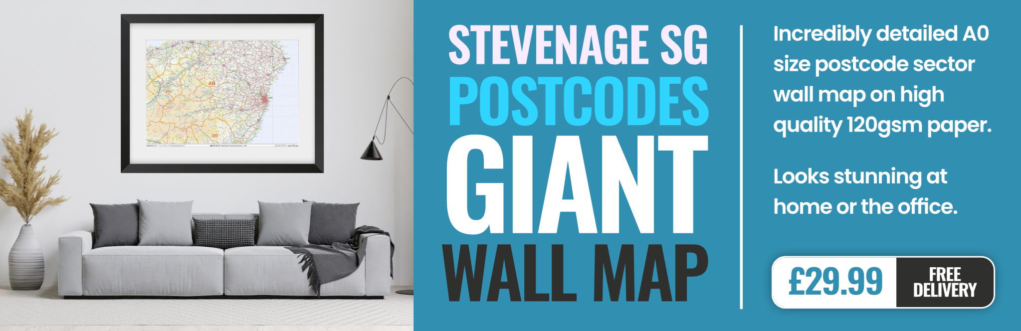
stevenage SG1 Postcodes
Spending a fortune on conveyancing?

Compare instant, low-cost online quotes from trusted conveyancing solicitors.
Backed by experts, our no-obligation service searches through the best conveyancing quotes on the market to save you time and money.
Stevenage (SG1)
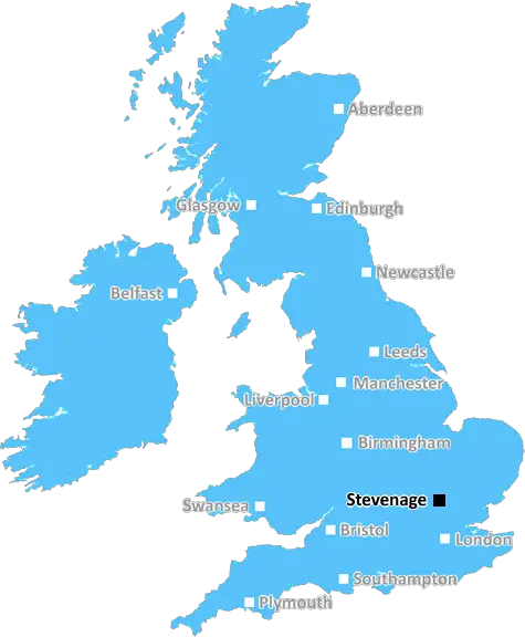
The SG1 postcode area is located in the Stevenage postcode town region, within the county of Hertfordshire, and contains a total of 1884 individual postcodes.
There are 15 electoral wards in the SG1 postcode area, including Arlesey, Baldock, Biggleswade, Buntingford, Henlow, Hertford, Hitchin, Knebworth, Letchworth Garden City, Much Hadham, Royston, Sandy, Shefford, Stevenage, Ware which come under the local authority of the Stevenage Council.
Combining the whole postcode region, 22% of people in SG1 are classed as having an AB social grade, (i.e. 'white-collar' middle-upper class), compared to 27% across the UK.
This does not mean that the people of SG1 are poorer than other areas, but it may give an indication that there are areas of deprivation.
The SG1 postcode is a postcode area in the Stevenage district of Hertfordshire, England. It covers the western and eastern parts of Stevenage itself and a number of small villages in the surrounding area, including Standon, Cottered, Ardeley, Wallington and Watton-at-Stone.
SG1 postcode is part of the Stevenage outcode, which has the primary code SG, and is around 17 miles (27km) north of London. It is a popular area for commuters, as it is about 30 minutes away from London via the Great Northern Line that runs through the area.
SG1 is split into two parts, SG1 1, covering parts of the western part of Stevenage and SG1 2, covering the eastern part.
SG1 1 includes properties in the old and new town of Stevenage, as well as St. Nicholas, Martins Wood, Buntingford, Lemsford, King's Reach, Chells, Bragbury End and country properties in Watton-at-Stone, Standon, Nursery Hill and Wallington.
SG1 2 includes properties in the Bedwell and Symonds Green areas of Stevenage, Old Town, Bedwell Neighbourhood Centre, Woodhall, Mobbsbury, Shephall, Chells Manor, Manor Court, St. John's and Fairlands.
SG1 postcode area contains a mixture of residential and commercial properties, including industrial and retail premises, as well as other businesses. It also contains a number of schools, such as Stevenage Berkhampstead School, Plashwood Primary School, Peartree Primary School and St George's School.
As well as this, the SG1 postcode area includes areas of parkland, such as Fairlands Valley Park, which contains a lake, nature reserve, skatepark, boating lake and two golf courses, and Datchworth Green, a large village green housing a variety of sports pitches and playing fields.
In terms of leisure activities, the area also contains a variety of bars, pubs, restaurants and cafes, such as The Emperor, The Bull, The Steam Coach, Casio Lounge and Regent Bar & Grill; not to mention other attractions, such as Stevenage Leisure Park, which contains a ten-screen cinema, ten-pin bowling alley and a range of restaurants.

Demographics
Hertfordshire

SG1 is located in the county of Hertfordshire, in England.
Hertfordshire has a total population of 1,176,700, making it the 12th largest county in the UK.
Hertfordshire has a total area of 634 square miles, and a population density of 716 people per square kilometre. For comparison, Greater London has a density of 5,618 people/km2.
| Outward Code | SG1 |
| Postal Town | Stevenage |
| MSOA Name | Stevenage 011 |
| LSOA Name | Stevenage 011D |
| County | Hertfordshire |
| Region | Hertfordshire |
| Country | England |
| Local Authority | Stevenage |
| Area Classification | Unclassified |
SG1 Electoral Wards
The postal region of SG1, includes the local towns, villages, electoral wards and stations of:
Dig even deeper into the SG1 postcode by clicking on a postcode below:
Click on an outward postal code below for more information about the area. Each 'outward' postcode give you a comprehensive list of all postcodes within the outward code area (SG) and estimated address.
Click on an 'outward' code for more information. For example, the outward postcode page 'EC2M' will give you an alphabetical list covering all postcodes located in the region, from 'EC2M 1BB' through to 'EC2M 7YA'.
FG, Stevenage
Wednesday, October 4, 2023
Very practical for train and buses, now sole area of Stevenage with a large Boots and a Post office on the Forum. As a non-driver, the area is perfect for me however it is difficult and expensive to park near the Forum. As a woman, I don’t go out once dark settles in although late returns from work in the recent past have not worried me unduly. Tesco Extra is super efficient and reliably stocked but pricier than other supermarkets, all accessible by car or bus. The recent departure of Iceland, closure of Wilko have left the Forum wanting. BHS that closed years ago is still standing empty, which isn’t a good predictor for Wilko in particular. Lots of well stocked charities both on Forum and in Old Town. SG1 seems to be populated by young (30-40) professionals.
Add your view of SG1
People need your local expertise. If you live in SG1 or have first-hand knowledge of the neighbourhood, please consider sharing your views. It's completely anonymous - all we ask is for your initials.
Please tell us what you like about the SG1 postcode area, what you don't like, and what it's like to live or work here.
| LOCAL AMENITIES | |
| FAMILY FRIENDLY | |
| PARKING | |
| GREEN SPACES |
Local News Hertfordshire
Paul McGann remembers Withnail in Stony Stratford
The actor also talks about the specially-made replica of his Doctor Who costume.
BBC NewsJust forgotten': The adults who can't read
Sue Warden is Coordinator at Readeasy in Milton Keynes which helps adults with literacy.
BBC NewsRamadan runner raises charity cash while fasting
Bilal Hussain says his body feels broken but he has had so much support from the community.
BBC News99 for a private ambulance in Hertfordshire
MET Medical has launched the service for St Albans, Harpenden, Hatfield and Welwyn.
BBC NewsBedfordshire's police commissioner candidates
Meet the candidates preparing for the election in May.
BBC NewsBurglars targeted' Bedfordshire drama group
But the show must go on, says Barton Players secretary Keith Badham.
BBC NewsA huge victory' - Morris' 90th-minute goal lifts Luton
Carlton Morris' late winner boosts Luton's Premier League survival hopes as they come from behind to beat Bournemouth.
BBC NewsHertfordshire's police commissioner candidates
The county is guaranteed a new commissioner as incumbent David Lloyd is standing down.
BBC NewsFrom the Postcode Area blog

Deciphering Crime Rates - a Deep Dive Into UK Postcode Analysis
Ever wondered about the crime rate in your UK postcode? You're not alone. We've dug deep into the data, uncovering trends and patterns that'll make your head spin.

Death of the High Street?
The BBC reports that despite councils' attempts to kurb them, the UK's high streets have seen a huge growth in fast food outlets. Could this mark the death knell for the Great British high street, and what can we do about it to halt its decline?

Discrimination by Postcode
You really couldn't make it up, could you? Some of the country's most vulnerable people are missing out on their weekly £25 Cold Weather Payment, just because the system that's in operation is discriminating against them because payments are based on postcode, rather than geographic location.

The Redesign is Underway
Well, the current website was absolutely in dire need of a good redesign - from the ground up. So I set out to pull it all apart and get it up and running again to become the most comprehensive guide to every postcode in the UK. And it's been a long, tough job from start to finish - and quite possibly the biggest project I've ever undertaken.
SOCIAL GRADES
According to census records, 22% of people here have a social grade of AB (highest), compared to the national average of 27%.