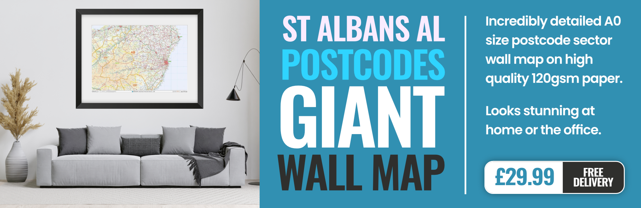
st.-albans AL6 Postcodes
Spending a fortune on conveyancing?

Compare instant, low-cost online quotes from trusted conveyancing solicitors.
Backed by experts, our no-obligation service searches through the best conveyancing quotes on the market to save you time and money.
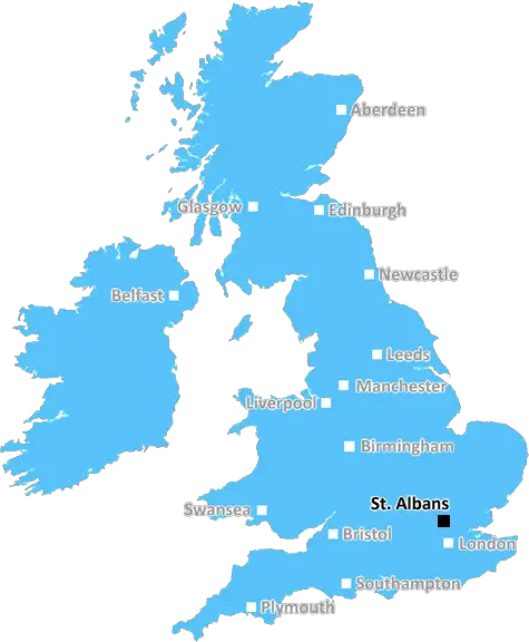
St. Albans (AL6)
The AL6 postcode area is located in the St. Albans postcode town region, within the county of Hertfordshire, and contains a total of 643 individual postcodes.
There are 31 electoral wards in the AL6 postcode area, including Harpenden, Hatfield, St Albans, Welwyn, Welwyn Garden City which come under the local authority of the East Hertfordshire Council.
Combining the whole postcode region, 43% of people in AL6 are classed as having an AB social grade, (i.e. 'white-collar' middle-upper class), compared to 27% across the UK.
This does not mean that the people of AL6 are wealthier - or higher class - than average, but it can be an indication that the area may be prospering and desirable to live in.
The AL6 postcode is located in the St. Albans district of Hertfordshire, England. It is part of the Hertsmere postcode area and has a postal district of AL. Areas included within the AL6 postcode include the villages of Oaklands, Bricket Wood, Park Street, South Mimms, and London Colney. The nearest large town is Watford.
Oaklands was the first village within the postcode, established in 1086. It is a residential area, home to many older and larger houses and a primary school. It is a very small village, with the village green surrounded by historic buildings, old almshouses, St. Margaret's Church and a village hall.
Bricket Wood is a small village surrounded by ancient woodland. It contains small, independent shops, studios, and workshops, and is home to a monthly farmers' market. It is also home to a Victorian school house. In recent years the village has become more popular as a residential area with a number of new builds and conversions.
Park Street is located south of St Albans and has an interesting mix of modern housing developments and older, traditional homes. Its main attractions include St Thomas' Church, the Parish Hall, community allotments, green gardens, and a playground.
South Mimms is located to the north of St Albans and is home to a range of attractive villages and local attractions, such as the South Mimms golf course, South Mimms National Nature Reserve, and the South Mimms Country Park. It has access to many of the major motorways in the area, including the M25 and A1.
London Colney is a village located north of St Albans and along the River Colne. It has a mix of styles of housing and is a popular choice for commuters. It is home to the Colney Heath Heritage Trail, which features a large lake and 17th century cottage. It also has a park, which contains a playground and cricket pitch.
TheAL6 postcode is located in the St. Albans district of Hertfordshire and includes the villages of Oaklands, Bricket Wood, Park Street, South Mimms and London Colney all with their own unique attractions. It forms a popular choice for commuters, with easy access to many of the local motorways.

Demographics
Hertfordshire

AL6 is located in the county of Hertfordshire, in England.
Hertfordshire has a total population of 1,176,700, making it the 12th largest county in the UK.
Hertfordshire has a total area of 634 square miles, and a population density of 716 people per square kilometre. For comparison, Greater London has a density of 5,618 people/km2.
| Outward Code | AL6 |
| Postal Town | St. Albans |
| MSOA Name | East Hertfordshire 010 |
| LSOA Name | East Hertfordshire 010B |
| County | Hertfordshire |
| Region | Hertfordshire |
| Country | England |
| Local Authority | East Hertfordshire |
| Area Classification | Unclassified |
AL6 Electoral Wards
The postal region of AL6, includes the local towns, villages, electoral wards and stations of:
Dig even deeper into the AL6 postcode by clicking on a postcode below:
Click on an outward postal code below for more information about the area. Each 'outward' postcode give you a comprehensive list of all postcodes within the outward code area (AL) and estimated address.
Click on an 'outward' code for more information. For example, the outward postcode page 'EC2M' will give you an alphabetical list covering all postcodes located in the region, from 'EC2M 1BB' through to 'EC2M 7YA'.
Chris H
Tuesday, April 9, 2024
We don't have any views of AL6 right now. If you live in AL6 or have visited it, please help us to help others by telling others what you think of this neighbourhood.
Add your view of AL6
People need your local expertise. If you live in AL6 or have first-hand knowledge of the neighbourhood, please consider sharing your views. It's completely anonymous - all we ask is for your initials.
Please tell us what you like about the AL6 postcode area, what you don't like, and what it's like to live or work here.
| LOCAL AMENITIES | |
| FAMILY FRIENDLY | |
| PARKING | |
| GREEN SPACES |
Local News Hertfordshire
Telegraph pole falls and blocks road after car crash
Police close the road so BT workers can help to restore the fallen infrastructure.
BBC NewsHertfordshire's police commissioner candidates
The county is guaranteed a new commissioner as incumbent David Lloyd is standing down.
BBC NewsAsylum seeker demands explanation for ankle tag
A 38-year-old migrant wants to know why his electronic tag has not been removed.
BBC NewsJust forgotten': The adults who can't read
Sue Warden is Coordinator at Readeasy in Milton Keynes which helps adults with literacy.
BBC NewsLate Posh strike breaks Wycombe hearts at Wembley
Harrison Burrows scores twice, including a stoppage-time winner, as Peterborough beat Wycombe at Wembley to secure the EFL Trophy for a second time.
BBC NewsRamadan runner raises charity cash while fasting
Bilal Hussain says his body feels broken but he has had so much support from the community.
BBC NewsMan seriously hurt after car crashes into roundabout
A 27-year-old suspect is arrested on suspicion of causing serious injury by dangerous driving.
BBC NewsFight for Premier League survival - who will go down?
After points deductions for Nottingham Forest and Everton and a crucial win for Luton, who is facing relegation from the Premier League?
BBC NewsFrom the Postcode Area blog

Deciphering Crime Rates - a Deep Dive Into UK Postcode Analysis
Ever wondered about the crime rate in your UK postcode? You're not alone. We've dug deep into the data, uncovering trends and patterns that'll make your head spin.

Death of the High Street?
The BBC reports that despite councils' attempts to kurb them, the UK's high streets have seen a huge growth in fast food outlets. Could this mark the death knell for the Great British high street, and what can we do about it to halt its decline?

Discrimination by Postcode
You really couldn't make it up, could you? Some of the country's most vulnerable people are missing out on their weekly £25 Cold Weather Payment, just because the system that's in operation is discriminating against them because payments are based on postcode, rather than geographic location.

The Redesign is Underway
Well, the current website was absolutely in dire need of a good redesign - from the ground up. So I set out to pull it all apart and get it up and running again to become the most comprehensive guide to every postcode in the UK. And it's been a long, tough job from start to finish - and quite possibly the biggest project I've ever undertaken.
SOCIAL GRADES
According to census records, 43% of people here have a social grade of AB (highest), compared to the national average of 27%.