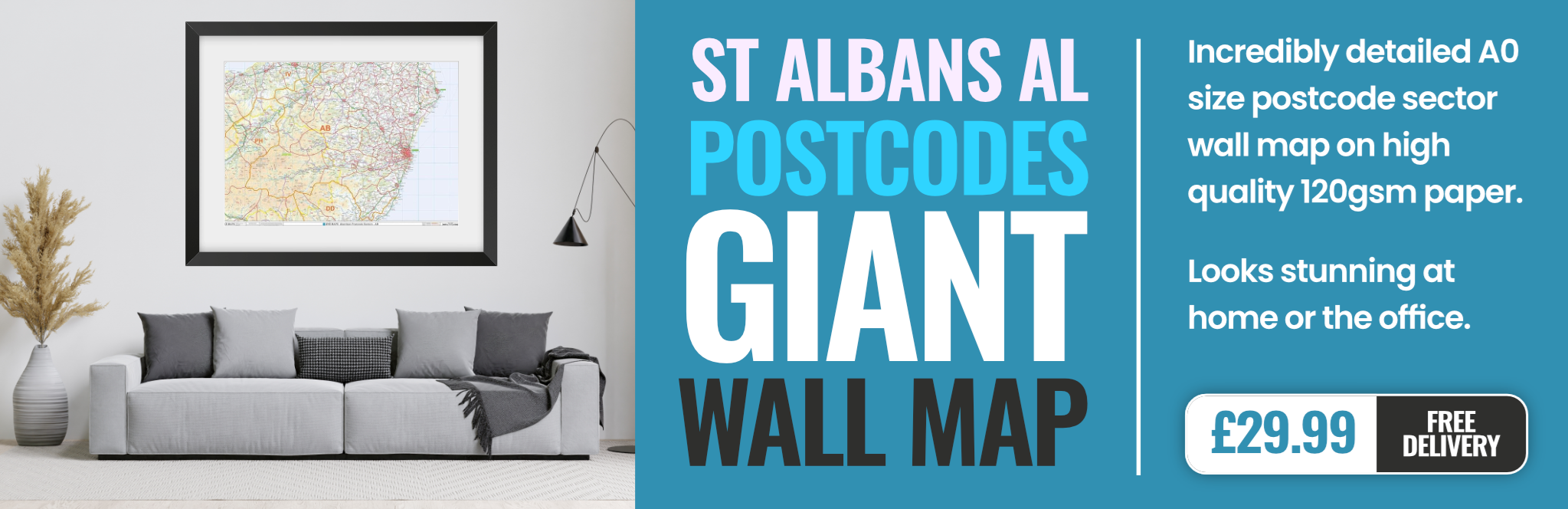
st.-albans AL10 Postcodes
Spending a fortune on conveyancing?

Compare instant, low-cost online quotes from trusted conveyancing solicitors.
Backed by experts, our no-obligation service searches through the best conveyancing quotes on the market to save you time and money.
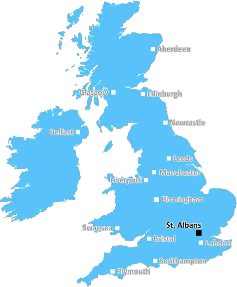
St. Albans (AL10)
The AL10 postcode area is located in the St. Albans postcode town region, within the county of Hertfordshire, and contains a total of 1127 individual postcodes.
There are 13 electoral wards in the AL10 postcode area, including Harpenden, Hatfield, St Albans, Welwyn, Welwyn Garden City which come under the local authority of the Welwyn Hatfield Council.
Combining the whole postcode region, 20% of people in AL10 are classed as having an AB social grade, (i.e. 'white-collar' middle-upper class), compared to 27% across the UK.
This does not mean that the people of AL10 are poorer than other areas, but it may give an indication that there are areas of deprivation.
The AL10 postcode area is situated in the St. Albans district of Hertfordshire, in the East of England. The postcode serves several residential areas, including Colney Heath, Nast Hyde, Oaklands, Park Street, Smallford, Sopwell, and Wildhill. It also covers part of the London Colney village.
The area primarily consists of suburban areas with semi-detached houses, although there are some rural parts that feature detached and terraced houses. Residential property for sale in AL10 typically ranges from apartments to large family homes.
AL10 is well-served by local transport links, including the M1 motorway and the A405 providing easy access to Central London. Local bus links are operated by the Arriva Hertfordshire and Arriva London. St Albans City railway station is also located in the postcode area, providing frequent services in and out of London.
The area is dominated by Watford FC's Vicarage Road stadium, home to the Premiership club. A number of unique shops and eateries are located in St Albans, making AL10 something of a destination with many visitors from the neighbouring towns.
For leisure and recreation, there are a number of large green spaces and parks, such as Verulamium Park, Bernards Heath and Marshalswick park. Courtyard Shopping is located in St Albans and Forest Retail Park is a popular place for shopping nearby AL10 residents.
Also nearby is The Colney Fields Retail Park, which is home to many well-known retailers and a nine-screen Empire cinema. The postcode area also includes notable educational establishments such as St Albans High School, St Albans School, Lancaster Young People's Centre, Oaklands College and St Albans College.
AL10 postcode also enjoys the nearby attractions of Hertfordshire, such as Knebworth House & Gardens, Hertford Castle, Ashridge Estate and the large Leventhorpe Park. It has easy access to the M25 motorway and the Chiltern Hills, making it an ideal base for commuters.

Demographics
Hertfordshire

AL10 is located in the county of Hertfordshire, in England.
Hertfordshire has a total population of 1,176,700, making it the 12th largest county in the UK.
Hertfordshire has a total area of 634 square miles, and a population density of 716 people per square kilometre. For comparison, Greater London has a density of 5,618 people/km2.
| Outward Code | AL10 |
| Postal Town | St. Albans |
| MSOA Name | Welwyn Hatfield 012 |
| LSOA Name | Welwyn Hatfield 012A |
| County | Hertfordshire |
| Region | Hertfordshire |
| Country | England |
| Local Authority | Welwyn Hatfield |
| Area Classification | Unclassified |
AL10 Electoral Wards
The postal region of AL10, includes the local towns, villages, electoral wards and stations of:
Dig even deeper into the AL10 postcode by clicking on a postcode below:
Click on an outward postal code below for more information about the area. Each 'outward' postcode give you a comprehensive list of all postcodes within the outward code area (AL) and estimated address.
Click on an 'outward' code for more information. For example, the outward postcode page 'EC2M' will give you an alphabetical list covering all postcodes located in the region, from 'EC2M 1BB' through to 'EC2M 7YA'.
Chris H
Monday, April 8, 2024
We don't have any views of AL10 right now. If you live in AL10 or have visited it, please help us to help others by telling others what you think of this neighbourhood.
Add your view of AL10
People need your local expertise. If you live in AL10 or have first-hand knowledge of the neighbourhood, please consider sharing your views. It's completely anonymous - all we ask is for your initials.
Please tell us what you like about the AL10 postcode area, what you don't like, and what it's like to live or work here.
| LOCAL AMENITIES | |
| FAMILY FRIENDLY | |
| PARKING | |
| GREEN SPACES |
Local News Hertfordshire
A huge victory' - Morris' 90th-minute goal lifts Luton
Carlton Morris' late winner boosts Luton's Premier League survival hopes as they come from behind to beat Bournemouth.
BBC NewsDelays on M25 and M1 as equipment is transported
An abnormal load bound for a power station will affect some M1 and M25 traffic this weekend.
BBC NewsMan taken to hospital after serious crash
The man is taken to Luton and Dunstable Hospital for further treatment.
BBC NewsBurrows stars as Posh beat Wycombe to lift EFL Trophy
Harrison Burrows scores twice, including a stoppage-time winner, as Peterborough beat Wycombe at Wembley to secure the EFL Trophy for a second time.
BBC NewsNo hosepipe ban, says Anglian Water
Anglian Water says it has no plans to restrict the use of hosepipes this summer.
BBC NewsFormer Luton Town manager Kinnear dies aged 77
Former Wimbledon and Newcastle United manager Joe Kinnear dies at the age of 77, his family announces.
BBC News'Losing my legs changed my life for the better'
A former footballer says he would not change a thing after a hit-and-run driver ran him over.
BBC NewsResidents emotional as Bedford postie retires
Graham McFiggins is said to have done more for the community than delivering letters.
BBC NewsFrom the Postcode Area blog

Deciphering Crime Rates - a Deep Dive Into UK Postcode Analysis
Ever wondered about the crime rate in your UK postcode? You're not alone. We've dug deep into the data, uncovering trends and patterns that'll make your head spin.

Death of the High Street?
The BBC reports that despite councils' attempts to kurb them, the UK's high streets have seen a huge growth in fast food outlets. Could this mark the death knell for the Great British high street, and what can we do about it to halt its decline?

Discrimination by Postcode
You really couldn't make it up, could you? Some of the country's most vulnerable people are missing out on their weekly £25 Cold Weather Payment, just because the system that's in operation is discriminating against them because payments are based on postcode, rather than geographic location.

The Redesign is Underway
Well, the current website was absolutely in dire need of a good redesign - from the ground up. So I set out to pull it all apart and get it up and running again to become the most comprehensive guide to every postcode in the UK. And it's been a long, tough job from start to finish - and quite possibly the biggest project I've ever undertaken.
SOCIAL GRADES
According to census records, 20% of people here have a social grade of AB (highest), compared to the national average of 27%.