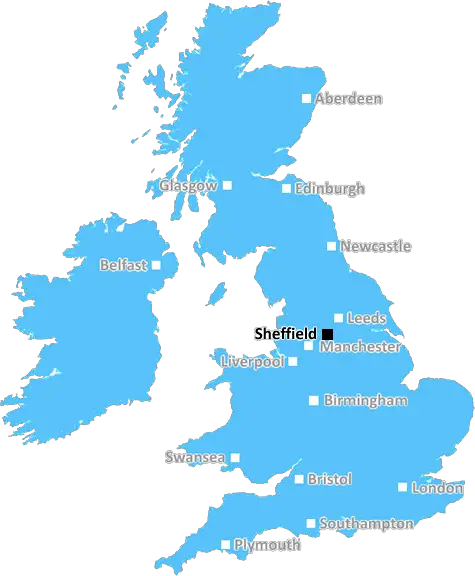
sheffield S75 Postcodes
Spending a fortune on conveyancing?

Compare instant, low-cost online quotes from trusted conveyancing solicitors.
Backed by experts, our no-obligation service searches through the best conveyancing quotes on the market to save you time and money.
Sheffield (S75)
The S75 postcode area is located in the Sheffield postcode town region, within the county of South Yorkshire, and contains a total of 1493 individual postcodes.
There are 59 electoral wards in the S75 postcode area, including Barnsley, Chesterfield, Dronfield, Hope Valley, Mexborough, Rotherham, Sheffield, Worksop which come under the local authority of the Barnsley Council.
Combining the whole postcode region, 22% of people in S75 are classed as having an AB social grade, (i.e. 'white-collar' middle-upper class), compared to 27% across the UK.
This does not mean that the people of S75 are poorer than other areas, but it may give an indication that there are areas of deprivation.
The S75 postcode covers five districts in Sheffield, including Birdwell, Jump, Ridgeway, Stairfoot, and Wombwell. It encompasses southwestern outskirts of Barnsley, as well as some small villages in North East Derbyshire.
The postcode area benefits from being adjacent to the M1 motorway as well as having links to Barnsley, Rotherham and Sheffield. This makes it an ideal location for commuters looking for easy access to the major towns and cities in the area.
S75 has a variety of amenities, with a selection of supermarkets, schools, pubs, restaurants and shops to choose from. Public transport includes regular bus services and there is a convenience store in Ridegeway.
The area boasts some wonderful parks and green spaces, such as the Southwest Community Woodland, created by a local community group, and offering extensive footpaths and nature walks. There are also the grounds of the former Ravenfield Hall below Nortoft, with extensive lawns, a large lake and plenty of wildlife.
The area also benefits from a variety of sporting facilities, including the Hive Leisure Centre, a fully equipped health and fitness centre with and indoor sports hall, dedicated strength and cardio areas, and a large outdoor park.
The open space of the former Ravenfield Park is also of great benefit to the local community, hosting numerous sports such as football, rugby and cricket. In addition, there's a ropes course at the nearby Jump Park, and a skatepark in Wombwell.
There is a good selection of Housing in S75, with a mix of both council and privately owned property. In the past, the area has suffered from deprivation, however, many of the estates have been regenerated and offer a good selection of furnished homes.

Demographics

South Yorkshire

S75 is located in the county of South Yorkshire, in England.
South Yorkshire has a total population of 1,385,000, making it the 10th largest county in the UK.
South Yorkshire has a total area of 599 square miles, and a population density of 892 people per square kilometre. For comparison, Greater London has a density of 5,618 people/km2.
| Outward Code | S75 |
| Postal Town | Sheffield |
| MSOA Name | Barnsley 010 |
| LSOA Name | Barnsley 010H |
| County | South Yorkshire |
| Region | South Yorkshire |
| Country | England |
| Local Authority | Barnsley |
| Area Classification | Urban with Minor Conurbation |
S75 Electoral Wards
The postal region of S75, includes the local towns, villages, electoral wards and stations of:
Dig even deeper into the S75 postcode by clicking on a postcode below:
Click on an outward postal code below for more information about the area. Each 'outward' postcode give you a comprehensive list of all postcodes within the outward code area (S) and estimated address.
Click on an 'outward' code for more information. For example, the outward postcode page 'EC2M' will give you an alphabetical list covering all postcodes located in the region, from 'EC2M 1BB' through to 'EC2M 7YA'.
Chris H
Sunday, April 7, 2024
We don't have any views of S75 right now. If you live in S75 or have visited it, please help us to help others by telling others what you think of this neighbourhood.
Add your view of S75
People need your local expertise. If you live in S75 or have first-hand knowledge of the neighbourhood, please consider sharing your views. It's completely anonymous - all we ask is for your initials.
Please tell us what you like about the S75 postcode area, what you don't like, and what it's like to live or work here.
| LOCAL AMENITIES | |
| FAMILY FRIENDLY | |
| PARKING | |
| GREEN SPACES |
From the Postcode Area blog

Deciphering Crime Rates - a Deep Dive Into UK Postcode Analysis
Ever wondered about the crime rate in your UK postcode? You're not alone. We've dug deep into the data, uncovering trends and patterns that'll make your head spin.

Death of the High Street?
The BBC reports that despite councils' attempts to kurb them, the UK's high streets have seen a huge growth in fast food outlets. Could this mark the death knell for the Great British high street, and what can we do about it to halt its decline?

Discrimination by Postcode
You really couldn't make it up, could you? Some of the country's most vulnerable people are missing out on their weekly £25 Cold Weather Payment, just because the system that's in operation is discriminating against them because payments are based on postcode, rather than geographic location.

The Redesign is Underway
Well, the current website was absolutely in dire need of a good redesign - from the ground up. So I set out to pull it all apart and get it up and running again to become the most comprehensive guide to every postcode in the UK. And it's been a long, tough job from start to finish - and quite possibly the biggest project I've ever undertaken.
SOCIAL GRADES
According to census records, 22% of people here have a social grade of AB (highest), compared to the national average of 27%.