sheffield S65 Postcodes
Spending a fortune on conveyancing?

Compare instant, low-cost online quotes from trusted conveyancing solicitors.
Backed by experts, our no-obligation service searches through the best conveyancing quotes on the market to save you time and money.
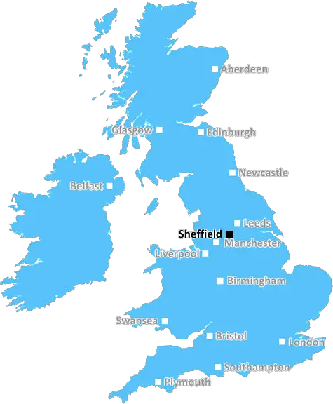
Sheffield (S65)
The S65 postcode area is located in the Sheffield postcode town region, within the county of South Yorkshire, and contains a total of 974 individual postcodes.
There are 26 electoral wards in the S65 postcode area, including Barnsley, Chesterfield, Dronfield, Hope Valley, Mexborough, Rotherham, Sheffield, Worksop which come under the local authority of the Rotherham Council.
Combining the whole postcode region, 12% of people in S65 are classed as having an AB social grade, (i.e. 'white-collar' middle-upper class), compared to 27% across the UK.
This does not mean that the people of S65 are poorer than other areas, but it may give an indication that there are areas of deprivation.
S65 is a postcode district in the Sheffield Metropolitan Borough, South Yorkshire, England. The area covered by the postcode mainly consists of the settlement of Thurnscoe as well as the towns of Rawmarsh and Rotherham.
The S65 postcode district has a population of around 23,800, as of summer 2017. It covers an area of 7.13 square miles, which equates to around 18.49 square kilometres. The bulk of the area is in the electoral ward of Thurnscoe in the Rotherham Metropolitan Borough and, since 2004, has been part of the Parliamentary Constituency of Wentworth and Dearne.
The predominant housing within the postcode consist of predominantly terraced houses. There are plenty of amenities and facilities, with a large secondary school, local primary schools and a wide selection of shops and restaurants.
The district is served by Thurnscoe railway station, which is just south of Thurnscoe village centre. This station is located on the Hallam Line in the TPE Northern network and provides a direct route into Sheffield city centre. There are also regular bus services running throughout the area, with links to the nearby settlement of Rotherham and further afield.
Residents can access some of the region's most popular attractions, including Clifton Park and Museum, Magna Science Adventure Centre and Wentworth Castle. There are plenty of green spaces and parks to explore, including Wentworth Park and sporting and leisure activities for all the family, from traditional pastimes like basketball and tennis to football, golf and bowls.
In terms of crime figures, the area's rate of reported incidents is generally low - according to 'Police.uk', as of April 2019, there were only twenty reported incidents in the S65 postcode that month.
The S65 postcode district is an ideal place for those looking to move to the Sheffield area and is well served by transport links, facilities and amenities. It offers a safe, family-friendly environment, with plenty to do and explore for both adults and children alike.

Demographics

South Yorkshire

S65 is located in the county of South Yorkshire, in England.
South Yorkshire has a total population of 1,385,000, making it the 10th largest county in the UK.
South Yorkshire has a total area of 599 square miles, and a population density of 892 people per square kilometre. For comparison, Greater London has a density of 5,618 people/km2.
| Outward Code | S65 |
| Postal Town | Sheffield |
| MSOA Name | Rotherham 017 |
| LSOA Name | Rotherham 017B |
| County | South Yorkshire |
| Region | South Yorkshire |
| Country | England |
| Local Authority | Rotherham |
| Area Classification | Urban with Minor Conurbation |
S65 Electoral Wards
The postal region of S65, includes the local towns, villages, electoral wards and stations of:
Dig even deeper into the S65 postcode by clicking on a postcode below:
Click on an outward postal code below for more information about the area. Each 'outward' postcode give you a comprehensive list of all postcodes within the outward code area (S) and estimated address.
Click on an 'outward' code for more information. For example, the outward postcode page 'EC2M' will give you an alphabetical list covering all postcodes located in the region, from 'EC2M 1BB' through to 'EC2M 7YA'.
Chris H
Monday, April 8, 2024
We don't have any views of S65 right now. If you live in S65 or have visited it, please help us to help others by telling others what you think of this neighbourhood.
Add your view of S65
People need your local expertise. If you live in S65 or have first-hand knowledge of the neighbourhood, please consider sharing your views. It's completely anonymous - all we ask is for your initials.
Please tell us what you like about the S65 postcode area, what you don't like, and what it's like to live or work here.
| LOCAL AMENITIES | |
| FAMILY FRIENDLY | |
| PARKING | |
| GREEN SPACES |
From the Postcode Area blog

Deciphering Crime Rates - a Deep Dive Into UK Postcode Analysis
Ever wondered about the crime rate in your UK postcode? You're not alone. We've dug deep into the data, uncovering trends and patterns that'll make your head spin.

Death of the High Street?
The BBC reports that despite councils' attempts to kurb them, the UK's high streets have seen a huge growth in fast food outlets. Could this mark the death knell for the Great British high street, and what can we do about it to halt its decline?

Discrimination by Postcode
You really couldn't make it up, could you? Some of the country's most vulnerable people are missing out on their weekly £25 Cold Weather Payment, just because the system that's in operation is discriminating against them because payments are based on postcode, rather than geographic location.

The Redesign is Underway
Well, the current website was absolutely in dire need of a good redesign - from the ground up. So I set out to pull it all apart and get it up and running again to become the most comprehensive guide to every postcode in the UK. And it's been a long, tough job from start to finish - and quite possibly the biggest project I've ever undertaken.
SOCIAL GRADES
According to census records, 12% of people here have a social grade of AB (highest), compared to the national average of 27%.