sheffield S63 Postcodes
Spending a fortune on conveyancing?

Compare instant, low-cost online quotes from trusted conveyancing solicitors.
Backed by experts, our no-obligation service searches through the best conveyancing quotes on the market to save you time and money.
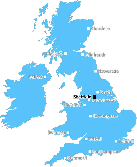
Sheffield (S63)
The S63 postcode area is located in the Sheffield postcode town region, within the county of South Yorkshire, and contains a total of 1360 individual postcodes.
There are 24 electoral wards in the S63 postcode area, including Barnsley, Chesterfield, Dronfield, Hope Valley, Mexborough, Rotherham, Sheffield, Worksop which come under the local authority of the Barnsley Council.
Combining the whole postcode region, 11% of people in S63 are classed as having an AB social grade, (i.e. 'white-collar' middle-upper class), compared to 27% across the UK.
This does not mean that the people of S63 are poorer than other areas, but it may give an indication that there are areas of deprivation.
The S63 postcode is located in the Sheffield district of South Yorkshire in the United Kingdom. It covers an area which includes the villages of Barnburgh, Bolton upon Dearne, Wath upon Dearne and Mexborough, as well as Dearne Valley, Brierley, Hooton Pagnell, Stainforth and Kirk Sandall. It also includes smaller settlements such as Old Denaby, High Melton, Brampton Bierlow, Harlington, Braithwell, Firbeck, Thrybergh, Catcliffe, Ravenfield and Bolton-on-Dearne. The S63 postcode is mainly residential and rural, with the majority of the area consisting of open countryside and woodlands. It is also home to several large industrial sites, such as the Maltby Colliery and the Wath-upon-Dearne Power Station.
The area has excellent road connections, giving easy access to the cities of Sheffield, Doncaster, Barnsley and Rotherham. There is also the option of travelling by train, with stations in Wath-upon-Dearne and Mexborough providing service to Leeds, Manchester and London.
Of particular interest in the area is the experience of country living. The S63 Postcode boasts many farmland and country walks, as well as numerous nature reserves, parks and woodlands. The countryside here is particularly attractive, with its rolling hills, lush forests and small picturesque settlements.
The economy of the S63 postcode relies heavily on its industrial sites, as well as on agriculture. The area is well known for its strawberries, which are largely grown in the area's rich soil. Other commodities such as sheep and cattle are also farmed here.
Despite its rural nature, S63 postcode has many amenities, including primary and secondary schools, health services and leisure facilities. There are also two shopping centres in the area, located in Barnsley and Doncaster. Doncaster Racecourse, known for being one of the oldest in the country, is also located here.
In terms of culture and leisure, the area is served by a variety of churches, cafes and pubs. Several events are hosted here each year, including a carnival in Barnburgh and a Victorian fair in Mexborough. The S63 postcode has long been a popular destination for countryside holidays, with plenty of accommodation for visitors to choose from.

Demographics

South Yorkshire

S63 is located in the county of South Yorkshire, in England.
South Yorkshire has a total population of 1,385,000, making it the 10th largest county in the UK.
South Yorkshire has a total area of 599 square miles, and a population density of 892 people per square kilometre. For comparison, Greater London has a density of 5,618 people/km2.
| Outward Code | S63 |
| Postal Town | Sheffield |
| MSOA Name | Barnsley 014 |
| LSOA Name | Barnsley 014A |
| County | South Yorkshire |
| Region | South Yorkshire |
| Country | England |
| Local Authority | Barnsley |
| Area Classification | Urban with Minor Conurbation |
S63 Electoral Wards
The postal region of S63, includes the local towns, villages, electoral wards and stations of:
Dig even deeper into the S63 postcode by clicking on a postcode below:
Click on an outward postal code below for more information about the area. Each 'outward' postcode give you a comprehensive list of all postcodes within the outward code area (S) and estimated address.
Click on an 'outward' code for more information. For example, the outward postcode page 'EC2M' will give you an alphabetical list covering all postcodes located in the region, from 'EC2M 1BB' through to 'EC2M 7YA'.
Chris H
Saturday, April 6, 2024
We don't have any views of S63 right now. If you live in S63 or have visited it, please help us to help others by telling others what you think of this neighbourhood.
Add your view of S63
People need your local expertise. If you live in S63 or have first-hand knowledge of the neighbourhood, please consider sharing your views. It's completely anonymous - all we ask is for your initials.
Please tell us what you like about the S63 postcode area, what you don't like, and what it's like to live or work here.
| LOCAL AMENITIES | |
| FAMILY FRIENDLY | |
| PARKING | |
| GREEN SPACES |
From the Postcode Area blog

Deciphering Crime Rates - a Deep Dive Into UK Postcode Analysis
Ever wondered about the crime rate in your UK postcode? You're not alone. We've dug deep into the data, uncovering trends and patterns that'll make your head spin.

Death of the High Street?
The BBC reports that despite councils' attempts to kurb them, the UK's high streets have seen a huge growth in fast food outlets. Could this mark the death knell for the Great British high street, and what can we do about it to halt its decline?

Discrimination by Postcode
You really couldn't make it up, could you? Some of the country's most vulnerable people are missing out on their weekly £25 Cold Weather Payment, just because the system that's in operation is discriminating against them because payments are based on postcode, rather than geographic location.

The Redesign is Underway
Well, the current website was absolutely in dire need of a good redesign - from the ground up. So I set out to pull it all apart and get it up and running again to become the most comprehensive guide to every postcode in the UK. And it's been a long, tough job from start to finish - and quite possibly the biggest project I've ever undertaken.
SOCIAL GRADES
According to census records, 11% of people here have a social grade of AB (highest), compared to the national average of 27%.