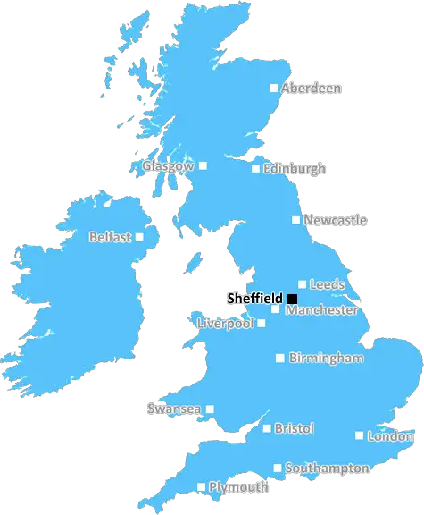
sheffield S40 Postcodes
Spending a fortune on conveyancing?

Compare instant, low-cost online quotes from trusted conveyancing solicitors.
Backed by experts, our no-obligation service searches through the best conveyancing quotes on the market to save you time and money.
Sheffield (S40)
The S40 postcode area is located in the Sheffield postcode town region, within the county of Derbyshire, and contains a total of 1569 individual postcodes.
There are 12 electoral wards in the S40 postcode area, including Barnsley, Chesterfield, Dronfield, Hope Valley, Mexborough, Rotherham, Sheffield, Worksop which come under the local authority of the Chesterfield Council.
Combining the whole postcode region, 22% of people in S40 are classed as having an AB social grade, (i.e. 'white-collar' middle-upper class), compared to 27% across the UK.
This does not mean that the people of S40 are poorer than other areas, but it may give an indication that there are areas of deprivation.
The S40 postcode is in the Chesterfield borough of Derbyshire in the north of England. It includes the towns of Staveley and Barrow Hill.
Staveley is a large village with a population of around 10,000. It is known for its heritage and industrial history, having been home to the Norton Brothers Staveley Mills which manufactured some of the world's first steam locomotives. It is also home to a range of local businesses, services and leisure facilities.
Barrow Hill is a small village located close to Staveley. With a population of around 2,800, it is known for its traditional cottages and attractive countryside. It has a good range of local amenities and facilities including a pub, hairdressers, village shop, community centre, allotments and recreation grounds.
The S40 postcode area is served by the M1 motorway and the A61 road which run close by. The nearest train station is at Chesterfield, around 5 miles away, with services running to London and other major cities.
The S40 area is a great place to live, as there is a good range of local amenities and facilities on offer. It is well connected via road and rail links, with easy access to the cities of Sheffield and Nottingham. The area is well known for its picturesque rolling countryside and traditional villages and has a wide range of activities available such as walking, cycling and golf. It is also close to some of the Peak District's most iconic sights and attractions.

Demographics

Derbyshire

S40 is located in the county of Derbyshire, in England.
Derbyshire has a total population of 1,042,000, making it the 20th largest county in the UK.
Derbyshire has a total area of 1013 square miles, and a population density of 396 people per square kilometre. For comparison, Greater London has a density of 5,618 people/km2.
| Outward Code | S40 |
| Postal Town | Sheffield |
| MSOA Name | Chesterfield 010 |
| LSOA Name | Chesterfield 010G |
| County | Derbyshire |
| Region | Derbyshire |
| Country | England |
| Local Authority | Chesterfield |
| Area Classification | Urban with City and Town |
S40 Electoral Wards
The postal region of S40, includes the local towns, villages, electoral wards and stations of:
Dig even deeper into the S40 postcode by clicking on a postcode below:
Click on an outward postal code below for more information about the area. Each 'outward' postcode give you a comprehensive list of all postcodes within the outward code area (S) and estimated address.
Click on an 'outward' code for more information. For example, the outward postcode page 'EC2M' will give you an alphabetical list covering all postcodes located in the region, from 'EC2M 1BB' through to 'EC2M 7YA'.
Chris H
Saturday, April 6, 2024
We don't have any views of S40 right now. If you live in S40 or have visited it, please help us to help others by telling others what you think of this neighbourhood.
Add your view of S40
People need your local expertise. If you live in S40 or have first-hand knowledge of the neighbourhood, please consider sharing your views. It's completely anonymous - all we ask is for your initials.
Please tell us what you like about the S40 postcode area, what you don't like, and what it's like to live or work here.
| LOCAL AMENITIES | |
| FAMILY FRIENDLY | |
| PARKING | |
| GREEN SPACES |
Local News Derbyshire
Man who stabbed Costa worker in head jailed
Darren Laken, 31, stole a pack of knives before attacking the worker, a court hears.
BBC News'I wish our daughter had spoken to this police force'
The parents of Gracie Spinks, who was killed by her stalker, visit a dedicated police unit.
BBC NewsDerbyshire man stabbed Costa worker a dozen times after being told he couldn't charge vape
Daren Laken attacked hotel staff, stole knives and poured wine over a computer during the rampage
Derby TelegraphTeen injured in Ilkeston street fight, police make 4 arrests
A teenager suffered a swollen lip, cut to the head and grazes and was taken to hospital
Derby TelegraphHospital 'shortcomings' led to newborn baby's death
An inquest hears Ethan Blackwell died in his mother's arms 32 hours after he was born in May 2021.
BBC NewsLara Croft voted most iconic video game character
Lara Croft beat old favourites Mario, Sonic and Pac-Man to claim the title, voted for by gamers.
BBC News'Beautiful' Chellaston mum in Derby Telegraph funeral notices this weekend
Our thoughts are with the friends and family of those who have died recently
Derby TelegraphDerby County boss Warne lauds 'amazing' group
Derby boss Paul Warne says the fact automatic promotion remains in their hands eases the frustration of their draw at Portsmouth.
BBC NewsFrom the Postcode Area blog

Deciphering Crime Rates - a Deep Dive Into UK Postcode Analysis
Ever wondered about the crime rate in your UK postcode? You're not alone. We've dug deep into the data, uncovering trends and patterns that'll make your head spin.

Death of the High Street?
The BBC reports that despite councils' attempts to kurb them, the UK's high streets have seen a huge growth in fast food outlets. Could this mark the death knell for the Great British high street, and what can we do about it to halt its decline?

Discrimination by Postcode
You really couldn't make it up, could you? Some of the country's most vulnerable people are missing out on their weekly £25 Cold Weather Payment, just because the system that's in operation is discriminating against them because payments are based on postcode, rather than geographic location.

The Redesign is Underway
Well, the current website was absolutely in dire need of a good redesign - from the ground up. So I set out to pull it all apart and get it up and running again to become the most comprehensive guide to every postcode in the UK. And it's been a long, tough job from start to finish - and quite possibly the biggest project I've ever undertaken.
SOCIAL GRADES
According to census records, 22% of people here have a social grade of AB (highest), compared to the national average of 27%.