sheffield S11 Postcodes
Spending a fortune on conveyancing?

Compare instant, low-cost online quotes from trusted conveyancing solicitors.
Backed by experts, our no-obligation service searches through the best conveyancing quotes on the market to save you time and money.
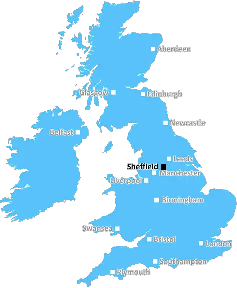
Sheffield (S11)
The S11 postcode area is located in the Sheffield postcode town region, within the county of South Yorkshire, and contains a total of 1048 individual postcodes.
There are 38 electoral wards in the S11 postcode area, including Barnsley, Chesterfield, Dronfield, Hope Valley, Mexborough, Rotherham, Sheffield, Worksop which come under the local authority of the Sheffield Council.
Combining the whole postcode region, 44% of people in S11 are classed as having an AB social grade, (i.e. 'white-collar' middle-upper class), compared to 27% across the UK.
This does not mean that the people of S11 are wealthier - or higher class - than average, but it can be an indication that the area may be prospering and desirable to live in.
The S11 postcode area is located in the south-west of Sheffield, South Yorkshire, England. It includes parts of the post towns of Sheffield, Dronfield, and Staveley.
The S11 postcode covers eastern parts of Sheffield, including Barnsley Road, Ecclesall, Sharrow, Nether Edge, and Greystones, and extends south to include Whirlow, Dore, Totley, Bradway, and parts of Unstone, Dronfield, and Staveley. It also covers some of the suburbs of Sheffield including Millhouses, Bradway, and Firth Park.
The area is very affluent overall, with a high number of higher value properties. It is home to a significant proportion of business, retail, and professional occupations and services, as well as educational and cultural facilities.
In terms of transport, the S11 postcode has excellent access to the M1 motorway, and the nearby Deepcar and Firth Park railway stations. Bus services are available from Hillsborough and Chesterfield Road West.
The area includes a number of popular attractions such as Ecclesall Woods, The Botanical Gardens, Meersbrook Park, Firs Hills Country Park, and the Derbyshire Wildlife Trust's Whitely Woods. There are also the popular Ecclesall Road shops, pubs, restaurants, and cafes which are popular with the local community.
The area is noted for its pleasant, leafy suburbs with residential streets and amenities. It has a broad selection of housing styles, including modern apartments, Victorian terraced houses, and Edwardian semis. Popular with young professionals and families, S11 contains many schools, including the highly rated Fircroft Primary, St Thomas More Secondary, and Osgathorpe Primary.
The local community has a strong sense of identity, with its own festivals such as Ecclesall Woods Fayre and Nether Edge Festival. The area has its own local magazine, Ecclesall Living, which provides more information and news about the area.

Demographics

South Yorkshire

S11 is located in the county of South Yorkshire, in England.
South Yorkshire has a total population of 1,385,000, making it the 10th largest county in the UK.
South Yorkshire has a total area of 599 square miles, and a population density of 892 people per square kilometre. For comparison, Greater London has a density of 5,618 people/km2.
| Outward Code | S11 |
| Postal Town | Sheffield |
| MSOA Name | Sheffield 047 |
| LSOA Name | Sheffield 047D |
| County | South Yorkshire |
| Region | South Yorkshire |
| Country | England |
| Local Authority | Sheffield |
| Area Classification | Urban with Minor Conurbation |
S11 Electoral Wards
The postal region of S11, includes the local towns, villages, electoral wards and stations of:
Dig even deeper into the S11 postcode by clicking on a postcode below:
Click on an outward postal code below for more information about the area. Each 'outward' postcode give you a comprehensive list of all postcodes within the outward code area (S) and estimated address.
Click on an 'outward' code for more information. For example, the outward postcode page 'EC2M' will give you an alphabetical list covering all postcodes located in the region, from 'EC2M 1BB' through to 'EC2M 7YA'.
Chris H
Sunday, April 7, 2024
We don't have any views of S11 right now. If you live in S11 or have visited it, please help us to help others by telling others what you think of this neighbourhood.
Add your view of S11
People need your local expertise. If you live in S11 or have first-hand knowledge of the neighbourhood, please consider sharing your views. It's completely anonymous - all we ask is for your initials.
Please tell us what you like about the S11 postcode area, what you don't like, and what it's like to live or work here.
| LOCAL AMENITIES | |
| FAMILY FRIENDLY | |
| PARKING | |
| GREEN SPACES |
From the Postcode Area blog

Deciphering Crime Rates - a Deep Dive Into UK Postcode Analysis
Ever wondered about the crime rate in your UK postcode? You're not alone. We've dug deep into the data, uncovering trends and patterns that'll make your head spin.

Death of the High Street?
The BBC reports that despite councils' attempts to kurb them, the UK's high streets have seen a huge growth in fast food outlets. Could this mark the death knell for the Great British high street, and what can we do about it to halt its decline?

Discrimination by Postcode
You really couldn't make it up, could you? Some of the country's most vulnerable people are missing out on their weekly £25 Cold Weather Payment, just because the system that's in operation is discriminating against them because payments are based on postcode, rather than geographic location.

The Redesign is Underway
Well, the current website was absolutely in dire need of a good redesign - from the ground up. So I set out to pull it all apart and get it up and running again to become the most comprehensive guide to every postcode in the UK. And it's been a long, tough job from start to finish - and quite possibly the biggest project I've ever undertaken.
SOCIAL GRADES
According to census records, 44% of people here have a social grade of AB (highest), compared to the national average of 27%.