romford RM10 Postcodes
Spending a fortune on conveyancing?

Compare instant, low-cost online quotes from trusted conveyancing solicitors.
Backed by experts, our no-obligation service searches through the best conveyancing quotes on the market to save you time and money.
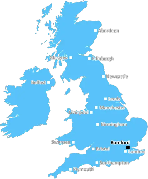
Romford (RM10)
The RM10 postcode area is located in the Romford postcode town region, within the county of Greater London, and contains a total of 798 individual postcodes.
There are 3 electoral wards in the RM10 postcode area, including Dagenham, Grays, Hornchurch, Purfleet, Rainham, Romford, South Ockendon, Tilbury, Upminster which come under the local authority of the Barking and Dagenham Council.
Combining the whole postcode region, 10% of people in RM10 are classed as having an AB social grade, (i.e. 'white-collar' middle-upper class), compared to 27% across the UK.
This does not mean that the people of RM10 are poorer than other areas, but it may give an indication that there are areas of deprivation.
The RM10 postcode covers parts of Dagenham, Becontree, Becontree Heath and Rush Green in the London Borough of Barking and Dagenham, in the East of England. It belongs to the Romford post town, which is also part of the Greater London Urban Area. To the East and West of this postcode are RM12 and RM9, whilst RM11 is to the North and RM11 to the South. It includes Becontree station and has lots of shops, restaurants, takeaways and two parks, Goresbrook Park and Southcrest Park.
Dagenham is a suburban town with a nearby industrial heritage. Major industrial sites like the Ford Dagenham plant, which has been manufacturing cars since 1931, are located in and around the postcode. This vibrant and diverse area of London has a long and rich history and is home to a number of interesting architectural features, including the romantic interwar houses found along Church Road or the historic churches at St James and St Peter's.
As a commuter town, Dagenham provides easy access to numerous trains and tubes, via two National Rail stations and four Tube lines. Residents of the RM10 postcode can enjoy some of the best retail and leisure facilities in the city, as it's home to intu Lakeside, one of the biggest shopping and entertainment complexes in the capital.
Becontree Heath is also located in the RM10 postcode and is one of the largest remaining country parks in Greater London, filled with meadows, wildlife and woodland. This park is enjoyed by locals and visitors alike, offering a chance to escape the hustle and bustle of London life.
In terms of schools, the postcode serves Dagenham Park Church of England School, Crownfield Junior School, Hacton Primary School, Northbury Primary School and Robert Clack School. Other amenities include Surrey House Community Centre.
residents of RM10 have access to a wealth of amenities, including excellent transport links, shops, schools, parks, through to historic landmarks and leisure attractions. As such, it is an area full of variety and excitement, perfect for families of all shapes and sizes.

Demographics

Greater London

RM10 is located in the county of Greater London, in England.
Greater London has a total population of 8,778,500, making it the 1st largest county in the UK.
Greater London has a total area of 606 square miles, and a population density of 5594 people per square kilometre. For comparison, Greater London has a density of 5,618 people/km2.
| Outward Code | RM10 |
| Postal Town | Romford |
| MSOA Name | Barking and Dagenham 003 |
| LSOA Name | Barking and Dagenham 003A |
| County | Greater London |
| Region | Greater London |
| Country | England |
| Local Authority | Barking and Dagenham |
| Area Classification | Urban with Major Conurbation |
RM10 Electoral Wards
The postal region of RM10, includes the local towns, villages, electoral wards and stations of:
Dig even deeper into the RM10 postcode by clicking on a postcode below:
Click on an outward postal code below for more information about the area. Each 'outward' postcode give you a comprehensive list of all postcodes within the outward code area (RM) and estimated address.
Click on an 'outward' code for more information. For example, the outward postcode page 'EC2M' will give you an alphabetical list covering all postcodes located in the region, from 'EC2M 1BB' through to 'EC2M 7YA'.
Chris H
Saturday, April 6, 2024
We don't have any views of RM10 right now. If you live in RM10 or have visited it, please help us to help others by telling others what you think of this neighbourhood.
Add your view of RM10
People need your local expertise. If you live in RM10 or have first-hand knowledge of the neighbourhood, please consider sharing your views. It's completely anonymous - all we ask is for your initials.
Please tell us what you like about the RM10 postcode area, what you don't like, and what it's like to live or work here.
| LOCAL AMENITIES | |
| FAMILY FRIENDLY | |
| PARKING | |
| GREEN SPACES |
Local News Essex
UK weather: Temperature to be hotter than Spain this weekend
Temperatures in the UK are expected to be hotter than in the capital of Spain this weekend (April 6), see how long it will last according to the Met Office.
Daily GazetteNew lifeboat moves one step closer to service
The high-tech Shannon vessel is designed to cope with the most serious of weather conditions.
BBC NewsPhotos show fire crews and police at scene of fire aftermath in Billericay High Street
Crews from Essex County Fire and Rescue Service were called to a building on the High Street at 3pm on Thursday. The High Street had to be closed temporarily
Essex LiveEssex RSPCA: 5 pets who are searching for loving new homes
Many pets are looking to find new homes from the Essex RSPCA centres and the associated Danaher Animal Home.
The EchoClacton Burrsville Pre-School finds temporary accommodation
A CLACTON pre-schoolhas been given a glimmer of hope after the public hall it uses was badly damaged by a ragingfire leaving them without a home.
Daily GazetteNew UK airport liquid rule delayed what it means for you
Plans to relax rules around airline passengers carrying liquids in hand luggage due to new technology delayed for a year, the government has said.
Daily GazettePensioner dies after fatal crash with van in Enfield as police appeal for help
He was treated at the scene by paramedics but sadly could not be saved
Essex LiveColchester mother raising funds for her son battling cancer
A LOVING mother has discussed her child's cancer battle after being diagnosed at the age of 2 whilst fundraising to create some family memories for him.
Daily GazetteFrom the Postcode Area blog

Deciphering Crime Rates - a Deep Dive Into UK Postcode Analysis
Ever wondered about the crime rate in your UK postcode? You're not alone. We've dug deep into the data, uncovering trends and patterns that'll make your head spin.

Death of the High Street?
The BBC reports that despite councils' attempts to kurb them, the UK's high streets have seen a huge growth in fast food outlets. Could this mark the death knell for the Great British high street, and what can we do about it to halt its decline?

Discrimination by Postcode
You really couldn't make it up, could you? Some of the country's most vulnerable people are missing out on their weekly £25 Cold Weather Payment, just because the system that's in operation is discriminating against them because payments are based on postcode, rather than geographic location.

The Redesign is Underway
Well, the current website was absolutely in dire need of a good redesign - from the ground up. So I set out to pull it all apart and get it up and running again to become the most comprehensive guide to every postcode in the UK. And it's been a long, tough job from start to finish - and quite possibly the biggest project I've ever undertaken.
SOCIAL GRADES
According to census records, 10% of people here have a social grade of AB (highest), compared to the national average of 27%.