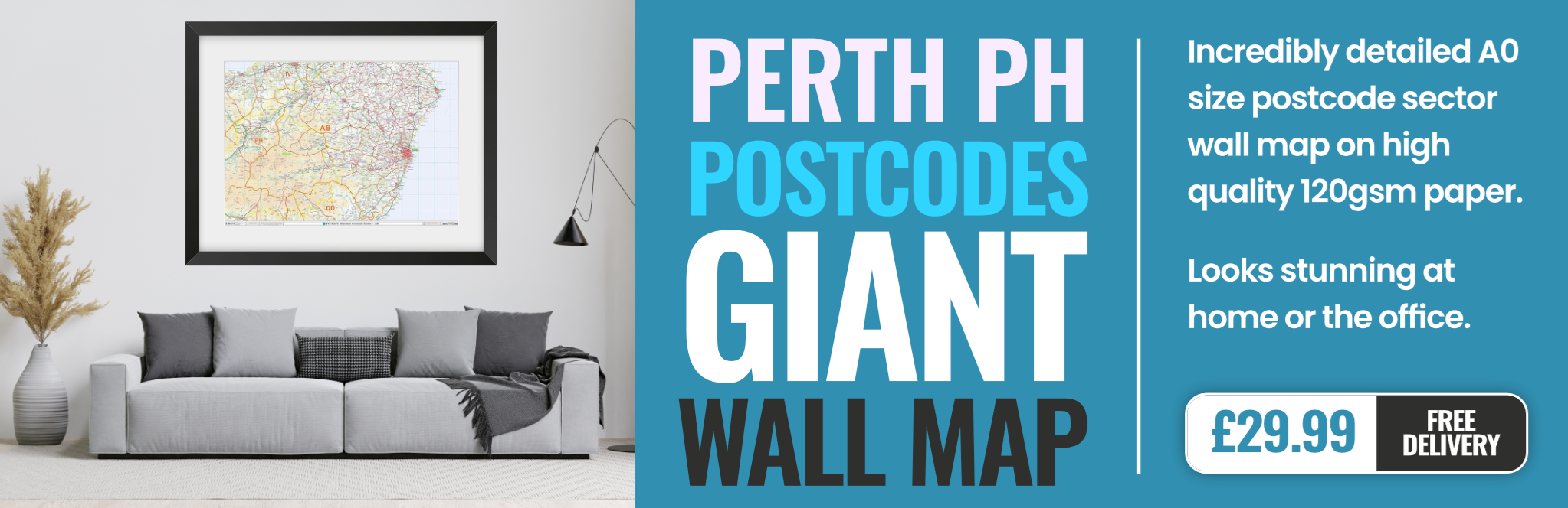
perth PH33 Postcodes
Spending a fortune on conveyancing?

Compare instant, low-cost online quotes from trusted conveyancing solicitors.
Backed by experts, our no-obligation service searches through the best conveyancing quotes on the market to save you time and money.
Perth (PH33)
The PH33 postcode area is located in the Perth postcode town region, within the county of , and contains a total of 534 individual postcodes.
There are 81 electoral wards in the PH33 postcode area, including Aberfeldy,Acharacle, Arisaig, Auchterarder, Aviemore, Ballachulish, Blairgowrie, Boat Of Garten, Carrbridge, Corrour, Crieff, Dalwhinnie, Dunkeld, Fort Augustus, Fort William, Glenfinnan, Grantown-On-Spey, Invergarry, Isle Of Canna, Isle Of Eigg, Isle Of Rum, Kingussie, Kinlochleven, Lochailort, Mallaig, Nethy Bridge, Newtonmore, Perth, Pitlochry, Roy Bridge, Spean Bridge which come under the local authority of the Highland Council.
Combining the whole postcode region, 0% of people in PH33 are classed as having an AB social grade, (i.e. 'white-collar' middle-upper class), compared to 27% across the UK.
This does not mean that the people of PH33 are poorer than other areas, but it may give an indication that there are areas of deprivation.
The PH33 postcode in the Perth district of Scotland is located in the Highlands region. It covers the geographical areas of the cities of Inverness, Fort Augustus, and Fort William, as well as part of the Cairngorms National Park.
The PH33 postcode area includes various towns and villages, including Invergarry, Roy Bridge, Spean Bridge, Onich, Bandruich, Achnacarry, and Corran. It also covers a few small islands in Loch Lochy and Loch Linnhe, including Eilean Garry island, Eilean Tigh island, and Eilean Glas island. This postcode district is mainly rural, but there are some small towns and settlements too. It includes the well-known tourist villages of Spean Bridge, Kinlochleven, and Fort Augustus.
The PH33 postcode area stretches in a north-west to south-east direction, covering around 79 square miles and has a population of just over 12,000. It has an abundance of outstanding natural beauty, with its scenery ranging from thick pine forests and heather moorlands to tranquil lochs and majestic mountains. This area is also home to a variety of activities, from hiking and mountain biking to kayaking and fishing.
It is also popular for its local food and drink, and is home to some renowned restaurants, pubs, and breweries. The PH33 district is served by two railway lines, the West Highland Line between Glasgow and Mallaig, and the Highland Main Line � which runs from Perth via Dundee, Inverurie and Aberdeen, to Elgin.
This area has it all, from picturesque views and wonderful outdoor activities to wonderful pubs and restaurants, making it an ideal place to experience Scots culture and the Highlands in all its glory.

Demographics

PH33 is located in the county of , in Scotland.
has a total population of 0, making it the largest county in the UK.
has a total area of square miles, and a population density of people per square kilometre. For comparison, Greater London has a density of 5,618 people/km2.

| Outward Code | PH33 |
| Postal Town | Perth |
| MSOA Name | Fort William South |
| LSOA Name | |
| County | |
| Region | |
| Country | Scotland |
| Local Authority | Highland |
| Area Classification | Unclassified |
PH33 Electoral Wards
The postal region of PH33, includes the local towns, villages, electoral wards and stations of:
Dig even deeper into the PH33 postcode by clicking on a postcode below:
Click on an outward postal code below for more information about the area. Each 'outward' postcode give you a comprehensive list of all postcodes within the outward code area (PH) and estimated address.
Click on an 'outward' code for more information. For example, the outward postcode page 'EC2M' will give you an alphabetical list covering all postcodes located in the region, from 'EC2M 1BB' through to 'EC2M 7YA'.
MQ, perth
Friday, May 3, 2019
Quiet cul-de-sac with about half the residents retired ,a few families and some working couples. 5 minutes drive from town centre or 15 minute walk.2 minute walk to open countryside
Add your view of PH33
People need your local expertise. If you live in PH33 or have first-hand knowledge of the neighbourhood, please consider sharing your views. It's completely anonymous - all we ask is for your initials.
Please tell us what you like about the PH33 postcode area, what you don't like, and what it's like to live or work here.
| LOCAL AMENITIES | |
| FAMILY FRIENDLY | |
| PARKING | |
| GREEN SPACES |
From the Postcode Area blog

Deciphering Crime Rates - a Deep Dive Into UK Postcode Analysis
Ever wondered about the crime rate in your UK postcode? You're not alone. We've dug deep into the data, uncovering trends and patterns that'll make your head spin.

Death of the High Street?
The BBC reports that despite councils' attempts to kurb them, the UK's high streets have seen a huge growth in fast food outlets. Could this mark the death knell for the Great British high street, and what can we do about it to halt its decline?

Discrimination by Postcode
You really couldn't make it up, could you? Some of the country's most vulnerable people are missing out on their weekly £25 Cold Weather Payment, just because the system that's in operation is discriminating against them because payments are based on postcode, rather than geographic location.

The Redesign is Underway
Well, the current website was absolutely in dire need of a good redesign - from the ground up. So I set out to pull it all apart and get it up and running again to become the most comprehensive guide to every postcode in the UK. And it's been a long, tough job from start to finish - and quite possibly the biggest project I've ever undertaken.
SOCIAL GRADES
According to census records, 0% of people here have a social grade of AB (highest), compared to the national average of 27%.