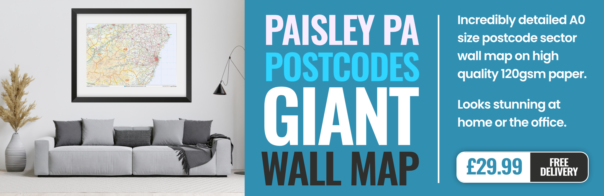
paisley PA6 Postcodes
Spending a fortune on conveyancing?

Compare instant, low-cost online quotes from trusted conveyancing solicitors.
Backed by experts, our no-obligation service searches through the best conveyancing quotes on the market to save you time and money.
Paisley (PA6)
The PA6 postcode area is located in the Paisley postcode town region, within the county of Renfrewshire, and contains a total of 190 individual postcodes.
There are 8 electoral wards in the PA6 postcode area, including Appin, Bishopton, Bridge Of Orchy, Bridge Of Weir, Cairndow, Campbeltown, Colintraive, Dalmally, Dunoon, Erskine, Gourock, Greenock, Inveraray, Isle Of Bute, Isle Of Coll, Isle Of Colonsay, Isle Of Gigha, Isle Of Iona, Isle Of Islay, Isle Of Jura, Isle Of Mull, Isle Of Tiree, Johnstone, Kilmacolm, Lochgilphead, Lochwinnoch, Oban, Paisley, Port Glasgow, Renfrew, Skelmorlie, Tarbert, Taynuilt, Tighnabruaich, Wemyss Bay which come under the local authority of the Renfrewshire Council.
Combining the whole postcode region, 0% of people in PA6 are classed as having an AB social grade, (i.e. 'white-collar' middle-upper class), compared to 27% across the UK.
This does not mean that the people of PA6 are poorer than other areas, but it may give an indication that there are areas of deprivation.
The PA6 postcode lies in the Paisley district, Renfrewshire, Scotland, UK. It is part of the Renfrew postcode area and is roughly located between the M8 motorway and the A737 road. The area covered by the PA6 postcode includes Ferguslie Park, Hawkhead, Castlehead, Elderslie, and Howwood.
Ferguslie Park is a residential area located to the north of Paisley and encompasses the Brediland, Henderson Street, Underwood and McNiel Courts. It has an older population while in recent years younger families are also moving in as house prices in the area are quite affordable. It is served by bus links to Renfrew and Glasgow and there are a range of convenience stores nearby.
Hawkhead is a residential area and is considered as the affluent side of Paisley. It is home to some high value properties and is known for its Victorian homes and pleasant gardens. It has good transport links and is well served by shops and other amenities.
Castlehead is an area in the north of the PA6 postcode and is an area of much historical as well as modern significance. It is known for its majestic Castle Semple Loch alive with various wildlife and plants. It has a thriving sailing community and the area also has many historical sites including the ruins of Houston castle and the Cloch lighthouses.
Elderslie is an area to the north of Paisley and has good transport links to Glasgow. It is known for its historic buildings which include Elderslie House, the old jail and the smithy. It has a range of local shops and a variety of recreational activities on offer.
Howwood is a small village located on the edge of the postcode. It is renowned for its country walks, easy access to Lochwinnoch and Blairmore Park and a great selection of restaurants. It is a quiet area and well known for its long-time community spirit.
ThePA6 postcode covers a varied range of areas with a mixture of different backgrounds and lifestyles. The areas within it provide excellent transport links, spectacular scenery and a wide range of amenities, making it an ideal place to live.

Demographics
Renfrewshire

PA6 is located in the county of Renfrewshire, in Scotland.
Renfrewshire has a total population of 0, making it the largest county in the UK.
Renfrewshire has a total area of square miles, and a population density of people per square kilometre. For comparison, Greater London has a density of 5,618 people/km2.

| Outward Code | PA6 |
| Postal Town | Paisley |
| MSOA Name | Renfrewshire Rural North and Langbank |
| LSOA Name | |
| County | Renfrewshire |
| Region | Renfrewshire |
| Country | Scotland |
| Local Authority | Renfrewshire |
| Area Classification | Unclassified |
PA6 Electoral Wards
The postal region of PA6, includes the local towns, villages, electoral wards and stations of:
Dig even deeper into the PA6 postcode by clicking on a postcode below:
Click on an outward postal code below for more information about the area. Each 'outward' postcode give you a comprehensive list of all postcodes within the outward code area (PA) and estimated address.
Click on an 'outward' code for more information. For example, the outward postcode page 'EC2M' will give you an alphabetical list covering all postcodes located in the region, from 'EC2M 1BB' through to 'EC2M 7YA'.
Chris H
Saturday, March 30, 2024
We don't have any views of PA6 right now. If you live in PA6 or have visited it, please help us to help others by telling others what you think of this neighbourhood.
Add your view of PA6
People need your local expertise. If you live in PA6 or have first-hand knowledge of the neighbourhood, please consider sharing your views. It's completely anonymous - all we ask is for your initials.
Please tell us what you like about the PA6 postcode area, what you don't like, and what it's like to live or work here.
| LOCAL AMENITIES | |
| FAMILY FRIENDLY | |
| PARKING | |
| GREEN SPACES |
From the Postcode Area blog

Deciphering Crime Rates - a Deep Dive Into UK Postcode Analysis
Ever wondered about the crime rate in your UK postcode? You're not alone. We've dug deep into the data, uncovering trends and patterns that'll make your head spin.

Death of the High Street?
The BBC reports that despite councils' attempts to kurb them, the UK's high streets have seen a huge growth in fast food outlets. Could this mark the death knell for the Great British high street, and what can we do about it to halt its decline?

Discrimination by Postcode
You really couldn't make it up, could you? Some of the country's most vulnerable people are missing out on their weekly £25 Cold Weather Payment, just because the system that's in operation is discriminating against them because payments are based on postcode, rather than geographic location.

The Redesign is Underway
Well, the current website was absolutely in dire need of a good redesign - from the ground up. So I set out to pull it all apart and get it up and running again to become the most comprehensive guide to every postcode in the UK. And it's been a long, tough job from start to finish - and quite possibly the biggest project I've ever undertaken.
SOCIAL GRADES
According to census records, 0% of people here have a social grade of AB (highest), compared to the national average of 27%.