norwich NR15 Postcodes
Spending a fortune on conveyancing?

Compare instant, low-cost online quotes from trusted conveyancing solicitors.
Backed by experts, our no-obligation service searches through the best conveyancing quotes on the market to save you time and money.
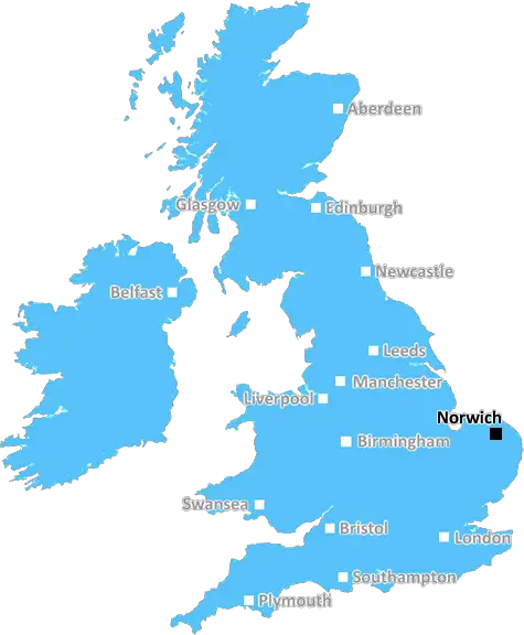
Norwich (NR15)
The NR15 postcode area is located in the Norwich postcode town region, within the county of Norfolk, and contains a total of 681 individual postcodes.
There are 98 electoral wards in the NR15 postcode area, including Attleborough, Beccles, Bungay, Cromer, Dereham, Fakenham, Great Yarmouth, Holt, Lowestoft, Melton Constable, North Walsham, Norwich, Sheringham, Walsingham, Wells-Next-The-Sea, Wymondham which come under the local authority of the South Norfolk Council.
Combining the whole postcode region, 26% of people in NR15 are classed as having an AB social grade, (i.e. 'white-collar' middle-upper class), compared to 27% across the UK.
This does not mean that the people of NR15 are poorer than other areas, but it may give an indication that there are areas of deprivation.
The NR15 postcode is located in the Norwich district of Norfolk in England. It is an area that covers approximately 34 square miles, taking in the various North Norfolk villages of Hempnall, Woodton, Forncett, Tivetshall, Morley, Saxlingham, Tharston, Hapton, Loddon, Brooke, Carleton Rode, Chedgrave, Gillingham, and Tasburgh.
The NR15 postcode has a population of around 16,000 people, with many of the inhabitants young and active: the area is populated with singles and couples in their 30s, 40s, and 50s looking to settle down and put down roots.
The area has proximity to the city of Norwich, making it an ideal spot for commuters. It is also popular with families looking for an affordable area in which to live, as house prices remain at a lower level here than other cities, meaning parents can easily find a place for their growing households in the NR15 postcode.
The region is home to a number of fine schools, offering both education and childcare for parents with children, and also includes many historic villages which offer a host of exciting activities such as visitors centres, pubs, cafes and outdoor activities.
The NR15 postcode has a few great pubs, shops and cafes which people can relax and enjoy, while there are a range of shops and supermarkets catering for everyday needs.
The district is well connected with good transport links, making it easy to travel to destinations across Norfolk, as well as London and Cambridge. There is also good access to the M11 motorway and Norwich Airport, making it a great spot for those who need to travel further afield.
The area's leisure activities include walks and cycle rides around the local countryside, exploring the various villages or visiting the Broads National Park. There are also plenty of options for children in the form of play areas, football pitches and outdoor spaces for them to explore.
Finally, the NR15 postcode is home to one of the most beautiful and diverse nature reserves in England, known as the Strumpshaw Fen Local Nature Reserve, which provides a sanctuary for over 3,200 species of wildlife. There are many other parks in the area that offer great recreational opportunities such as Tabley Wood, Hobo Wood and Buxton Wood.

Demographics
Norfolk

NR15 is located in the county of Norfolk, in England.
Norfolk has a total population of 892,900, making it the 25th largest county in the UK.
Norfolk has a total area of 2080 square miles, and a population density of 165 people per square kilometre. For comparison, Greater London has a density of 5,618 people/km2.
| Outward Code | NR15 |
| Postal Town | Norwich |
| MSOA Name | South Norfolk 006 |
| LSOA Name | South Norfolk 006B |
| County | Norfolk |
| Region | Norfolk |
| Country | England |
| Local Authority | South Norfolk |
| Area Classification | Mainly Rural (rural including hub towns >=80%) |
NR15 Electoral Wards
The postal region of NR15, includes the local towns, villages, electoral wards and stations of:
Dig even deeper into the NR15 postcode by clicking on a postcode below:
Click on an outward postal code below for more information about the area. Each 'outward' postcode give you a comprehensive list of all postcodes within the outward code area (NR) and estimated address.
Click on an 'outward' code for more information. For example, the outward postcode page 'EC2M' will give you an alphabetical list covering all postcodes located in the region, from 'EC2M 1BB' through to 'EC2M 7YA'.
Chris H
Sunday, April 7, 2024
We don't have any views of NR15 right now. If you live in NR15 or have visited it, please help us to help others by telling others what you think of this neighbourhood.
Add your view of NR15
People need your local expertise. If you live in NR15 or have first-hand knowledge of the neighbourhood, please consider sharing your views. It's completely anonymous - all we ask is for your initials.
Please tell us what you like about the NR15 postcode area, what you don't like, and what it's like to live or work here.
| LOCAL AMENITIES | |
| FAMILY FRIENDLY | |
| PARKING | |
| GREEN SPACES |
Local News Norfolk
Ipswich players 'full of determination' for derby
Blues boss Kieran McKenna hopes to make fans proud with a win at Norwich on Saturday.
BBC NewsWarning ahead of fresh round of train strikes
Passengers told to plan ahead as rail and underground services to be hit by weekend walkouts.
BBC News'Industrial revolution history needs rewriting'
Records reveal "Britain was a nation of makers" a century earlier than thought, says an expert.
BBC NewsChristians complete 120-mile Holy Week pilgrimage
Pilgrims set off from across the country and walk up to 20 miles a day to gather for Easter.
BBC NewsSeven arrested after protest at pork factory
Police deal with an ongoing incident, which the company describes as "criminal".
BBC NewsReopening of a 900-year-old landmark delayed again
Norwich Castle is undergoing a 15m refurbishment, partly funded by the National Lottery Heritage Fund.
BBC NewsReopening of a 900-year-old landmark delayed again
Norwich Castle is undergoing a 15m refurbishment, partly funded by the National Lottery Heritage Fund.
BBC NewsThe Great Escapee memento found in a cupboard
A Gresham School swagger stick owned by a wartime escapee is found in an airing cupboard.
BBC NewsFrom the Postcode Area blog

Deciphering Crime Rates - a Deep Dive Into UK Postcode Analysis
Ever wondered about the crime rate in your UK postcode? You're not alone. We've dug deep into the data, uncovering trends and patterns that'll make your head spin.

Death of the High Street?
The BBC reports that despite councils' attempts to kurb them, the UK's high streets have seen a huge growth in fast food outlets. Could this mark the death knell for the Great British high street, and what can we do about it to halt its decline?

Discrimination by Postcode
You really couldn't make it up, could you? Some of the country's most vulnerable people are missing out on their weekly £25 Cold Weather Payment, just because the system that's in operation is discriminating against them because payments are based on postcode, rather than geographic location.

The Redesign is Underway
Well, the current website was absolutely in dire need of a good redesign - from the ground up. So I set out to pull it all apart and get it up and running again to become the most comprehensive guide to every postcode in the UK. And it's been a long, tough job from start to finish - and quite possibly the biggest project I've ever undertaken.
SOCIAL GRADES
According to census records, 26% of people here have a social grade of AB (highest), compared to the national average of 27%.