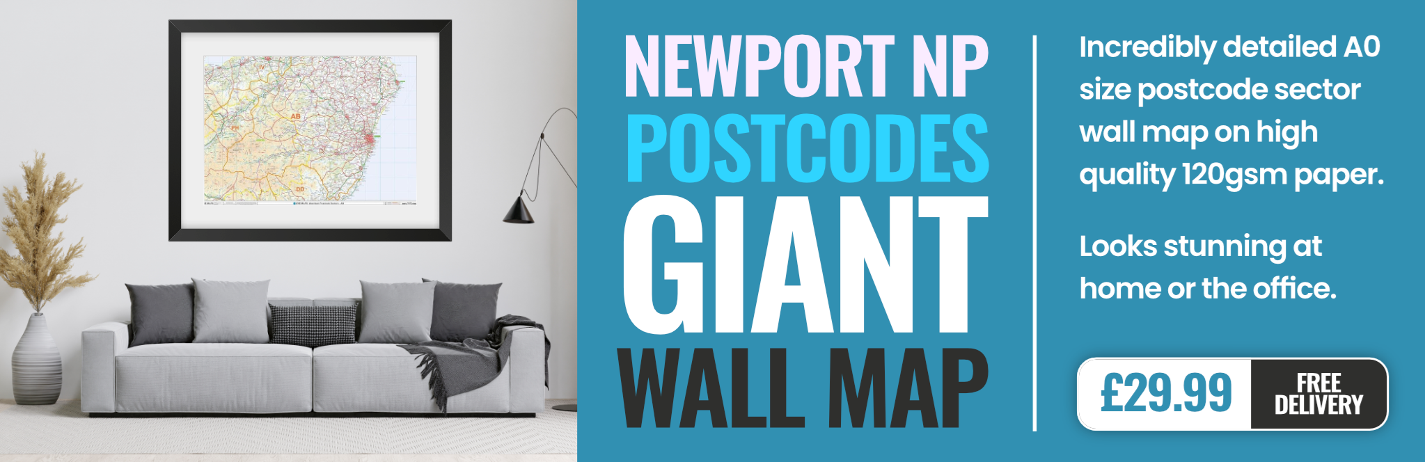
newport NP23 Postcodes
Spending a fortune on conveyancing?

Compare instant, low-cost online quotes from trusted conveyancing solicitors.
Backed by experts, our no-obligation service searches through the best conveyancing quotes on the market to save you time and money.
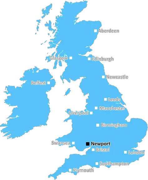
Newport (NP23)
The NP23 postcode area is located in the Newport postcode town region, within the county of Blaenau Gwent, and contains a total of 984 individual postcodes.
There are 35 electoral wards in the NP23 postcode area, including Abergavenny, Abertillery, Blackwood, Caldicot, Chepstow, Crickhowell, Cwmbran, Ebbw Vale, Monmouth, New Tredegar, Newport, Pontypool, Tredegar, Usk which come under the local authority of the Blaenau Gwent Council.
Combining the whole postcode region, 10% of people in NP23 are classed as having an AB social grade, (i.e. 'white-collar' middle-upper class), compared to 27% across the UK.
This does not mean that the people of NP23 are poorer than other areas, but it may give an indication that there are areas of deprivation.
The NP23 postcode covers the eastern part of the city of Newport in Wales. It includes the areas of Pillgwenlly, Somerton, Graig, Beechwood, Allt-yr-yn, Langstone, St Julian's, Alway, Lliswerry and parts of Marshfield. The postcode is served by the Royal Mail Newport Delivery Office.
Most of the postcode district is located in the Newport ward in the local authority of Newport City Council and partly in the Marshfield Ward in Monmouthshire Council. It has a population of over 8,000 people and covers a total area of 5.39 square miles.
Pillgwenlly is the main commercial area of the postcode and has lots of shops, pubs and restaurants. The area also has many services, such as a post office, chemist, dry cleaner and optician.
The area is known for its recreational facilities, with parks, a leisure centre and a golf course. There is also an arts and culture scene, with an art gallery and theatre.
The area is well connected, with good transport links both to the city centre and out of Newport. It has a railway station which provides regular services to London and other major cities, as well as local buses to nearby towns and cities.
Education wise, there are six schools in the postcode district, including two primaries, two secondary schools and two special schools. There is also a college and further education centre in the area.
The area is home to several churches and places of worship, including St Julian's Church, Bethel Baptist Chapel and St Paul's Church.
The postcode district has a good mix of housing options, with a mix of modern and traditional terraced housing, along with small �scale developments such as small apartment blocks and flats.
NP23 is perfectly situated to experience the best of Newport. It is within easy reach of the city centre and is close to the beach, the M4 motorway and the Brecon Beacons National Park. It is a popular area for families and young professionals alike, and has a friendly local community.

Demographics
Blaenau Gwent

NP23 is located in the county of Blaenau Gwent, in Wales.
Blaenau Gwent has a total population of 69,600, making it the 21st largest county in the UK.
Blaenau Gwent has a total area of 42 square miles, and a population density of 640 people per square kilometre. For comparison, Greater London has a density of 5,618 people/km2.
| Outward Code | NP23 |
| Postal Town | Newport |
| MSOA Name | Blaenau Gwent 002 |
| LSOA Name | Blaenau Gwent 002C |
| County | Blaenau Gwent |
| Region | Blaenau Gwent |
| Country | Wales |
| Local Authority | Blaenau Gwent |
| Area Classification | Unclassified |
NP23 Electoral Wards
The postal region of NP23, includes the local towns, villages, electoral wards and stations of:
Dig even deeper into the NP23 postcode by clicking on a postcode below:
Click on an outward postal code below for more information about the area. Each 'outward' postcode give you a comprehensive list of all postcodes within the outward code area (NP) and estimated address.
Click on an 'outward' code for more information. For example, the outward postcode page 'EC2M' will give you an alphabetical list covering all postcodes located in the region, from 'EC2M 1BB' through to 'EC2M 7YA'.
Chris H
Wednesday, April 17, 2024
We don't have any views of NP23 right now. If you live in NP23 or have visited it, please help us to help others by telling others what you think of this neighbourhood.
Add your view of NP23
People need your local expertise. If you live in NP23 or have first-hand knowledge of the neighbourhood, please consider sharing your views. It's completely anonymous - all we ask is for your initials.
Please tell us what you like about the NP23 postcode area, what you don't like, and what it's like to live or work here.
| LOCAL AMENITIES | |
| FAMILY FRIENDLY | |
| PARKING | |
| GREEN SPACES |
From the Postcode Area blog

Deciphering Crime Rates - a Deep Dive Into UK Postcode Analysis
Ever wondered about the crime rate in your UK postcode? You're not alone. We've dug deep into the data, uncovering trends and patterns that'll make your head spin.

Death of the High Street?
The BBC reports that despite councils' attempts to kurb them, the UK's high streets have seen a huge growth in fast food outlets. Could this mark the death knell for the Great British high street, and what can we do about it to halt its decline?

Discrimination by Postcode
You really couldn't make it up, could you? Some of the country's most vulnerable people are missing out on their weekly £25 Cold Weather Payment, just because the system that's in operation is discriminating against them because payments are based on postcode, rather than geographic location.

The Redesign is Underway
Well, the current website was absolutely in dire need of a good redesign - from the ground up. So I set out to pull it all apart and get it up and running again to become the most comprehensive guide to every postcode in the UK. And it's been a long, tough job from start to finish - and quite possibly the biggest project I've ever undertaken.
SOCIAL GRADES
According to census records, 10% of people here have a social grade of AB (highest), compared to the national average of 27%.