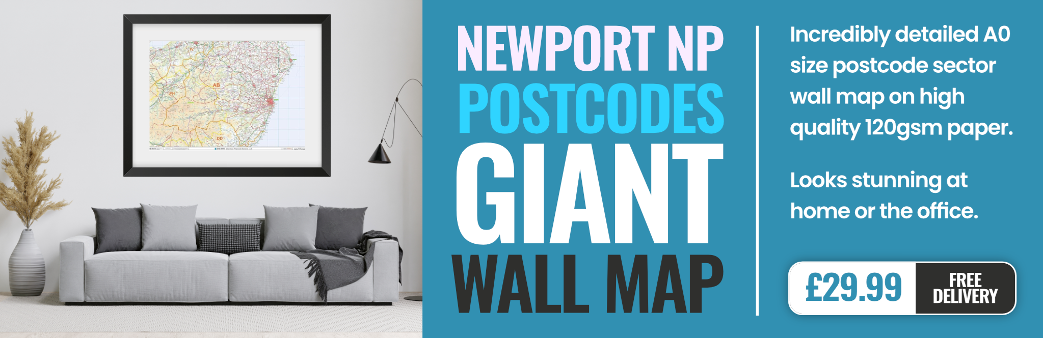
newport NP20 Postcodes
Spending a fortune on conveyancing?

Compare instant, low-cost online quotes from trusted conveyancing solicitors.
Backed by experts, our no-obligation service searches through the best conveyancing quotes on the market to save you time and money.
Newport (NP20)
The NP20 postcode area is located in the Newport postcode town region, within the county of Gwent, and contains a total of 1693 individual postcodes.
There are 32 electoral wards in the NP20 postcode area, including Abergavenny, Abertillery, Blackwood, Caldicot, Chepstow, Crickhowell, Cwmbran, Ebbw Vale, Monmouth, New Tredegar, Newport, Pontypool, Tredegar, Usk which come under the local authority of the Newport Council.
Combining the whole postcode region, 15% of people in NP20 are classed as having an AB social grade, (i.e. 'white-collar' middle-upper class), compared to 27% across the UK.
This does not mean that the people of NP20 are poorer than other areas, but it may give an indication that there are areas of deprivation.
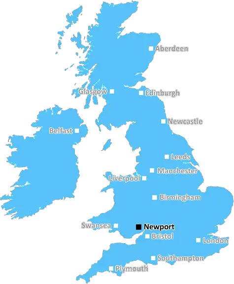
The Newport district is located in the South Wales Valleys. It is in an area known as the Caldicot Levels, surrounding the River Usk. The postcode for this area is NP20.
The district's main town is Newport. It is a vibrant, modern city located close to the M4 motorway, providing easy access to Bristol, Cardiff, and the West Country. It has undergone major regeneration in recent years, with significant investment from the public and private sector. This has enabled the town's revival as a business and leisure destination.
The NP20 postcode area includes the suburbs of Bettws, Crindau, Gaer, Langstone, Lliswerry, Nash, Newport city centre, St Julians, Tredegar Park, Wolfscastle and Alway.
Bettws is a riverside village that has a history of coal mining and farming. Crindau is a small village located on the outskirts of Newport and has a history of light industry, including the manufacture of porcelain and pottery. Gaer is located south of Newport, near the banks of the River Usk, and is a suburb of the city. Langstone is located along the banks of the River Usk and is known for its nature reserve and boating lake. Lliswerry is a residential area of Newport located close to the M4 motorway. Nash is mainly a residential area located between the city centre and the motorway.
St Julians is a district of Newport located to the east of the city centre. It is renowned for its large ethnic minority population and lively cultural scene. Tredegar Park is a large public park located next to the River Usk. It is renowned for its historic buildings, including the Tredegar House manor and the Park Lodge mansion. Wolfscastle is a small village located north of Newport, surrounded by farmland with views of the Usk valley. Alway is a district of Newport and is home to the All Saints Church.
The NP20 postcode area is also home to a number of major employers in the area. These include the University of South Wales, the Welsh National Opera, and the Wales Millennium Centre. It also provides a wealth of local amenities, including shops, restaurants, entertainment venues, cinemas and a theatre.

Demographics
Gwent

NP20 is located in the county of Gwent, in Wales.
Gwent has a total population of 0, making it the largest county in the UK.
Gwent has a total area of square miles, and a population density of people per square kilometre. For comparison, Greater London has a density of 5,618 people/km2.
| Outward Code | NP20 |
| Postal Town | Newport |
| MSOA Name | Newport 014 |
| LSOA Name | Newport 014B |
| County | Gwent |
| Region | Gwent |
| Country | Wales |
| Local Authority | Newport |
| Area Classification | Unclassified |
NP20 Electoral Wards
The postal region of NP20, includes the local towns, villages, electoral wards and stations of:
Dig even deeper into the NP20 postcode by clicking on a postcode below:
Click on an outward postal code below for more information about the area. Each 'outward' postcode give you a comprehensive list of all postcodes within the outward code area (NP) and estimated address.
Click on an 'outward' code for more information. For example, the outward postcode page 'EC2M' will give you an alphabetical list covering all postcodes located in the region, from 'EC2M 1BB' through to 'EC2M 7YA'.
Chris H
Monday, April 8, 2024
We don't have any views of NP20 right now. If you live in NP20 or have visited it, please help us to help others by telling others what you think of this neighbourhood.
Add your view of NP20
People need your local expertise. If you live in NP20 or have first-hand knowledge of the neighbourhood, please consider sharing your views. It's completely anonymous - all we ask is for your initials.
Please tell us what you like about the NP20 postcode area, what you don't like, and what it's like to live or work here.
| LOCAL AMENITIES | |
| FAMILY FRIENDLY | |
| PARKING | |
| GREEN SPACES |
From the Postcode Area blog

Deciphering Crime Rates - a Deep Dive Into UK Postcode Analysis
Ever wondered about the crime rate in your UK postcode? You're not alone. We've dug deep into the data, uncovering trends and patterns that'll make your head spin.

Death of the High Street?
The BBC reports that despite councils' attempts to kurb them, the UK's high streets have seen a huge growth in fast food outlets. Could this mark the death knell for the Great British high street, and what can we do about it to halt its decline?

Discrimination by Postcode
You really couldn't make it up, could you? Some of the country's most vulnerable people are missing out on their weekly £25 Cold Weather Payment, just because the system that's in operation is discriminating against them because payments are based on postcode, rather than geographic location.

The Redesign is Underway
Well, the current website was absolutely in dire need of a good redesign - from the ground up. So I set out to pull it all apart and get it up and running again to become the most comprehensive guide to every postcode in the UK. And it's been a long, tough job from start to finish - and quite possibly the biggest project I've ever undertaken.
SOCIAL GRADES
According to census records, 15% of people here have a social grade of AB (highest), compared to the national average of 27%.