manchester M90 Postcodes
Spending a fortune on conveyancing?

Compare instant, low-cost online quotes from trusted conveyancing solicitors.
Backed by experts, our no-obligation service searches through the best conveyancing quotes on the market to save you time and money.
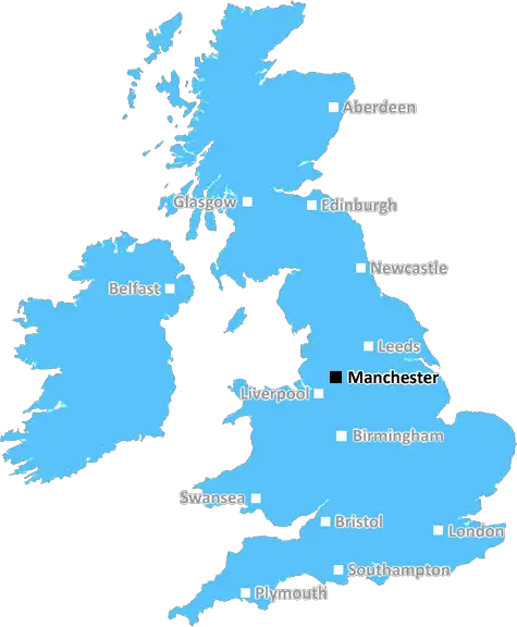
Manchester (M90)
The M90 postcode area is located in the Manchester postcode town region, within the county of Greater Manchester, and contains a total of 241 individual postcodes.
There are 1 electoral wards in the M90 postcode area, including Manchester, Sale, Salford which come under the local authority of the Manchester Council.
Combining the whole postcode region, 10% of people in M90 are classed as having an AB social grade, (i.e. 'white-collar' middle-upper class), compared to 27% across the UK.
This does not mean that the people of M90 are poorer than other areas, but it may give an indication that there are areas of deprivation.
M90 is a postcode district in the Greater Manchester district, located in the north of England. It makes up part of the Oldham post town and covers most of the Middleton area, including Middleton town, Middleton Junction, Alkrington, Langley and Boarshaw.
The M90 postcode district is home to Middleton, a small town which was formed in the Middle Ages and has grown to have a population of over 45000 people. It is located just north of Manchester city centre and can easily be accessed via the M60 motorway or public transport. The area is largely residential and is host to numerous green spaces, including sites such as William Scholes and Mour Lane Parks, which are enjoyed regularly by locals.
There are numerous educational facilities located in the area, including the well established Middleton Technology School and a number of primary schools located in Middleton. Alkrington has also been the chosen location for a local college, St Thomas More Roman Catholic College.
Entertainment is provided by the nearby Middleton Arena, home to numerous shows and events, as well as having a caf� and open gym. Other leisure activities in the area include visiting one of the two golf courses and trying your luck on the nearby Rochdale Canal.
The area is also home to plenty of shopping opportunities, with two major shopping centres hosting numerous independent and chain stores catering to both high street fashion and products. There are also a number of independent shops that can be found throughout the area.
In terms of transport, the M60 motorway runs through the area, providing access to Manchester, Oldham, and other surrounding areas. In addition, there are also regular bus services and three train stations; Boarshaw, Moston, and Bowker Vale.
TheM90 postcode district has plenty to offer, from a great location, excellent educational and entertainment facilities, and comprehensive transport links, making it an ideal place to live.

Demographics
Greater Manchester

M90 is located in the county of Greater Manchester, in England.
Greater Manchester has a total population of 2,782,100, making it the 3rd largest county in the UK.
Greater Manchester has a total area of 492 square miles, and a population density of 2180 people per square kilometre. For comparison, Greater London has a density of 5,618 people/km2.
| Outward Code | M90 |
| Postal Town | Manchester |
| MSOA Name | Manchester 053 |
| LSOA Name | Manchester 053D |
| County | Greater Manchester |
| Region | Greater Manchester |
| Country | England |
| Local Authority | Manchester |
| Area Classification | Urban with Major Conurbation |
M90 Electoral Wards
The postal region of M90, includes the local towns, villages, electoral wards and stations of:
Dig even deeper into the M90 postcode by clicking on a postcode below:
Click on an outward postal code below for more information about the area. Each 'outward' postcode give you a comprehensive list of all postcodes within the outward code area (M) and estimated address.
Click on an 'outward' code for more information. For example, the outward postcode page 'EC2M' will give you an alphabetical list covering all postcodes located in the region, from 'EC2M 1BB' through to 'EC2M 7YA'.
Chris H
Sunday, April 7, 2024
We don't have any views of M90 right now. If you live in M90 or have visited it, please help us to help others by telling others what you think of this neighbourhood.
Add your view of M90
People need your local expertise. If you live in M90 or have first-hand knowledge of the neighbourhood, please consider sharing your views. It's completely anonymous - all we ask is for your initials.
Please tell us what you like about the M90 postcode area, what you don't like, and what it's like to live or work here.
| LOCAL AMENITIES | |
| FAMILY FRIENDLY | |
| PARKING | |
| GREEN SPACES |
From the Postcode Area blog

Deciphering Crime Rates - a Deep Dive Into UK Postcode Analysis
Ever wondered about the crime rate in your UK postcode? You're not alone. We've dug deep into the data, uncovering trends and patterns that'll make your head spin.

Death of the High Street?
The BBC reports that despite councils' attempts to kurb them, the UK's high streets have seen a huge growth in fast food outlets. Could this mark the death knell for the Great British high street, and what can we do about it to halt its decline?

Discrimination by Postcode
You really couldn't make it up, could you? Some of the country's most vulnerable people are missing out on their weekly £25 Cold Weather Payment, just because the system that's in operation is discriminating against them because payments are based on postcode, rather than geographic location.

The Redesign is Underway
Well, the current website was absolutely in dire need of a good redesign - from the ground up. So I set out to pull it all apart and get it up and running again to become the most comprehensive guide to every postcode in the UK. And it's been a long, tough job from start to finish - and quite possibly the biggest project I've ever undertaken.
SOCIAL GRADES
According to census records, 10% of people here have a social grade of AB (highest), compared to the national average of 27%.