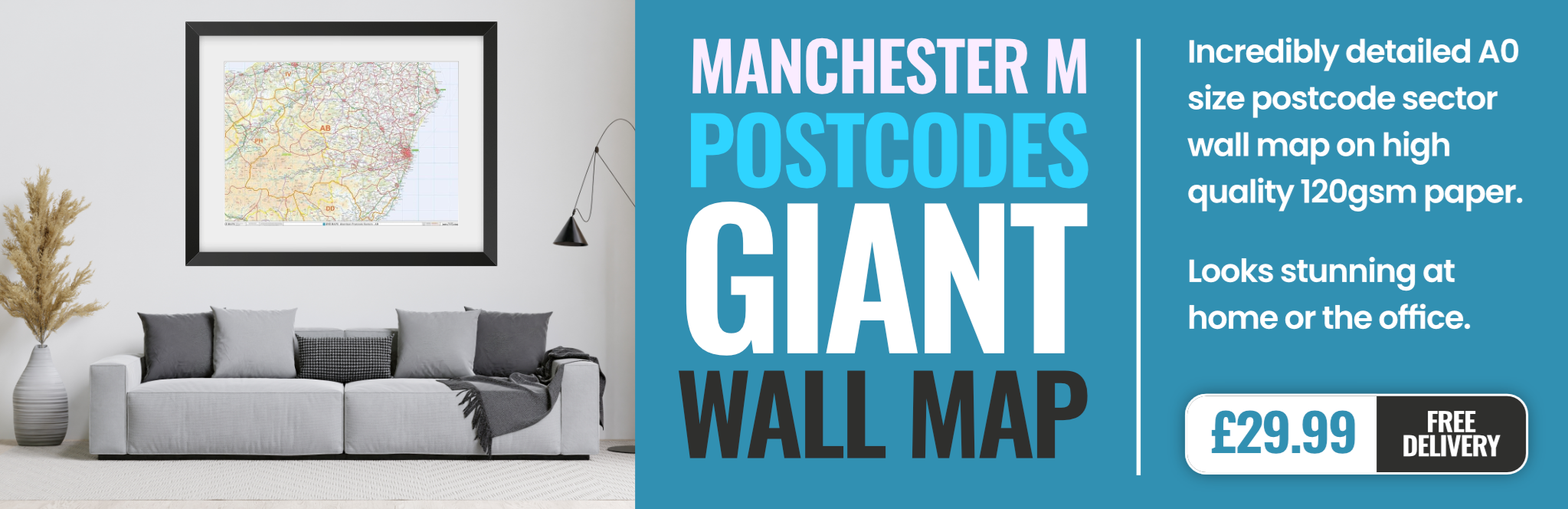
manchester M23 Postcodes
Spending a fortune on conveyancing?

Compare instant, low-cost online quotes from trusted conveyancing solicitors.
Backed by experts, our no-obligation service searches through the best conveyancing quotes on the market to save you time and money.
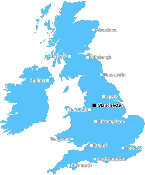
Manchester (M23)
The M23 postcode area is located in the Manchester postcode town region, within the county of Greater Manchester, and contains a total of 1289 individual postcodes.
There are 6 electoral wards in the M23 postcode area, including Manchester, Sale, Salford which come under the local authority of the Manchester Council.
Combining the whole postcode region, 17% of people in M23 are classed as having an AB social grade, (i.e. 'white-collar' middle-upper class), compared to 27% across the UK.
This does not mean that the people of M23 are poorer than other areas, but it may give an indication that there are areas of deprivation.
M23 is a postcode district in the M postcode area, which covers most of the southern suburbs of Greater Manchester. The district is bounded by the M60 motorway to the west, the M66 motorway to the east, the M61 motorway to the north and the M6 motorway to the south.
The M23 postcode district serves the communities of Gatley, Cheadle, Adswood, Cheadle Hulme, Didsbury, East Didsbury, Burnage, Withington, West Didsbury, Chorlton-Cum-Hardy, Northern Moor, Wythenshawe and Northenden.
Major roads that pass through the district include the M56, B5167, A34 and A560.
The major bus route servicing the M23 postcode district is the 125, which is operated by Stagecoach Manchester, connecting Didsbury and Northern Moor to Manchester Piccadilly railway station.
Within the M23 postcode district there are two Metrolink tram stops, East Didsbury and Didsbury Village, providing easy connectivity to Manchester city centre and other local suburbs.
The postcode district contains the Manchester Airport, which offers flights to destinations worldwide.
M23 is popular with commuters thanks to its many transport links to Manchester and other towns, along with its close proximity to leisure attractions such as Dunham Massey Park and Sale Water Park.
Property prices in the M23 postcode district vary, reflecting the diversity of the area. There is a range of modern and period homes available, from studio flats and terraced houses to detached properties and luxury apartments.
Local amenities in M23 include numerous shops and supermarkets, plus churches, schools and healthcare services. It is also home to a few pubs and a variety of restaurants.
The postcode district is home to a number of popular sports clubs, such as Manchester City FC, Manchester United FC and Sale Sharks Rugby Union Club. In addition, the M23 is well served by leisure complexes, with the Trafford Centre being popular amongst shoppers.

Demographics
Greater Manchester

M23 is located in the county of Greater Manchester, in England.
Greater Manchester has a total population of 2,782,100, making it the 3rd largest county in the UK.
Greater Manchester has a total area of 492 square miles, and a population density of 2180 people per square kilometre. For comparison, Greater London has a density of 5,618 people/km2.
| Outward Code | M23 |
| Postal Town | Manchester |
| MSOA Name | Manchester 048 |
| LSOA Name | Manchester 048D |
| County | Greater Manchester |
| Region | Greater Manchester |
| Country | England |
| Local Authority | Manchester |
| Area Classification | Urban with Major Conurbation |
M23 Electoral Wards
The postal region of M23, includes the local towns, villages, electoral wards and stations of:
Dig even deeper into the M23 postcode by clicking on a postcode below:
Click on an outward postal code below for more information about the area. Each 'outward' postcode give you a comprehensive list of all postcodes within the outward code area (M) and estimated address.
Click on an 'outward' code for more information. For example, the outward postcode page 'EC2M' will give you an alphabetical list covering all postcodes located in the region, from 'EC2M 1BB' through to 'EC2M 7YA'.
Chris H
Saturday, April 6, 2024
We don't have any views of M23 right now. If you live in M23 or have visited it, please help us to help others by telling others what you think of this neighbourhood.
Add your view of M23
People need your local expertise. If you live in M23 or have first-hand knowledge of the neighbourhood, please consider sharing your views. It's completely anonymous - all we ask is for your initials.
Please tell us what you like about the M23 postcode area, what you don't like, and what it's like to live or work here.
| LOCAL AMENITIES | |
| FAMILY FRIENDLY | |
| PARKING | |
| GREEN SPACES |
From the Postcode Area blog

Deciphering Crime Rates - a Deep Dive Into UK Postcode Analysis
Ever wondered about the crime rate in your UK postcode? You're not alone. We've dug deep into the data, uncovering trends and patterns that'll make your head spin.

Death of the High Street?
The BBC reports that despite councils' attempts to kurb them, the UK's high streets have seen a huge growth in fast food outlets. Could this mark the death knell for the Great British high street, and what can we do about it to halt its decline?

Discrimination by Postcode
You really couldn't make it up, could you? Some of the country's most vulnerable people are missing out on their weekly £25 Cold Weather Payment, just because the system that's in operation is discriminating against them because payments are based on postcode, rather than geographic location.

The Redesign is Underway
Well, the current website was absolutely in dire need of a good redesign - from the ground up. So I set out to pull it all apart and get it up and running again to become the most comprehensive guide to every postcode in the UK. And it's been a long, tough job from start to finish - and quite possibly the biggest project I've ever undertaken.
SOCIAL GRADES
According to census records, 17% of people here have a social grade of AB (highest), compared to the national average of 27%.