manchester M21 Postcodes
Spending a fortune on conveyancing?

Compare instant, low-cost online quotes from trusted conveyancing solicitors.
Backed by experts, our no-obligation service searches through the best conveyancing quotes on the market to save you time and money.
Manchester (M21)
The M21 postcode area is located in the Manchester postcode town region, within the county of Greater Manchester, and contains a total of 1695 individual postcodes.
There are 5 electoral wards in the M21 postcode area, including Manchester, Sale, Salford which come under the local authority of the Manchester Council.
Combining the whole postcode region, 36% of people in M21 are classed as having an AB social grade, (i.e. 'white-collar' middle-upper class), compared to 27% across the UK.
This does not mean that the people of M21 are wealthier - or higher class - than average, but it can be an indication that the area may be prospering and desirable to live in.
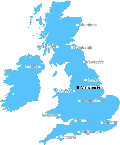
The M21 postcode is an area of Manchester, located in the northwest of the city and covers the inner suburbs of Chorlton-on-Medlock, Moss Side, Hulme, Old Trafford and Ardwick. It has an approximate population of 60,000 people and is incorporated into the postal districts of Longsight and Fallowfield.
M21 is a melting pot of cultures with a diverse mix of people and different religions. The area has a vibrant and eclectic mix of restaurants, shops, businesses and parks that make it a desirable area to live and work. In recent years, it has seen a dramatic change in its demographics as new residents from all over the world have moved to the area.
The area is served by the Mancunian Way motorway, with Manchester Piccadilly railway station being within the national rail network. There are several major bus routes and regular Metrolink services providing excellent transport links into the city centre.
There are many green spaces situated in and around the postcode, including Kersal Moor, Horsfield Reserve, Longford Park and Barlow Moor Park. The area is also home to a number of schools, including the University of Manchester, Manchester College and the Manchester High School for Girls.
The Arndale Centre is located in the heart of M21 and features a large shopping mall, eateries and other attractions. The centre is also the focal point of the city's lively nightlife, with a number of popular bars, pubs and nightclubs from which to choose. In addition, it is the venue for many of the city's major festivals, including Manchester Pride, the Manchester International Festival and the Chinese New Year celebrations.
The area is also home to iconic Manchester landmarks, like Old Trafford football stadium, the Museum of Science and Industry, and world-renowned concert venue, the Manchester Arena. These attractions are within easy reach of all of the postcode's diverse, multi-cultural neighbourhoods
M21 is an area that has seen significant investment in recent years. There are many refurbished streets and public spaces, as well as a collection of high-end and modern residences available for rent or purchase. Its blend of culture, history, and modernity make it a unique and exciting area to live in and be part of.

Demographics
Greater Manchester

M21 is located in the county of Greater Manchester, in England.
Greater Manchester has a total population of 2,782,100, making it the 3rd largest county in the UK.
Greater Manchester has a total area of 492 square miles, and a population density of 2180 people per square kilometre. For comparison, Greater London has a density of 5,618 people/km2.
| Outward Code | M21 |
| Postal Town | Manchester |
| MSOA Name | Manchester 033 |
| LSOA Name | Manchester 033A |
| County | Greater Manchester |
| Region | Greater Manchester |
| Country | England |
| Local Authority | Manchester |
| Area Classification | Urban with Major Conurbation |
M21 Electoral Wards
The postal region of M21, includes the local towns, villages, electoral wards and stations of:
Dig even deeper into the M21 postcode by clicking on a postcode below:
Click on an outward postal code below for more information about the area. Each 'outward' postcode give you a comprehensive list of all postcodes within the outward code area (M) and estimated address.
Click on an 'outward' code for more information. For example, the outward postcode page 'EC2M' will give you an alphabetical list covering all postcodes located in the region, from 'EC2M 1BB' through to 'EC2M 7YA'.
Chris H
Saturday, April 6, 2024
We don't have any views of M21 right now. If you live in M21 or have visited it, please help us to help others by telling others what you think of this neighbourhood.
Add your view of M21
People need your local expertise. If you live in M21 or have first-hand knowledge of the neighbourhood, please consider sharing your views. It's completely anonymous - all we ask is for your initials.
Please tell us what you like about the M21 postcode area, what you don't like, and what it's like to live or work here.
| LOCAL AMENITIES | |
| FAMILY FRIENDLY | |
| PARKING | |
| GREEN SPACES |
From the Postcode Area blog

Deciphering Crime Rates - a Deep Dive Into UK Postcode Analysis
Ever wondered about the crime rate in your UK postcode? You're not alone. We've dug deep into the data, uncovering trends and patterns that'll make your head spin.

Death of the High Street?
The BBC reports that despite councils' attempts to kurb them, the UK's high streets have seen a huge growth in fast food outlets. Could this mark the death knell for the Great British high street, and what can we do about it to halt its decline?

Discrimination by Postcode
You really couldn't make it up, could you? Some of the country's most vulnerable people are missing out on their weekly £25 Cold Weather Payment, just because the system that's in operation is discriminating against them because payments are based on postcode, rather than geographic location.

The Redesign is Underway
Well, the current website was absolutely in dire need of a good redesign - from the ground up. So I set out to pull it all apart and get it up and running again to become the most comprehensive guide to every postcode in the UK. And it's been a long, tough job from start to finish - and quite possibly the biggest project I've ever undertaken.
SOCIAL GRADES
According to census records, 36% of people here have a social grade of AB (highest), compared to the national average of 27%.