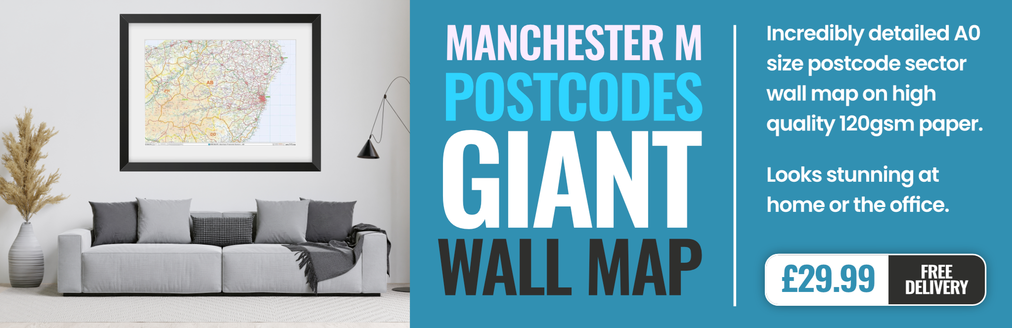
manchester M20 Postcodes
Spending a fortune on conveyancing?

Compare instant, low-cost online quotes from trusted conveyancing solicitors.
Backed by experts, our no-obligation service searches through the best conveyancing quotes on the market to save you time and money.
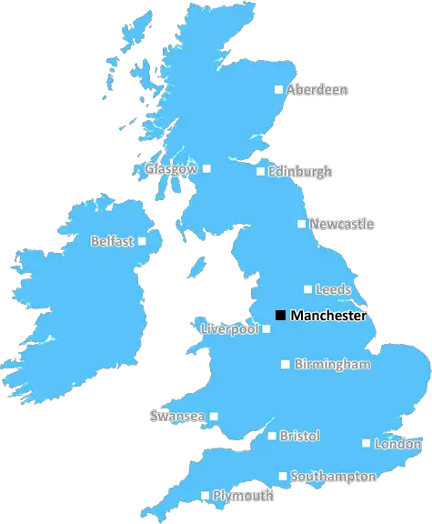
Manchester (M20)
The M20 postcode area is located in the Manchester postcode town region, within the county of Greater Manchester, and contains a total of 2408 individual postcodes.
There are 6 electoral wards in the M20 postcode area, including Manchester, Sale, Salford which come under the local authority of the Manchester Council.
Combining the whole postcode region, 37% of people in M20 are classed as having an AB social grade, (i.e. 'white-collar' middle-upper class), compared to 27% across the UK.
This does not mean that the people of M20 are wealthier - or higher class - than average, but it can be an indication that the area may be prospering and desirable to live in.
M20 is an affluent postcode area located in south Manchester, in the northwest of England. It is made up of affluent suburbs including Didsbury, Withington, West Didsbury, Chorlton-cum-Hardy, Burnage and parts of Fallowfield.
M20 offers a variety of amenities, from supermarkets, banks, boutique shops and restaurants to theatres, parks and gardens. There is a wide range of sport and fitness activities available too, such as golf, tennis, squash, football and badminton.
In terms of education, the area is renowned for its independent schools, with many established and respected institutions in the area, including Manchester Grammar School, Withington Girls' School and Chorlton High School.
M20 is easily accessed via the A34, A5103 and A6 roads and there are excellent public transport links, with well-served bus and tram routes. The M34 and M60 motorways are both within easy reach, making the area highly accessible from further away destinations.
For those who love the outdoors, there are plenty of nearby areas to explore, such as Longford Park, Heaton Park, Platt Fields Park, Fletcher Moss Botanical Garden and Chorlton Water Park. The nearby Peak District National Park and Snowdonia National Park are both great places for a day trip.
The dining options in M20 are also varied, with a mix of both modern and traditional restaurants, cafes and pubs, perfect for any occasion. From gastropubs and cocktail bars to vegan eateries and pizzerias, there's something for everyone.
Crime levels in the area are low and it is generally a safe area to live and raise a family. It is known to be a popular choice for families, couples and young professionals due to its high-quality housing, amenities and community spirit.

Demographics
Greater Manchester

M20 is located in the county of Greater Manchester, in England.
Greater Manchester has a total population of 2,782,100, making it the 3rd largest county in the UK.
Greater Manchester has a total area of 492 square miles, and a population density of 2180 people per square kilometre. For comparison, Greater London has a density of 5,618 people/km2.
| Outward Code | M20 |
| Postal Town | Manchester |
| MSOA Name | Manchester 038 |
| LSOA Name | Manchester 038D |
| County | Greater Manchester |
| Region | Greater Manchester |
| Country | England |
| Local Authority | Manchester |
| Area Classification | Urban with Major Conurbation |
M20 Electoral Wards
The postal region of M20, includes the local towns, villages, electoral wards and stations of:
Dig even deeper into the M20 postcode by clicking on a postcode below:
Click on an outward postal code below for more information about the area. Each 'outward' postcode give you a comprehensive list of all postcodes within the outward code area (M) and estimated address.
Click on an 'outward' code for more information. For example, the outward postcode page 'EC2M' will give you an alphabetical list covering all postcodes located in the region, from 'EC2M 1BB' through to 'EC2M 7YA'.
Chris H
Saturday, April 6, 2024
We don't have any views of M20 right now. If you live in M20 or have visited it, please help us to help others by telling others what you think of this neighbourhood.
Add your view of M20
People need your local expertise. If you live in M20 or have first-hand knowledge of the neighbourhood, please consider sharing your views. It's completely anonymous - all we ask is for your initials.
Please tell us what you like about the M20 postcode area, what you don't like, and what it's like to live or work here.
| LOCAL AMENITIES | |
| FAMILY FRIENDLY | |
| PARKING | |
| GREEN SPACES |
From the Postcode Area blog

Deciphering Crime Rates - a Deep Dive Into UK Postcode Analysis
Ever wondered about the crime rate in your UK postcode? You're not alone. We've dug deep into the data, uncovering trends and patterns that'll make your head spin.

Death of the High Street?
The BBC reports that despite councils' attempts to kurb them, the UK's high streets have seen a huge growth in fast food outlets. Could this mark the death knell for the Great British high street, and what can we do about it to halt its decline?

Discrimination by Postcode
You really couldn't make it up, could you? Some of the country's most vulnerable people are missing out on their weekly £25 Cold Weather Payment, just because the system that's in operation is discriminating against them because payments are based on postcode, rather than geographic location.

The Redesign is Underway
Well, the current website was absolutely in dire need of a good redesign - from the ground up. So I set out to pull it all apart and get it up and running again to become the most comprehensive guide to every postcode in the UK. And it's been a long, tough job from start to finish - and quite possibly the biggest project I've ever undertaken.
SOCIAL GRADES
According to census records, 37% of people here have a social grade of AB (highest), compared to the national average of 27%.