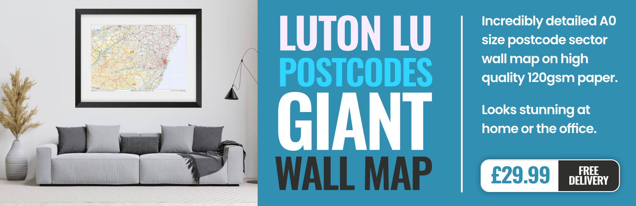
luton LU5 Postcodes
Spending a fortune on conveyancing?

Compare instant, low-cost online quotes from trusted conveyancing solicitors.
Backed by experts, our no-obligation service searches through the best conveyancing quotes on the market to save you time and money.
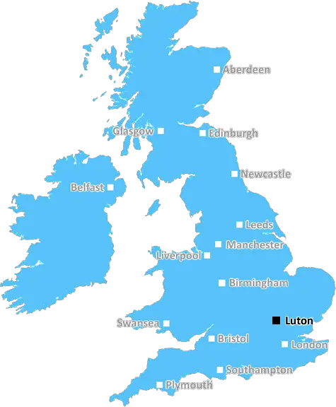
Luton (LU5)
The LU5 postcode area is located in the Luton postcode town region, within the county of Bedfordshire, and contains a total of 978 individual postcodes.
There are 23 electoral wards in the LU5 postcode area, including Dunstable, Leighton Buzzard, Luton which come under the local authority of the Central Bedfordshire Council.
Combining the whole postcode region, 19% of people in LU5 are classed as having an AB social grade, (i.e. 'white-collar' middle-upper class), compared to 27% across the UK.
This does not mean that the people of LU5 are poorer than other areas, but it may give an indication that there are areas of deprivation.
LU5 is a postcode district located in the Luton district of Bedfordshire, England. The postcode district is of a small area-wise size and covers primarily the small neighbourhood of Streatley.
The postcode district is surrounded by the postcode districts LU4 (to the east) and LU6 (to the west). It consists of a single post town, which is Luton in Bedfordshire county. The postcode district has a total of 1,360 residential and commercial properties as of December 2019, with residential properties making up most of the postcode district.
LU5 postcode district has an approximate population of 3,346, which is evenly distributed along the postcode district. As of the census of 2011, the area has a mean age of 40.1 years with the majority of the population being reported as White British (97.3%).
Streatley is the main village 18 miles from the centre of London. It's home to Streatley Youth and Community Centre and is located in a conservation area and surrounded by green belt and rolling countryside. Major roads in the district include the A5120, Leagrave Road and Luton Road. The postcode area is serviced by several bus routes including the 103, 104, and 105, and is well linked with Luton International Bus Station.
Various types of land and property are present in this postcode district such as private residential, industrial, recreational ground, public house, farmhouse, and vacant buildings. The postcode district is also home to Luton Sixth Form College, located just south of the area.
The postcode district has a range of shops and businesses, such as cafes, restaurant, takeaways, convenience stores, grocery stores, a library and many other businesses.
The postcode district is bounded to the north by Streatley Stream and to the south by Streatley Lane. It consists primarily of residential properties and hectares of arable farmland with large sections of woodland forming the boundary on the east side of the postcode district. The western boundary follows the A5120 road and Leagrave road to Leagrave High Street. It is also close to the M1 motorway and an easy accessible point for commuting to London.

Demographics
Bedfordshire

LU5 is located in the county of Bedfordshire, in England.
Bedfordshire has a total population of 664,500, making it the 36th largest county in the UK.
Bedfordshire has a total area of 477 square miles, and a population density of 537 people per square kilometre. For comparison, Greater London has a density of 5,618 people/km2.
| Outward Code | LU5 |
| Postal Town | Luton |
| MSOA Name | Central Bedfordshire 030 |
| LSOA Name | Central Bedfordshire 030B |
| County | Bedfordshire |
| Region | Bedfordshire |
| Country | England |
| Local Authority | Central Bedfordshire |
| Area Classification | Largely Rural (rural including hub towns 50-79%) |
LU5 Electoral Wards
The postal region of LU5, includes the local towns, villages, electoral wards and stations of:
Dig even deeper into the LU5 postcode by clicking on a postcode below:
Click on an outward postal code below for more information about the area. Each 'outward' postcode give you a comprehensive list of all postcodes within the outward code area (LU) and estimated address.
Click on an 'outward' code for more information. For example, the outward postcode page 'EC2M' will give you an alphabetical list covering all postcodes located in the region, from 'EC2M 1BB' through to 'EC2M 7YA'.
Chris H
Saturday, April 6, 2024
We don't have any views of LU5 right now. If you live in LU5 or have visited it, please help us to help others by telling others what you think of this neighbourhood.
Add your view of LU5
People need your local expertise. If you live in LU5 or have first-hand knowledge of the neighbourhood, please consider sharing your views. It's completely anonymous - all we ask is for your initials.
Please tell us what you like about the LU5 postcode area, what you don't like, and what it's like to live or work here.
| LOCAL AMENITIES | |
| FAMILY FRIENDLY | |
| PARKING | |
| GREEN SPACES |
Local News Bedfordshire
Four-year-old girl and mum missing, say police
The pair were last seen at their home in February and have links to Birmingham, police say.
BBC NewsDJ Greg James apologises for glass eye comment
James and Chris Smith say sorry for saying a glass eye would make a book character "more revolting".
BBC NewsMan arrested in 16,000 phone fraud probe
At least three people are talked into sending parcels of cash through the post.
BBC NewsBlackpool 0-0 Wycombe Wanderers
Blackpool were held to a 0-0 draw by Wycombe as the Seasiders' League One play-off hopes suffered a blow.
BBC NewsWoman defrauded stepfather out of shares and money
Geraldine Skevington-Roberts is considered to have used her power of attorney to "enrich herself".
BBC NewsTory bin claims are rubbish, says council leader
Labour denies Conservative claims it is planning to do away with weekly bin collections.
BBC NewsWest Brom fight back to salvage draw with Watford
Play-off hopefuls West Bromwich Albion come from 2-0 down to salvage a point against Watford at the Hawthorns.
BBC NewsArsenal return to top with victory over Luton
Arsenal overcome the absence of Bukayo Saka to move back to the top of the Premier League table with victory over struggling Luton at Emirates Stadium.
BBC NewsFrom the Postcode Area blog

Deciphering Crime Rates - a Deep Dive Into UK Postcode Analysis
Ever wondered about the crime rate in your UK postcode? You're not alone. We've dug deep into the data, uncovering trends and patterns that'll make your head spin.

Death of the High Street?
The BBC reports that despite councils' attempts to kurb them, the UK's high streets have seen a huge growth in fast food outlets. Could this mark the death knell for the Great British high street, and what can we do about it to halt its decline?

Discrimination by Postcode
You really couldn't make it up, could you? Some of the country's most vulnerable people are missing out on their weekly £25 Cold Weather Payment, just because the system that's in operation is discriminating against them because payments are based on postcode, rather than geographic location.

The Redesign is Underway
Well, the current website was absolutely in dire need of a good redesign - from the ground up. So I set out to pull it all apart and get it up and running again to become the most comprehensive guide to every postcode in the UK. And it's been a long, tough job from start to finish - and quite possibly the biggest project I've ever undertaken.
SOCIAL GRADES
According to census records, 19% of people here have a social grade of AB (highest), compared to the national average of 27%.