liverpool L6 Postcodes
Spending a fortune on conveyancing?

Compare instant, low-cost online quotes from trusted conveyancing solicitors.
Backed by experts, our no-obligation service searches through the best conveyancing quotes on the market to save you time and money.
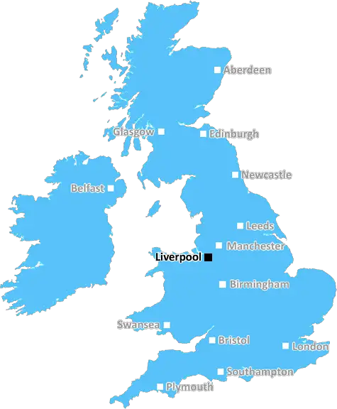
Liverpool (L6)
The L6 postcode area is located in the Liverpool postcode town region, within the county of Merseyside, and contains a total of 646 individual postcodes.
There are 6 electoral wards in the L6 postcode area, including Bootle, Liverpool, Ormskirk, Prescot which come under the local authority of the Liverpool Council.
Combining the whole postcode region, 8% of people in L6 are classed as having an AB social grade, (i.e. 'white-collar' middle-upper class), compared to 27% across the UK.
This does not mean that the people of L6 are poorer than other areas, but it may give an indication that there are areas of deprivation.
The L6 postcode in the Liverpool district covers a diverse and multi-cultural area of the city. The postcode covers the suburbs of Anfield, Clubmoor, Tuebrook, Stoneycroft, Everton, Vauxhall, Fairfield and parts of Kensington and Edge Hill.
Located in the north of the city, this area is mostly residential, with many neighbourhoods of terraced homes, as well as some modern apartment developments. It has a strong local feel, with many small independent shops and family-run businesses.
It is well connected to the city centre via major roads, such as Scotland Road, while the Liverpool Lime Street train station is close by, allowing commuters to travel easily to other towns and cities in the region.
The L6 postcode is well known for its diverse population. The area is home to a large ethnic minority community, with the majority of residents hailing from Ireland, China, Poland, Pakistan, India and the Afro-Caribbean community. With the presence of the Croxteth and Norris Green Community Hub, the area is known to encourage diversity, with cultural events and activities taking place throughout the year.
The area also has a rich cultural and historical significance, with many buildings of interest. These include the Stanley Park, home to the Liverpool Cricket Club since 1878, and the Grade II listed former Everton Library, now renovated as a boutique hotel. The area is also home to two of the most iconic sites in Liverpool � Anfield Football Stadium and Goodison Park.
Residents of the area enjoy easy access to a range of green spaces and recreation facilities, such as Croxteth and Stanley Park, as well as numerous community facilities. These include local leisure and sports centres, children's play centres and parks equipped with play equipment.
The shopping and entertainment options in the area are also attractive, with shops, cafes and bars offering locals a great selection of food, drink and entertainment options. There is also the thriving Everton Park and Recreation Centre, offering visitors a range of recreational activities.
TheL6 postcode is a vibrant and diverse area, which is welcoming, diverse, well connected, and full of life. It provides residents with excellent opportunities to take part in activities, shopping and entertainment, and easy access to other areas of the city and beyond.

Demographics
Merseyside

L6 is located in the county of Merseyside, in England.
Merseyside has a total population of 1,406,400, making it the 9th largest county in the UK.
Merseyside has a total area of 250 square miles, and a population density of 2174 people per square kilometre. For comparison, Greater London has a density of 5,618 people/km2.
| Outward Code | L6 |
| Postal Town | Liverpool |
| MSOA Name | Liverpool 019 |
| LSOA Name | Liverpool 019D |
| County | Merseyside |
| Region | Merseyside |
| Country | England |
| Local Authority | Liverpool |
| Area Classification | Urban with Major Conurbation |
L6 Electoral Wards
The postal region of L6, includes the local towns, villages, electoral wards and stations of:
Dig even deeper into the L6 postcode by clicking on a postcode below:
Click on an outward postal code below for more information about the area. Each 'outward' postcode give you a comprehensive list of all postcodes within the outward code area (L) and estimated address.
Click on an 'outward' code for more information. For example, the outward postcode page 'EC2M' will give you an alphabetical list covering all postcodes located in the region, from 'EC2M 1BB' through to 'EC2M 7YA'.
Chris H
Saturday, April 6, 2024
We don't have any views of L6 right now. If you live in L6 or have visited it, please help us to help others by telling others what you think of this neighbourhood.
Add your view of L6
People need your local expertise. If you live in L6 or have first-hand knowledge of the neighbourhood, please consider sharing your views. It's completely anonymous - all we ask is for your initials.
Please tell us what you like about the L6 postcode area, what you don't like, and what it's like to live or work here.
| LOCAL AMENITIES | |
| FAMILY FRIENDLY | |
| PARKING | |
| GREEN SPACES |
Local News Merseyside
Couple jailed for sexual abuse of under-age girl
Scott Geraghty and Chloe Dixon caused their victim "immeasurable pain and suffering", police say.
BBC NewsAnimal Rising rules out disrupting Grand National
Activist group Animal Rising says it will not disrupt the Grand National on 13 April and is suspending its campaign of direct again against horse racing.
BBC NewsLate Calvert-Lewin penalty earns point for Everton
Dominic Calvert-Lewin converts a late penalty as Everton gain a vital point in their battle to avoid relegation with a draw at Newcastle.
BBC NewsCouncil boss defends leisure centre demolition
The Woodchurch leisure centre will be knocked down despite efforts by community groups to save it.
BBC NewsCatalans ready for 'top of game' St Helens
Catalans Dragons are ready for a 'top of their game' St Helens side when the two teams meet live on BBC Three this Saturday night.
BBC NewsCinema gunman may have had 'suicide by cop' motive
A gunman who fired at a cinema, shop and house will have more psychiatric tests before being sentenced.
BBC NewsKlopp hails 'wonder goal' as Liverpool reclaim top spot
Jurgen Klopp praises Alexis Mac Allister's "wonder goal" as Liverpool overcome Sheffield United to reclaim top spot in the Premier League and maintain control of the title race.
BBC NewsWarrington blow away Leeds to go top of table
Warrington Wolves go top of Super League with a fine second-half performance to beat Leeds Rhinos.
BBC NewsFrom the Postcode Area blog

Deciphering Crime Rates - a Deep Dive Into UK Postcode Analysis
Ever wondered about the crime rate in your UK postcode? You're not alone. We've dug deep into the data, uncovering trends and patterns that'll make your head spin.

Death of the High Street?
The BBC reports that despite councils' attempts to kurb them, the UK's high streets have seen a huge growth in fast food outlets. Could this mark the death knell for the Great British high street, and what can we do about it to halt its decline?

Discrimination by Postcode
You really couldn't make it up, could you? Some of the country's most vulnerable people are missing out on their weekly £25 Cold Weather Payment, just because the system that's in operation is discriminating against them because payments are based on postcode, rather than geographic location.

The Redesign is Underway
Well, the current website was absolutely in dire need of a good redesign - from the ground up. So I set out to pull it all apart and get it up and running again to become the most comprehensive guide to every postcode in the UK. And it's been a long, tough job from start to finish - and quite possibly the biggest project I've ever undertaken.
SOCIAL GRADES
According to census records, 8% of people here have a social grade of AB (highest), compared to the national average of 27%.