liverpool L38 Postcodes
Spending a fortune on conveyancing?

Compare instant, low-cost online quotes from trusted conveyancing solicitors.
Backed by experts, our no-obligation service searches through the best conveyancing quotes on the market to save you time and money.
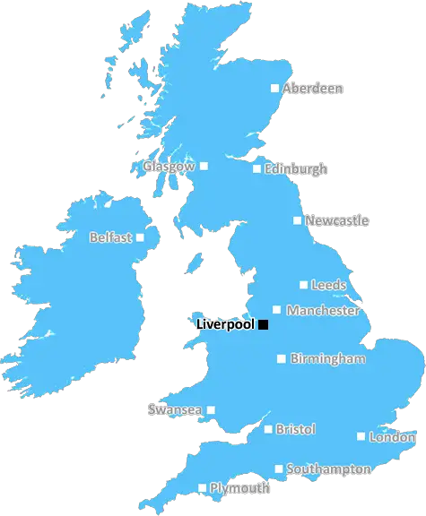
Liverpool (L38)
The L38 postcode area is located in the Liverpool postcode town region, within the county of Merseyside, and contains a total of 128 individual postcodes.
There are 5 electoral wards in the L38 postcode area, including Bootle, Liverpool, Ormskirk, Prescot which come under the local authority of the Sefton Council.
Combining the whole postcode region, 33% of people in L38 are classed as having an AB social grade, (i.e. 'white-collar' middle-upper class), compared to 27% across the UK.
This does not mean that the people of L38 are wealthier - or higher class - than average, but it can be an indication that the area may be prospering and desirable to live in.
The L38 postcode is an area located in the district of Liverpool. It covers Hightown, Little Crosby, and Ince Blundell in the north west of the city. The district has a population of approximately 12,000 people, and is largely composed of middle-class and upper-middle-class residents.
The L38 postcode is within close proximity to many attractions in Liverpool, making it an ideal place for a day out. Anderton Park is in the area, with great opportunities for outdoor activities and picnicking. Crosby Beach is nearby, which is renowned for its stunning sunrises and sunsets. Other attractions include Crosby Marina, Catherine's Park and Little Crosby Cricket Club.
The area is served by several bus routes, making it easy to access other areas of the city. The closest train station is Blundellsands and Crosby, which offers direct access to other nearby towns and cities. Schools in the area include Crosby Primary School, as well as Our Lady of the Compassion and Sacred Heart Catholic Primary School.
High-end shops are common in the area, as well as plenty of traditional pubs. Hightown Village is a popular spot for shopping, with a large selection of shops and restaurants. There is also a local Ikea store in the area, which is always a popular destination for Liverpool residents.
The area has plenty to offer, from stunning beaches to great parks, interesting shopping spots, and good transport links. With its proximity to the city centre, L38 in Liverpool is a great place to call home.

Demographics

Merseyside

L38 is located in the county of Merseyside, in England.
Merseyside has a total population of 1,406,400, making it the 9th largest county in the UK.
Merseyside has a total area of 250 square miles, and a population density of 2174 people per square kilometre. For comparison, Greater London has a density of 5,618 people/km2.
| Outward Code | L38 |
| Postal Town | Liverpool |
| MSOA Name | Sefton 021 |
| LSOA Name | Sefton 021D |
| County | Merseyside |
| Region | Merseyside |
| Country | England |
| Local Authority | Sefton |
| Area Classification | Urban with Major Conurbation |
L38 Electoral Wards
The postal region of L38, includes the local towns, villages, electoral wards and stations of:
Dig even deeper into the L38 postcode by clicking on a postcode below:
Click on an outward postal code below for more information about the area. Each 'outward' postcode give you a comprehensive list of all postcodes within the outward code area (L) and estimated address.
Click on an 'outward' code for more information. For example, the outward postcode page 'EC2M' will give you an alphabetical list covering all postcodes located in the region, from 'EC2M 1BB' through to 'EC2M 7YA'.
Chris H
Tuesday, April 9, 2024
We don't have any views of L38 right now. If you live in L38 or have visited it, please help us to help others by telling others what you think of this neighbourhood.
Add your view of L38
People need your local expertise. If you live in L38 or have first-hand knowledge of the neighbourhood, please consider sharing your views. It's completely anonymous - all we ask is for your initials.
Please tell us what you like about the L38 postcode area, what you don't like, and what it's like to live or work here.
| LOCAL AMENITIES | |
| FAMILY FRIENDLY | |
| PARKING | |
| GREEN SPACES |
Local News Merseyside
Great-grandad, 111, is world's oldest living man
John Tinniswood, from Merseyside, took the title after the death of the previous record-holder.
BBC NewsManhunt after mum pushing baby in pram stabbed
Habibur Masum, who has links to Chester, is wanted by police after a woman was stabbed in Bradford.
BBC NewsEverton beat Burnley to boost survival hopes
Dominic Calvert-Lewin capitalises on an Arijanet Muric error to score his second goal in as many games and help Everton to a priceless win over fellow strugglers Burnley.
BBC NewsAnimal Rising rules out disrupting Grand National
Activist group Animal Rising says it will not disrupt the Grand National on 13 April and is suspending its campaign of direct again against horse racing.
BBC News'As Ten Hag's future hangs in balance, so do Liverpool's title hopes'
As Erik ten Hag's Manchester United's future hangs in the balance so do Liverpool's title hopes, writes Phil McNulty.
BBC NewsThree-year-old girl rescued after falling into lake
Officers saved the child after she wandered out of a house and fell in a nearby lake, police say.
BBC NewsAnderson 'nervous for the pain' after illness
Olympic gold medallist Freya Anderson says she was "nervous for the pain" after she returned to the pool following her glandular fever diagnosis.
BBC NewsWaterfront 900,000 contract awarded to builders
Wirral Council agrees a deal with builders John Sisk and Son as part of 21m plans for Birkenhead.
BBC NewsFrom the Postcode Area blog

Deciphering Crime Rates - a Deep Dive Into UK Postcode Analysis
Ever wondered about the crime rate in your UK postcode? You're not alone. We've dug deep into the data, uncovering trends and patterns that'll make your head spin.

Death of the High Street?
The BBC reports that despite councils' attempts to kurb them, the UK's high streets have seen a huge growth in fast food outlets. Could this mark the death knell for the Great British high street, and what can we do about it to halt its decline?

Discrimination by Postcode
You really couldn't make it up, could you? Some of the country's most vulnerable people are missing out on their weekly £25 Cold Weather Payment, just because the system that's in operation is discriminating against them because payments are based on postcode, rather than geographic location.

The Redesign is Underway
Well, the current website was absolutely in dire need of a good redesign - from the ground up. So I set out to pull it all apart and get it up and running again to become the most comprehensive guide to every postcode in the UK. And it's been a long, tough job from start to finish - and quite possibly the biggest project I've ever undertaken.
SOCIAL GRADES
According to census records, 33% of people here have a social grade of AB (highest), compared to the national average of 27%.