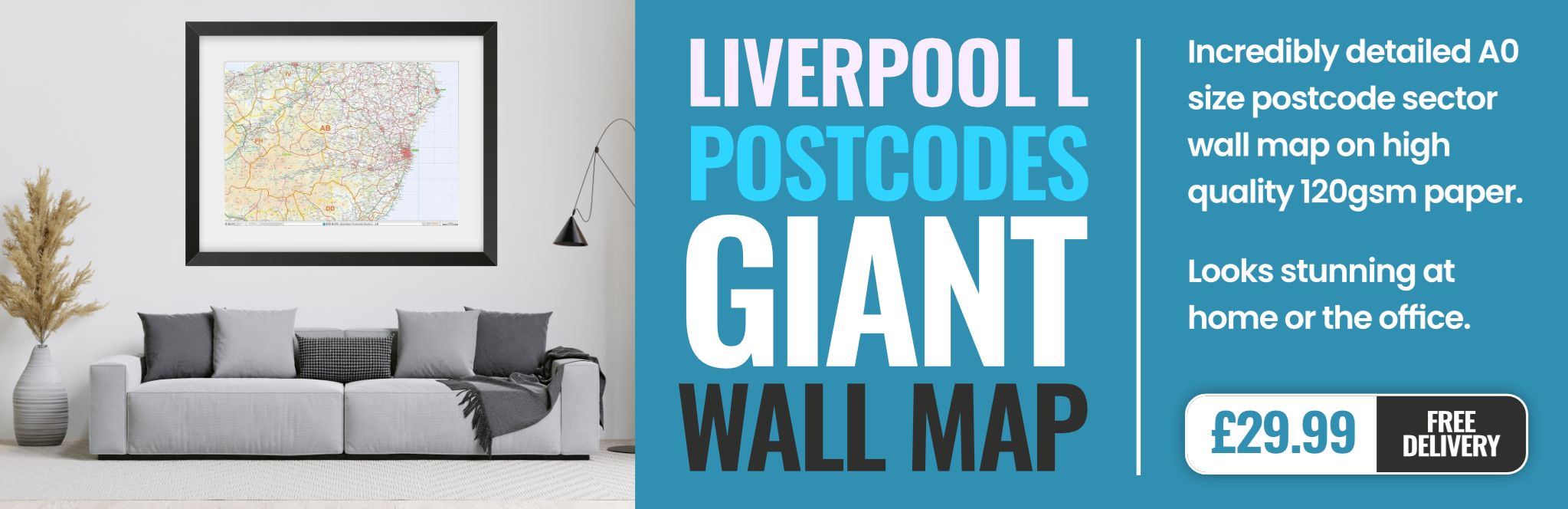
liverpool L1 Postcodes
Spending a fortune on conveyancing?

Compare instant, low-cost online quotes from trusted conveyancing solicitors.
Backed by experts, our no-obligation service searches through the best conveyancing quotes on the market to save you time and money.
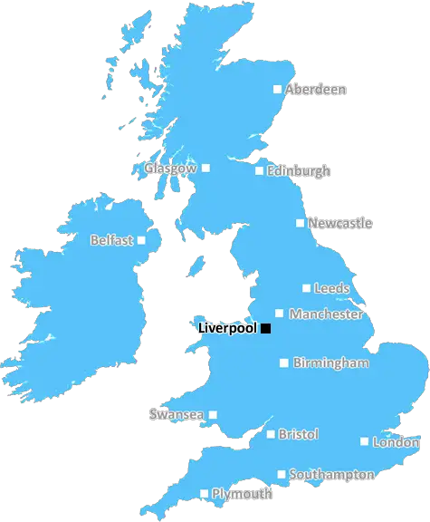
Liverpool (L1)
The L1 postcode area is located in the Liverpool postcode town region, within the county of Merseyside, and contains a total of 753 individual postcodes.
There are 4 electoral wards in the L1 postcode area, including Bootle, Liverpool, Ormskirk, Prescot which come under the local authority of the Liverpool Council.
Combining the whole postcode region, 25% of people in L1 are classed as having an AB social grade, (i.e. 'white-collar' middle-upper class), compared to 27% across the UK.
This does not mean that the people of L1 are poorer than other areas, but it may give an indication that there are areas of deprivation.
The L1 postcode is an area within the Liverpool City Region which covers much of the central district, with the boundaries stretching from the north of the city centre stretching to the edges of the River Mersey in the south. This postcode covers some of Liverpool's most iconic landmarks; the Albert Dock, the Three Graces, Concert Square and the historic waterfront.
The area has long been an integral part of the city and is an attractive place to live and visit. It is home to a diverse community, with hundreds of shops, bars and restaurants to choose from. This includes the famous World Museum, the Walker Art Gallery, Tate Liverpool and the International Slavery Museum.
The area has seen a huge amount of investment in recent years and is becoming increasingly gentrified, with many high-end properties being developed. Despite this, there are still plenty of cultural attractions to enjoy in the area such as the Everyman Theatre, Hornby Lighthouse, the Grade II listed Philharmonic Hall and Chinatown.
Public transport links in the area are also fantastic, linking the city centre with the suburbs. The two main train stations in the area are Central Liverpool and Lime Street, both of which are just a short journey away. There are also numerous bus routes that operate out of the city centre, providing good connections with the wider region.
The L1 postcode is also home to a number of universities, such as the University of Liverpool and Liverpool John Moores University, as well as renowned office blocks like the Royal Liver Building. The area is incredibly popular with students and young professionals, as it offers a fantastic lifestyle and a great selection of amenities.
Arguably the most well-known tourist attraction in the L1 postcode is The Beatles Story Museum, located at the Albert Dock. This iconic museum pays homage to the Fab Four, with many exciting exhibits and lots of Beatles memorabilia to explore. In the same area, there are a number of other cultural attractions such as the Merseyside Maritime Museum and the Tate Liverpool.

Demographics
Merseyside

L1 is located in the county of Merseyside, in England.
Merseyside has a total population of 1,406,400, making it the 9th largest county in the UK.
Merseyside has a total area of 250 square miles, and a population density of 2174 people per square kilometre. For comparison, Greater London has a density of 5,618 people/km2.
| Outward Code | L1 |
| Postal Town | Liverpool |
| MSOA Name | Liverpool 037 |
| LSOA Name | Liverpool 037B |
| County | Merseyside |
| Region | Merseyside |
| Country | England |
| Local Authority | Liverpool |
| Area Classification | Urban with Major Conurbation |
L1 Electoral Wards
The postal region of L1, includes the local towns, villages, electoral wards and stations of:
Dig even deeper into the L1 postcode by clicking on a postcode below:
Click on an outward postal code below for more information about the area. Each 'outward' postcode give you a comprehensive list of all postcodes within the outward code area (L) and estimated address.
Click on an 'outward' code for more information. For example, the outward postcode page 'EC2M' will give you an alphabetical list covering all postcodes located in the region, from 'EC2M 1BB' through to 'EC2M 7YA'.
Chris H
Monday, April 8, 2024
We don't have any views of L1 right now. If you live in L1 or have visited it, please help us to help others by telling others what you think of this neighbourhood.
Add your view of L1
People need your local expertise. If you live in L1 or have first-hand knowledge of the neighbourhood, please consider sharing your views. It's completely anonymous - all we ask is for your initials.
Please tell us what you like about the L1 postcode area, what you don't like, and what it's like to live or work here.
| LOCAL AMENITIES | |
| FAMILY FRIENDLY | |
| PARKING | |
| GREEN SPACES |
Local News Merseyside
Anderson 'nervous for the pain' after illness
Olympic gold medallist Freya Anderson says she was "nervous for the pain" after she returned to the pool following her glandular fever diagnosis.
BBC NewsArtistic fantasy world gets listed status
The flat, known as Ron's Place, was secretly transformed by its tenant with weird and wonderful features.
BBC NewsAnimal Rising rules out disrupting Grand National
Activist group Animal Rising says it will not disrupt the Grand National on 13 April and is suspending its campaign of direct again against horse racing.
BBC NewsWaterfront 900,000 contract awarded to builders
Wirral Council agrees a deal with builders John Sisk and Son as part of 21m plans for Birkenhead.
BBC NewsRare giraffe calf kicks up heels in first outing
The giraffe is captured playing with the rest of the herd on its first outing at Chester Zoo.
BBC NewsCouncil boss defends leisure centre demolition
The Woodchurch leisure centre will be knocked down despite efforts by community groups to save it.
BBC NewsManhunt after mum pushing baby in pram stabbed
Habibur Masum, who has links to Chester, is wanted by police after a woman was stabbed in Bradford.
BBC NewsMore children and young people getting MMR jab
Health bosses have warned measles 'hasn't gone away', urging people to ensure they are protected.
BBC NewsFrom the Postcode Area blog

Deciphering Crime Rates - a Deep Dive Into UK Postcode Analysis
Ever wondered about the crime rate in your UK postcode? You're not alone. We've dug deep into the data, uncovering trends and patterns that'll make your head spin.

Death of the High Street?
The BBC reports that despite councils' attempts to kurb them, the UK's high streets have seen a huge growth in fast food outlets. Could this mark the death knell for the Great British high street, and what can we do about it to halt its decline?

Discrimination by Postcode
You really couldn't make it up, could you? Some of the country's most vulnerable people are missing out on their weekly £25 Cold Weather Payment, just because the system that's in operation is discriminating against them because payments are based on postcode, rather than geographic location.

The Redesign is Underway
Well, the current website was absolutely in dire need of a good redesign - from the ground up. So I set out to pull it all apart and get it up and running again to become the most comprehensive guide to every postcode in the UK. And it's been a long, tough job from start to finish - and quite possibly the biggest project I've ever undertaken.
SOCIAL GRADES
According to census records, 25% of people here have a social grade of AB (highest), compared to the national average of 27%.