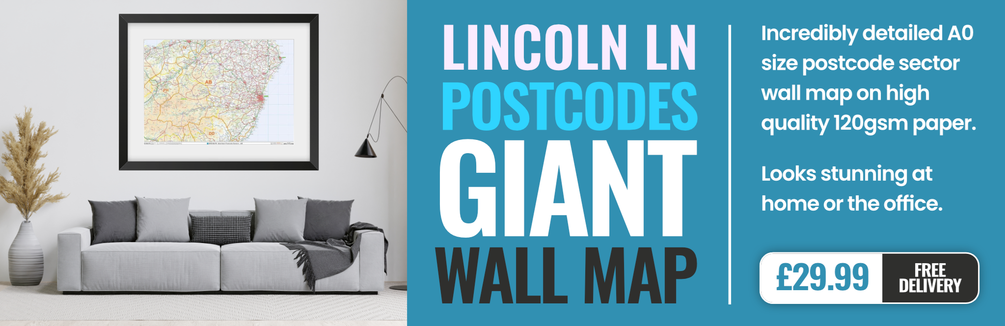
lincoln LN8 Postcodes
Spending a fortune on conveyancing?

Compare instant, low-cost online quotes from trusted conveyancing solicitors.
Backed by experts, our no-obligation service searches through the best conveyancing quotes on the market to save you time and money.
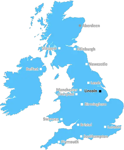
Lincoln (LN8)
The LN8 postcode area is located in the Lincoln postcode town region, within the county of Lincolnshire, and contains a total of 774 individual postcodes.
There are 131 electoral wards in the LN8 postcode area, including Alford, Horncastle, Lincoln, Louth, Mablethorpe, Market Rasen, Woodhall Spa which come under the local authority of the West Lindsey Council.
Combining the whole postcode region, 22% of people in LN8 are classed as having an AB social grade, (i.e. 'white-collar' middle-upper class), compared to 27% across the UK.
This does not mean that the people of LN8 are poorer than other areas, but it may give an indication that there are areas of deprivation.
The LN8 postcode area is located in the Lincoln district of the county of Lincolnshire. It is in the eastern part of the City of Lincoln and is bounded by the River Witham to the east, the A57 trunk road to the south and the A15 to the north, and by various district boundaries to the west.
The area of LN8 postcode is the most populated area of Lincoln and is home to some of the City's main shopping streets, the University of Lincoln, Lincoln College, Bishop Grosseteste University, The Lincolnshire Showground, the Riverside Shopping Centre, Lincoln city centre, Lincoln Cathedral, the Epic centre and historic sites including Lincoln Castle.
The northern part of the area includes the villages of Skellingthorpe and Waddington, as well as the smaller settlements of Minting, Branston Booths and Potterhanworth; whilst to the south of the postcode boundaries lie the villages of Branston, Washingborough and Heighington.
Transport links in the LN8 postcode include frequent train services to Lincoln railway station, as well as regular bus services linking the area with surrounding areas, including the City of Lincoln, Newark-upon-Trent, Skegness and Grantham.
The area has a variety of schools and learning centres, including primary schools, Lincoln College, Bishop Grosseteste University and a range of independent and grammar schools. Healthcare facilities, such as Lincoln County Hospital, are also present in the area.
The area offers a range of leisure activities for residents. This includes an 18-hole golf course, a cycle track, a public swimming pool, a gym and a range of clubs, groups and open spaces. The area is also home to a range of pubs, restaurants, cafes, and shops, as well as a variety of sports clubs and teams, such as Lincolnshire Cricket and Lincoln City Football Club.

Demographics
Lincolnshire

LN8 is located in the county of Lincolnshire, in England.
Lincolnshire has a total population of 1,073,300, making it the 18th largest county in the UK.
Lincolnshire has a total area of 2693 square miles, and a population density of 153 people per square kilometre. For comparison, Greater London has a density of 5,618 people/km2.
| Outward Code | LN8 |
| Postal Town | Lincoln |
| MSOA Name | West Lindsey 005 |
| LSOA Name | West Lindsey 005D |
| County | Lincolnshire |
| Region | Lincolnshire |
| Country | England |
| Local Authority | West Lindsey |
| Area Classification | Mainly Rural (rural including hub towns >=80%) |
LN8 Electoral Wards
The postal region of LN8, includes the local towns, villages, electoral wards and stations of:
Dig even deeper into the LN8 postcode by clicking on a postcode below:
Click on an outward postal code below for more information about the area. Each 'outward' postcode give you a comprehensive list of all postcodes within the outward code area (LN) and estimated address.
Click on an 'outward' code for more information. For example, the outward postcode page 'EC2M' will give you an alphabetical list covering all postcodes located in the region, from 'EC2M 1BB' through to 'EC2M 7YA'.
Chris H
Wednesday, April 10, 2024
We don't have any views of LN8 right now. If you live in LN8 or have visited it, please help us to help others by telling others what you think of this neighbourhood.
Add your view of LN8
People need your local expertise. If you live in LN8 or have first-hand knowledge of the neighbourhood, please consider sharing your views. It's completely anonymous - all we ask is for your initials.
Please tell us what you like about the LN8 postcode area, what you don't like, and what it's like to live or work here.
| LOCAL AMENITIES | |
| FAMILY FRIENDLY | |
| PARKING | |
| GREEN SPACES |
Local News Lincolnshire
RAF Scampton asylum plan gets go-ahead after council ends enforcement action
The Home Office has granted temporary planning permission for the site to be used for asylum accommodation
Lincolnshire LiveWoman unfit to plead to attempted murder charge
Ann Marie McEvoy, 41, was charged following an incident at a flat in Fold Hill, in November 2022.
BBC News'Monster' cut wife's body into more than 200 pieces
Nicholas Metson stabbed Holly Bramley then dismembered her body and dumped her remains in a river.
BBC NewsBody found in search for missing Grimsby man, 94
Police have informed the family of Colin, a man who has been missing since April 2
Lincolnshire LiveSeagull graffiti trail launched in seaside resort
The art has appeared around Cleethorpes as part of a bid to get people out and about.
BBC NewsClaim council is 'insulting residents' intelligence' over bin changes
Warren Webster says he 'doesn't see the point in doing the council's job for them'
Lincolnshire LiveLincoln Glory Hole finally reopens after 'challenging' repairs completed
"We got there in the end"
Lincolnshire LiveCarlisle United 1-3 Lincoln City
Lincoln continue their late play-off charge with a 3-1 victory over relegation-threatened Carlisle.
BBC NewsFrom the Postcode Area blog

Deciphering Crime Rates - a Deep Dive Into UK Postcode Analysis
Ever wondered about the crime rate in your UK postcode? You're not alone. We've dug deep into the data, uncovering trends and patterns that'll make your head spin.

Death of the High Street?
The BBC reports that despite councils' attempts to kurb them, the UK's high streets have seen a huge growth in fast food outlets. Could this mark the death knell for the Great British high street, and what can we do about it to halt its decline?

Discrimination by Postcode
You really couldn't make it up, could you? Some of the country's most vulnerable people are missing out on their weekly £25 Cold Weather Payment, just because the system that's in operation is discriminating against them because payments are based on postcode, rather than geographic location.

The Redesign is Underway
Well, the current website was absolutely in dire need of a good redesign - from the ground up. So I set out to pull it all apart and get it up and running again to become the most comprehensive guide to every postcode in the UK. And it's been a long, tough job from start to finish - and quite possibly the biggest project I've ever undertaken.
SOCIAL GRADES
According to census records, 22% of people here have a social grade of AB (highest), compared to the national average of 27%.