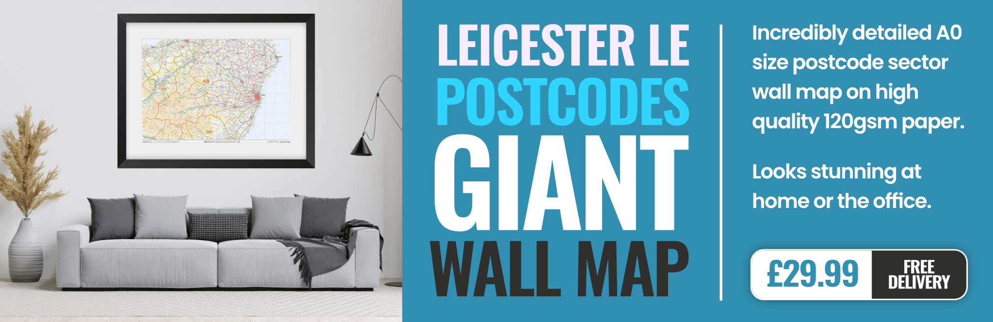
leicester LE65 Postcodes
Spending a fortune on conveyancing?

Compare instant, low-cost online quotes from trusted conveyancing solicitors.
Backed by experts, our no-obligation service searches through the best conveyancing quotes on the market to save you time and money.
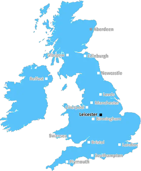
Leicester (LE65)
The LE65 postcode area is located in the Leicester postcode town region, within the county of Leicestershire, and contains a total of 599 individual postcodes.
There are 31 electoral wards in the LE65 postcode area, including Ashby-De-La-Zouch, Coalville, Hinckley, Ibstock, Leicester, Loughborough, Lutterworth, Market Harborough, Markfield, Melton Mowbray, Oakham, Wigston which come under the local authority of the North West Leicestershire Council.
Combining the whole postcode region, 35% of people in LE65 are classed as having an AB social grade, (i.e. 'white-collar' middle-upper class), compared to 27% across the UK.
This does not mean that the people of LE65 are wealthier - or higher class - than average, but it can be an indication that the area may be prospering and desirable to live in.
LE65 is a postcode that covers the town of Ashby-de-la-Zouch in the Leicester district of Leicestershire, East Midlands, England. It is located around 11 miles north-west of the city of Leicester and 15 miles south-east of Burton-upon-Trent.
The area is mainly rural, consisting of several small villages and hamlets that are strung together around the main road that runs from Leicester to Burton. It is known for its picturesque rolling hills that stretch as far as the eye can see.
The village of Ashby-de-la-Zouch itself is a historic market town, with a population of around 11,000, and is the commercial and administrative centre of the postcode area. It has an excellent range of local and high-street shops, and its Saturday market is one of the most popular in the East Midlands. It is also home to the Grade II* listed Ashby Castle, which dates back to the 12th century and is a popular site for Sunday strolls.
The area has a wide range of leisure facilities too, including golf courses, parks, nature reserves, and some of the most stunning countryside in Leicestershire. A great selection of pubs, restaurants and cafes can be found in the towns and villages, offering something for everyone.
In terms of transportation, LE65 is well serviced by the M1 motorway which runs through the area, and the nearest railwaystation is in nearby Market Bosworth.
In terms of education, there are plenty of schools and academies that provide excellent secondary and tertiary education. These include Ashby School, Brookvale Groby Learning Campus, Newbridge High School and Ashby Fields Primary School. In addition, Heather Primary School and Twycross cofe Primary School are popular for younger children.
Finally, for those wanting to explore further afield there are a range of villages in the area which are excellent for day trips and exploration. These include Ticknall, Donisthorpe, Ambion and Shenton.

Demographics
Leicestershire

LE65 is located in the county of Leicestershire, in England.
Leicestershire has a total population of 1,031,300, making it the 21st largest county in the UK.
Leicestershire has a total area of 832 square miles, and a population density of 478 people per square kilometre. For comparison, Greater London has a density of 5,618 people/km2.
| Outward Code | LE65 |
| Postal Town | Leicester |
| MSOA Name | North West Leicestershire 003 |
| LSOA Name | North West Leicestershire 003A |
| County | Leicestershire |
| Region | Leicestershire |
| Country | England |
| Local Authority | North West Leicestershire |
| Area Classification | Largely Rural (rural including hub towns 50-79%) |
LE65 Electoral Wards
The postal region of LE65, includes the local towns, villages, electoral wards and stations of:
Dig even deeper into the LE65 postcode by clicking on a postcode below:
Click on an outward postal code below for more information about the area. Each 'outward' postcode give you a comprehensive list of all postcodes within the outward code area (LE) and estimated address.
Click on an 'outward' code for more information. For example, the outward postcode page 'EC2M' will give you an alphabetical list covering all postcodes located in the region, from 'EC2M 1BB' through to 'EC2M 7YA'.
Chris H
Saturday, April 13, 2024
We don't have any views of LE65 right now. If you live in LE65 or have visited it, please help us to help others by telling others what you think of this neighbourhood.
Add your view of LE65
People need your local expertise. If you live in LE65 or have first-hand knowledge of the neighbourhood, please consider sharing your views. It's completely anonymous - all we ask is for your initials.
Please tell us what you like about the LE65 postcode area, what you don't like, and what it's like to live or work here.
| LOCAL AMENITIES | |
| FAMILY FRIENDLY | |
| PARKING | |
| GREEN SPACES |
Local News Leicestershire
Maresca worried about health of Leicester players
Leicester City boss Enzo Maresca is worried about his players' health as they face a second lengthy away trip in four days.
BBC NewsTeenager admits killing man in street stabbing
He admits the manslaughter of Junior Osborne but denies his murder with four co-accused.
BBC NewsPorter & Scott among five Tigers to be released
Centres Guy Porter and Matt Scott are among five players Leicester Tigers will release at the end of the season.
BBC NewsPlymouth stun Championship leaders Leicester
Mustapha Bundu scores the only goal of the game as Plymouth Argyle stun Championship leaders Leicester City at Home Park.
BBC NewsPatel & Trevaskis help Foxes start well against Sussex
Rishi Patel, Liam Trevaskis and Peter Handscomb hit half-centuries as Leicestershire make 326-8 on day one against Sussex.
BBC NewsTwitchers invited to dawn chorus walk
The tour will take walkers around Dishley Pool in Loughborough while listening to dawn's chorus.
BBC NewsLeicester to avoid points penalty this season
Leicester City are not at risk of a points deduction this season after the EFL admits it is powerless to punish clubs for Premier League breaches.
BBC NewsMan forced out of flat after rodent 'infestation'
John Waterworth says he has caught 12 rodents in his Leicester flat since January.
BBC NewsFrom the Postcode Area blog

Deciphering Crime Rates - a Deep Dive Into UK Postcode Analysis
Ever wondered about the crime rate in your UK postcode? You're not alone. We've dug deep into the data, uncovering trends and patterns that'll make your head spin.

Death of the High Street?
The BBC reports that despite councils' attempts to kurb them, the UK's high streets have seen a huge growth in fast food outlets. Could this mark the death knell for the Great British high street, and what can we do about it to halt its decline?

Discrimination by Postcode
You really couldn't make it up, could you? Some of the country's most vulnerable people are missing out on their weekly £25 Cold Weather Payment, just because the system that's in operation is discriminating against them because payments are based on postcode, rather than geographic location.

The Redesign is Underway
Well, the current website was absolutely in dire need of a good redesign - from the ground up. So I set out to pull it all apart and get it up and running again to become the most comprehensive guide to every postcode in the UK. And it's been a long, tough job from start to finish - and quite possibly the biggest project I've ever undertaken.
SOCIAL GRADES
According to census records, 35% of people here have a social grade of AB (highest), compared to the national average of 27%.