leeds LS5 Postcodes
Spending a fortune on conveyancing?

Compare instant, low-cost online quotes from trusted conveyancing solicitors.
Backed by experts, our no-obligation service searches through the best conveyancing quotes on the market to save you time and money.
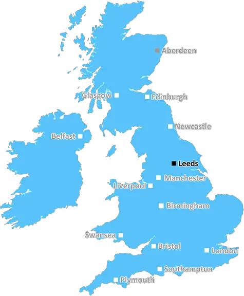
Leeds (LS5)
The LS5 postcode area is located in the Leeds postcode town region, within the county of West Yorkshire, and contains a total of 271 individual postcodes.
There are 6 electoral wards in the LS5 postcode area, including Ilkley, Leeds, Otley, Pudsey, Tadcaster, Wetherby which come under the local authority of the Leeds Council.
Combining the whole postcode region, 21% of people in LS5 are classed as having an AB social grade, (i.e. 'white-collar' middle-upper class), compared to 27% across the UK.
This does not mean that the people of LS5 are poorer than other areas, but it may give an indication that there are areas of deprivation.
The LS5 postcode in the Leeds district covers an area of 2.79 square miles in the northwest of Leeds. The northern boundary is defined by the Woodhouse Lane and Western Avenue junction, and the southern boundary is defined by the Burley and Kensal Rise junction. The area is best known for its three main park lands: Woodhouse Moor, Hyde Park and Beckett Park.
Inside its boundary, the postcode has a wide variety of housing types as well as some local amenities. Its residential streets are typically lined with terraced properties and 1930s semi-detached homes, both of which are popular with young professionals and growing families. Meanwhile, in the northern part of the postcode there are many large detached dwellings in a variety of styles.
The neighbourhood is well served by local amenities, with good transport links from Leeds city centre, making it a popular place to live. The neighbourhood has a range of amenities including a neighbourhood park, shops, doctors' surgeries, banks, and schools. Burley Park train station is located in the middle of the neighbourhood, giving it excellent rail links to Leeds and other nearby towns.
A bit further afield, Hyde Park corner is the main shopping centre, featuring many well-known stores. Woodhouse Moor is the centre of the postcode, and it has a scenic lake, football fields, outdoor fitness gyms and numerous walking trails. The Leeds Outer Ring Road also runs through the eastern edge of the postcode, making commuting to neighbouring districts easier.
Located near Leeds' universities, the LS5 is a popular area for students. Despite its popularity, the postcode still has some affordable housing stock, making it a great option for those looking to get on the property ladder.
The area also enjoys many excellent sporting facilities, with Leeds Rugby League Club based in the area. Furthermore, the postcode offers some of the best cultural events in the city, with the annual Hyde Park Picture House show. The postcode also plays host to an array of annual festivals, such as the much-loved Scarecrow Festival during summer months.

Demographics
West Yorkshire

LS5 is located in the county of West Yorkshire, in England.
West Yorkshire has a total population of 2,299,700, making it the 4th largest county in the UK.
West Yorkshire has a total area of 783 square miles, and a population density of 1133 people per square kilometre. For comparison, Greater London has a density of 5,618 people/km2.
| Outward Code | LS5 |
| Postal Town | Leeds |
| MSOA Name | Leeds 045 |
| LSOA Name | Leeds 045A |
| County | West Yorkshire |
| Region | West Yorkshire |
| Country | England |
| Local Authority | Leeds |
| Area Classification | Urban with Major Conurbation |
LS5 Electoral Wards
The postal region of LS5, includes the local towns, villages, electoral wards and stations of:
Dig even deeper into the LS5 postcode by clicking on a postcode below:
Click on an outward postal code below for more information about the area. Each 'outward' postcode give you a comprehensive list of all postcodes within the outward code area (LS) and estimated address.
Click on an 'outward' code for more information. For example, the outward postcode page 'EC2M' will give you an alphabetical list covering all postcodes located in the region, from 'EC2M 1BB' through to 'EC2M 7YA'.
Chris H
Saturday, April 6, 2024
We don't have any views of LS5 right now. If you live in LS5 or have visited it, please help us to help others by telling others what you think of this neighbourhood.
Add your view of LS5
People need your local expertise. If you live in LS5 or have first-hand knowledge of the neighbourhood, please consider sharing your views. It's completely anonymous - all we ask is for your initials.
Please tell us what you like about the LS5 postcode area, what you don't like, and what it's like to live or work here.
| LOCAL AMENITIES | |
| FAMILY FRIENDLY | |
| PARKING | |
| GREEN SPACES |
Local News West Yorkshire
Deaf team assistant condemns 'offensive' jibes
Footballers in the Leeds team are regularly mocked for having impaired hearing, Matt Dixon says.
BBC NewsSuper League: Castleford Tigers 36-24 Salford Red Devils - Cas get first win of season
Four Innes Senior tries help Castleford Tigers taste Super League victory for the first time in 2024, with a win over Salford.
BBC NewsSuper League: Leeds Rhinos 8-34 Warrington Wolves - Wire go top of table
Warrington Wolves go top of Super League with a fine second-half performance to beat Leeds Rhinos.
BBC NewsTom Holmes: Bradford Bulls full-back targets playing return after rare illness
Bradford Bulls full-back Tom Holmes is looking to make a "special" return to playing after having a rare form of skin lymphoma.
BBC NewsRapper Ja Rule denied UK entry ahead of Cardiff gig
The musician says his criminal record was the reason he has to shelve the British leg of his tour.
BBC NewsLeeds woman given terminal diagnosis after doctors missed tumour on scan
Leeds NHS trust says it is "deeply sorry" after Anne Shaw's cancer went undiagnosed for two years.
BBC NewsNational Coal Mining Museum hosts miners' memories of 1980s strike
Memories of the 1984 miners' strike at centre of 40th anniversary exhibition.
BBC NewsCounty Championship: Yorkshire take five Leicestershire wickets on rain-hit day one
George Hill takes three wickets as Yorkshire chip away at Leicestershire on a rain-hit opening day.
BBC NewsFrom the Postcode Area blog

Deciphering Crime Rates - a Deep Dive Into UK Postcode Analysis
Ever wondered about the crime rate in your UK postcode? You're not alone. We've dug deep into the data, uncovering trends and patterns that'll make your head spin.

Death of the High Street?
The BBC reports that despite councils' attempts to kurb them, the UK's high streets have seen a huge growth in fast food outlets. Could this mark the death knell for the Great British high street, and what can we do about it to halt its decline?

Discrimination by Postcode
You really couldn't make it up, could you? Some of the country's most vulnerable people are missing out on their weekly £25 Cold Weather Payment, just because the system that's in operation is discriminating against them because payments are based on postcode, rather than geographic location.

The Redesign is Underway
Well, the current website was absolutely in dire need of a good redesign - from the ground up. So I set out to pull it all apart and get it up and running again to become the most comprehensive guide to every postcode in the UK. And it's been a long, tough job from start to finish - and quite possibly the biggest project I've ever undertaken.
SOCIAL GRADES
According to census records, 21% of people here have a social grade of AB (highest), compared to the national average of 27%.