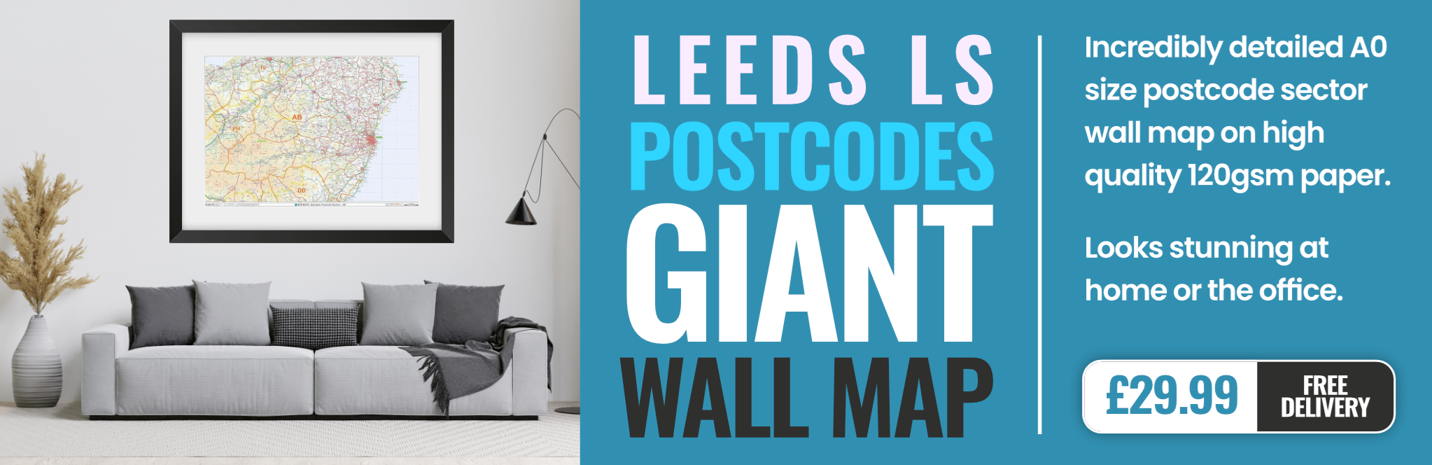
leeds LS21 Postcodes
Spending a fortune on conveyancing?

Compare instant, low-cost online quotes from trusted conveyancing solicitors.
Backed by experts, our no-obligation service searches through the best conveyancing quotes on the market to save you time and money.
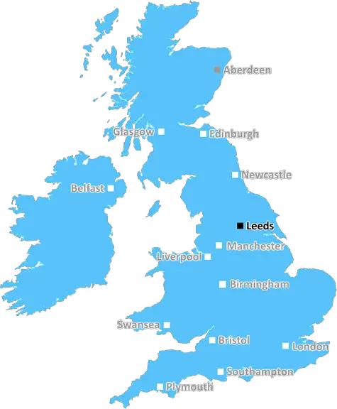
Leeds (LS21)
The LS21 postcode area is located in the Leeds postcode town region, within the county of West Yorkshire, and contains a total of 847 individual postcodes.
There are 69 electoral wards in the LS21 postcode area, including Ilkley, Leeds, Otley, Pudsey, Tadcaster, Wetherby which come under the local authority of the Leeds Council.
Combining the whole postcode region, 36% of people in LS21 are classed as having an AB social grade, (i.e. 'white-collar' middle-upper class), compared to 27% across the UK.
This does not mean that the people of LS21 are wealthier - or higher class - than average, but it can be an indication that the area may be prospering and desirable to live in.
LS21 is a postcode district and is located in North, West Yorkshire (in the area of Harrogate, Coverdale, and Wharfdale). The total population for this area was 13,559 according to the latest census in 2011.
The area of LS21 is a mostly rural one and centres on three market towns: Otley, Ilkley, and Pateley Bridge. Otley is the largest and oldest of the towns in this area, with a historic abbey, old market square, and a Norman castle. Ilkley is home to many outdoor and leisure activities, such as golf courses and its iconic moor. It is also a popular tourist destination. The smallest town of Pateley Bridge is a Georgian, picturesque village at the heart of the stunning Nidderdale Area of Outstanding Natural Beauty.
The LS21 postcode district is surrounded by the LS20, BD23, HG3, and HG4 postcode districts. Within LS21 there are many villages, hamlets, and small towns, including: West and East Chevin, Norwood, Denton, Gayle, Hartlington, Kirkby Malham, Middleton, North and South Otterington, and Weston.
Some of the places of interest in this area include Bolton Abbey Estate, which is a major local tourist attraction, and the Bramham Park Estate, which operates as a large agricultural estate and hosts several major events.
LS21 is home to many small businesses, such as markets, caf� and restaurants, hotels, pubs, and traders, as well as traditional village shops and post offices. The area is also served by two primary schools and one secondary school. Many of the students attending the area's secondary school will then progress to further and higher education at a local college or university.
The main transport links to and from the LS21 area are via the A59 and A65 roads, which connect the area to small towns, such as Clapham, Bradford, and Leeds. There are also two local railway stations (Cross Gates - Leeds and Desborough - Harrogate). Bus services are also available across the area.
LS21 is a small rural area of Yorkshire but offers plenty of attractions to its visitors and residents.

Demographics
West Yorkshire

LS21 is located in the county of West Yorkshire, in England.
West Yorkshire has a total population of 2,299,700, making it the 4th largest county in the UK.
West Yorkshire has a total area of 783 square miles, and a population density of 1133 people per square kilometre. For comparison, Greater London has a density of 5,618 people/km2.
| Outward Code | LS21 |
| Postal Town | Leeds |
| MSOA Name | Leeds 004 |
| LSOA Name | Leeds 004A |
| County | West Yorkshire |
| Region | West Yorkshire |
| Country | England |
| Local Authority | Leeds |
| Area Classification | Urban with Major Conurbation |
LS21 Electoral Wards
The postal region of LS21, includes the local towns, villages, electoral wards and stations of:
Dig even deeper into the LS21 postcode by clicking on a postcode below:
Click on an outward postal code below for more information about the area. Each 'outward' postcode give you a comprehensive list of all postcodes within the outward code area (LS) and estimated address.
Click on an 'outward' code for more information. For example, the outward postcode page 'EC2M' will give you an alphabetical list covering all postcodes located in the region, from 'EC2M 1BB' through to 'EC2M 7YA'.
SYM, Leeds
Friday, July 14, 2023
listen yeh it aint too bad yeh but u go down fucking weston in otley yeh shit whole hate it whole of otleys a shitwhole acc bare parks tho cimon mush ls21 gittuyp
Add your view of LS21
People need your local expertise. If you live in LS21 or have first-hand knowledge of the neighbourhood, please consider sharing your views. It's completely anonymous - all we ask is for your initials.
Please tell us what you like about the LS21 postcode area, what you don't like, and what it's like to live or work here.
| LOCAL AMENITIES | |
| FAMILY FRIENDLY | |
| PARKING | |
| GREEN SPACES |
Local News West Yorkshire
Horbury: Plans to convert WW2 gas site into caf rejected
Objectors say the project would "fail to preserve the special historic interest" of the structure.
BBC NewsLeeds woman given terminal diagnosis after doctors missed tumour on scan
Leeds NHS trust says it is "deeply sorry" after Anne Shaw's cancer went undiagnosed for two years.
BBC NewsHalifax volunteers save 99-year-old library from closure
Volunteers say they are determined to make the library a community focal point.
BBC News1970 FA Cup final: The most brutal game in English football history
As Chelsea get set to face Leeds in the FA Cup fifth round, BBC Sport looks back at the notoriously ferocious 1970 FA Cup final replay between the two sides.
BBC NewsLeeds United fan injured during FA Cup tie at Chelsea
A Leeds United supporter is "in the hands of the emergency services" after appearing to fall from the stand in their FA Cup tie at Chelsea.
BBC NewsSuper League: Hull FC 22-56 Huddersfield Giants - Adam Swift hat-trick sparks rout
Adam Swift's hat-trick sets Huddersfield on the way to another big win over Hull FC, this time in Super League.
BBC NewsCoventry City 2-1 Leeds United: Sky Blues stay in play-off hunt as Leeds miss chance to go top
Coventry City stay in the mix for a Championship play-off spot with victory over Leeds United, who miss the chance to go top.
BBC NewsPlans for former Leeds school site put forward
Sports pitches, shops, housing and a special needs school have all been lined up by Leeds Council.
BBC NewsFrom the Postcode Area blog

Deciphering Crime Rates - a Deep Dive Into UK Postcode Analysis
Ever wondered about the crime rate in your UK postcode? You're not alone. We've dug deep into the data, uncovering trends and patterns that'll make your head spin.

Death of the High Street?
The BBC reports that despite councils' attempts to kurb them, the UK's high streets have seen a huge growth in fast food outlets. Could this mark the death knell for the Great British high street, and what can we do about it to halt its decline?

Discrimination by Postcode
You really couldn't make it up, could you? Some of the country's most vulnerable people are missing out on their weekly £25 Cold Weather Payment, just because the system that's in operation is discriminating against them because payments are based on postcode, rather than geographic location.

The Redesign is Underway
Well, the current website was absolutely in dire need of a good redesign - from the ground up. So I set out to pull it all apart and get it up and running again to become the most comprehensive guide to every postcode in the UK. And it's been a long, tough job from start to finish - and quite possibly the biggest project I've ever undertaken.
SOCIAL GRADES
According to census records, 36% of people here have a social grade of AB (highest), compared to the national average of 27%.