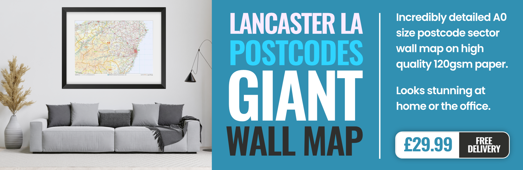
lancaster LA9 Postcodes
Spending a fortune on conveyancing?

Compare instant, low-cost online quotes from trusted conveyancing solicitors.
Backed by experts, our no-obligation service searches through the best conveyancing quotes on the market to save you time and money.
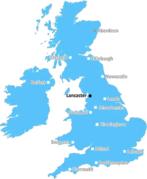
Lancaster (LA9)
The LA9 postcode area is located in the Lancaster postcode town region, within the county of Cumbria, and contains a total of 1222 individual postcodes.
There are 13 electoral wards in the LA9 postcode area, including Ambleside, Askam-In-Furness, Barrow-In-Furness, Broughton-In-Furness, Carnforth, Coniston, Dalton-In-Furness, Grange-Over-Sands, Kendal, Kirkby-In-Furness, Lancaster, Millom, Milnthorpe, Morecambe, Sedbergh, Ulverston, Windermere which come under the local authority of the South Lakeland Council.
Combining the whole postcode region, 23% of people in LA9 are classed as having an AB social grade, (i.e. 'white-collar' middle-upper class), compared to 27% across the UK.
This does not mean that the people of LA9 are poorer than other areas, but it may give an indication that there are areas of deprivation.
The LA9 postcode is an area in the Lancaster district of Lancashire, England. It covers the urban areas of Milnthorpe, Beetham, Silverdale, Burton, Nether Kellet, Levens, Holme, Old Hutton, Warton, Ireby, and Whittington, as well as part of the Arnside and Silverdale Area of Outstanding Natural Beauty.
LA9 is characterised by its picturesque towns and villages, situated mainly on the south side of the River Bela, with much of the countryside dominated by the limestone hills of the Pennines to the north and the Morecambe Bay Coastline to the west. Locally, the area enjoys a range of recreational activities including walking, cycling, wildlife watching, kayaking, and other water sports. The area is home to several attractions, including Leighton Moss RSPB Reserve, Dalton Castle, and the Arnside �slack�, a former shingle beach.
LA9 is an economically vibrant area, buoyed by digital, manufacturing, and technology-related industries, amongst others. Several of the villages have held onto their rural charms, characterised by small independent shops, pubs, and tea rooms, while larger towns such as Milnthorpe, Warton, and Arnside have experienced recent expansion.
There is an array of housing, ranging from stone terraced housing in the towns and villages, to larger semi-detached and detached properties, as well as low-rise apartment blocks. A good number of the properties are victorian or Edwardian and have been converted into stylish apartments.
Transport is well catered for with access to the M6, direct trains to Manchester and links to Lancaster, Kendal and Barrow-in-Furness through frequent bus services.
TheLA9 postcode is a beautiful area with plenty to offer, on both a recreational and practical level. Its picturesque towns and villages, unique natural attractions, and rich economic backdrop make it an excellent choice for those looking for a conveniently located desirable postcode.

Demographics
Cumbria

LA9 is located in the county of Cumbria, in England.
Cumbria has a total population of 497,900, making it the 41st largest county in the UK.
Cumbria has a total area of 2612 square miles, and a population density of 73 people per square kilometre. For comparison, Greater London has a density of 5,618 people/km2.
| Outward Code | LA9 |
| Postal Town | Lancaster |
| MSOA Name | South Lakeland 004 |
| LSOA Name | South Lakeland 004A |
| County | Cumbria |
| Region | Cumbria |
| Country | England |
| Local Authority | South Lakeland |
| Area Classification | Mainly Rural (rural including hub towns >=80%) |
LA9 Electoral Wards
The postal region of LA9, includes the local towns, villages, electoral wards and stations of:
Dig even deeper into the LA9 postcode by clicking on a postcode below:
Click on an outward postal code below for more information about the area. Each 'outward' postcode give you a comprehensive list of all postcodes within the outward code area (LA) and estimated address.
Click on an 'outward' code for more information. For example, the outward postcode page 'EC2M' will give you an alphabetical list covering all postcodes located in the region, from 'EC2M 1BB' through to 'EC2M 7YA'.
Chris H
Wednesday, April 10, 2024
We don't have any views of LA9 right now. If you live in LA9 or have visited it, please help us to help others by telling others what you think of this neighbourhood.
Add your view of LA9
People need your local expertise. If you live in LA9 or have first-hand knowledge of the neighbourhood, please consider sharing your views. It's completely anonymous - all we ask is for your initials.
Please tell us what you like about the LA9 postcode area, what you don't like, and what it's like to live or work here.
| LOCAL AMENITIES | |
| FAMILY FRIENDLY | |
| PARKING | |
| GREEN SPACES |
From the Postcode Area blog

Deciphering Crime Rates - a Deep Dive Into UK Postcode Analysis
Ever wondered about the crime rate in your UK postcode? You're not alone. We've dug deep into the data, uncovering trends and patterns that'll make your head spin.

Death of the High Street?
The BBC reports that despite councils' attempts to kurb them, the UK's high streets have seen a huge growth in fast food outlets. Could this mark the death knell for the Great British high street, and what can we do about it to halt its decline?

Discrimination by Postcode
You really couldn't make it up, could you? Some of the country's most vulnerable people are missing out on their weekly £25 Cold Weather Payment, just because the system that's in operation is discriminating against them because payments are based on postcode, rather than geographic location.

The Redesign is Underway
Well, the current website was absolutely in dire need of a good redesign - from the ground up. So I set out to pull it all apart and get it up and running again to become the most comprehensive guide to every postcode in the UK. And it's been a long, tough job from start to finish - and quite possibly the biggest project I've ever undertaken.
SOCIAL GRADES
According to census records, 23% of people here have a social grade of AB (highest), compared to the national average of 27%.