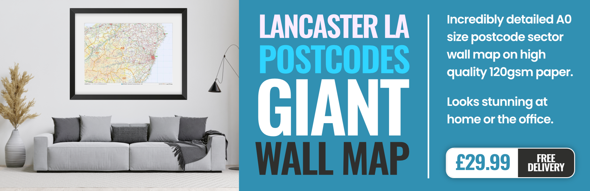
lancaster LA18 Postcodes
Spending a fortune on conveyancing?

Compare instant, low-cost online quotes from trusted conveyancing solicitors.
Backed by experts, our no-obligation service searches through the best conveyancing quotes on the market to save you time and money.
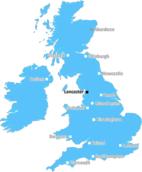
Lancaster (LA18)
The LA18 postcode area is located in the Lancaster postcode town region, within the county of Cumbria, and contains a total of 338 individual postcodes.
There are 18 electoral wards in the LA18 postcode area, including Ambleside, Askam-In-Furness, Barrow-In-Furness, Broughton-In-Furness, Carnforth, Coniston, Dalton-In-Furness, Grange-Over-Sands, Kendal, Kirkby-In-Furness, Lancaster, Millom, Milnthorpe, Morecambe, Sedbergh, Ulverston, Windermere which come under the local authority of the Copeland Council.
Combining the whole postcode region, 16% of people in LA18 are classed as having an AB social grade, (i.e. 'white-collar' middle-upper class), compared to 27% across the UK.
This does not mean that the people of LA18 are poorer than other areas, but it may give an indication that there are areas of deprivation.
The LA18 postcode is a postcode district in the Lancashire district of the United Kingdom. It covers an approximate area of position on the Outer Furness peninsula, as well as including large parts of the historic towns of Barrow-in-Furness and Millom.
The postcode district is mainly residential and consists of many small villages, such as Ireleth, Foxfield and Bootle. It is also home to a number of industrial areas, including Barrow Island, Vickerstown and Roosecote.
The majority of the population in the LA18 postcode are employed in a variety of industries including steelworks, port services, shipbuilding, banking, tourism, defence, agriculture and retail.
The schools in the LA18 postcode consist of South Lakes Secondary and Barrow Sixth Form College, as well as a number of primary schools. There are also several further education providers, including Furness College and the University of Cumbria, located nearby.
The LA18 postcode is located just to the south of the Lake District National Park, and is in close proximity to the Furness Peninsula. It is served by a number of transport links including the West Coast Main Line and is easily accessible from the M6 motorway.
The LA18 postcode has two main shopping areas; the Market Hall and the Risedale Centre. This area also has a range of leisure and entertainment facilities available including the Barrow Town Hall, Barrow Park and The Forum.
TheLA18 postcode is a diverse and vibrant area, with a wide variety of employment opportunities and leisure activities on offer. It is easily accessible and provides plenty of scope for exploration and adventure.

Demographics
Cumbria

LA18 is located in the county of Cumbria, in England.
Cumbria has a total population of 497,900, making it the 41st largest county in the UK.
Cumbria has a total area of 2612 square miles, and a population density of 73 people per square kilometre. For comparison, Greater London has a density of 5,618 people/km2.
| Outward Code | LA18 |
| Postal Town | Lancaster |
| MSOA Name | Copeland 008 |
| LSOA Name | Copeland 008G |
| County | Cumbria |
| Region | Cumbria |
| Country | England |
| Local Authority | Copeland |
| Area Classification | Mainly Rural (rural including hub towns >=80%) |
LA18 Electoral Wards
The postal region of LA18, includes the local towns, villages, electoral wards and stations of:
Dig even deeper into the LA18 postcode by clicking on a postcode below:
Click on an outward postal code below for more information about the area. Each 'outward' postcode give you a comprehensive list of all postcodes within the outward code area (LA) and estimated address.
Click on an 'outward' code for more information. For example, the outward postcode page 'EC2M' will give you an alphabetical list covering all postcodes located in the region, from 'EC2M 1BB' through to 'EC2M 7YA'.
Chris H
Sunday, April 14, 2024
We don't have any views of LA18 right now. If you live in LA18 or have visited it, please help us to help others by telling others what you think of this neighbourhood.
Add your view of LA18
People need your local expertise. If you live in LA18 or have first-hand knowledge of the neighbourhood, please consider sharing your views. It's completely anonymous - all we ask is for your initials.
Please tell us what you like about the LA18 postcode area, what you don't like, and what it's like to live or work here.
| LOCAL AMENITIES | |
| FAMILY FRIENDLY | |
| PARKING | |
| GREEN SPACES |
From the Postcode Area blog

Deciphering Crime Rates - a Deep Dive Into UK Postcode Analysis
Ever wondered about the crime rate in your UK postcode? You're not alone. We've dug deep into the data, uncovering trends and patterns that'll make your head spin.

Death of the High Street?
The BBC reports that despite councils' attempts to kurb them, the UK's high streets have seen a huge growth in fast food outlets. Could this mark the death knell for the Great British high street, and what can we do about it to halt its decline?

Discrimination by Postcode
You really couldn't make it up, could you? Some of the country's most vulnerable people are missing out on their weekly £25 Cold Weather Payment, just because the system that's in operation is discriminating against them because payments are based on postcode, rather than geographic location.

The Redesign is Underway
Well, the current website was absolutely in dire need of a good redesign - from the ground up. So I set out to pull it all apart and get it up and running again to become the most comprehensive guide to every postcode in the UK. And it's been a long, tough job from start to finish - and quite possibly the biggest project I've ever undertaken.
SOCIAL GRADES
According to census records, 16% of people here have a social grade of AB (highest), compared to the national average of 27%.