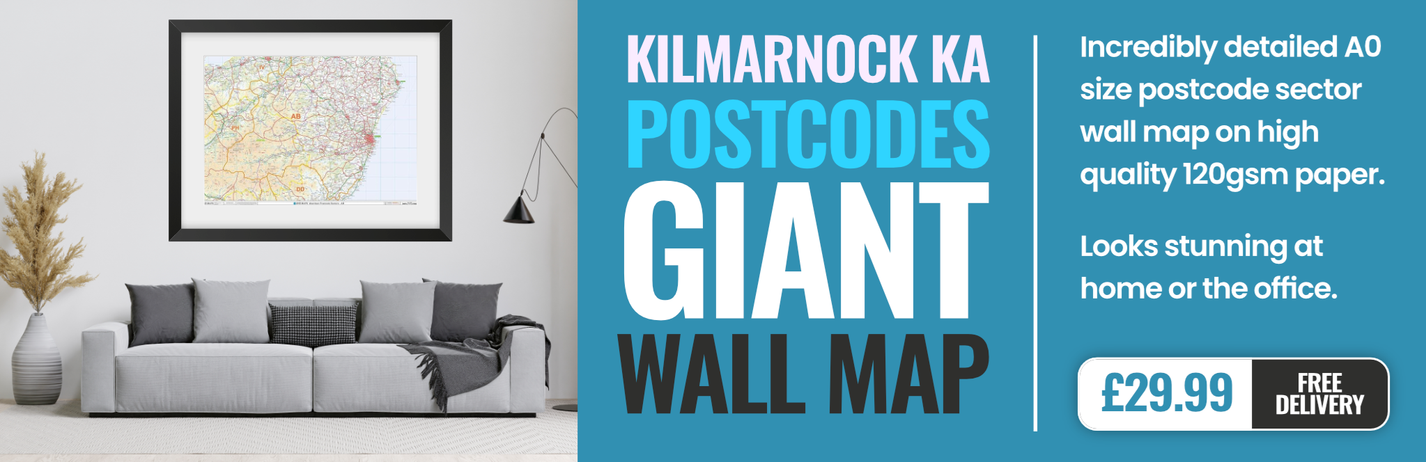
kilmarnock KA2 Postcodes
Spending a fortune on conveyancing?

Compare instant, low-cost online quotes from trusted conveyancing solicitors.
Backed by experts, our no-obligation service searches through the best conveyancing quotes on the market to save you time and money.
Kilmarnock (KA2)
The KA2 postcode area is located in the Kilmarnock postcode town region, within the county of Ayrshire, and contains a total of 271 individual postcodes.
There are 21 electoral wards in the KA2 postcode area, including Ardrossan, Ayr, Beith, Cumnock, Dalry, Darvel, Galston, Girvan, Irvine, Isle Of Arran, Isle Of Cumbrae, Kilbirnie, Kilmarnock, Kilwinning, Largs, Mauchline, Maybole, Newmilns, Prestwick, Saltcoats, Stevenston, Troon, West Kilbride which come under the local authority of the East Ayrshire Council.
Combining the whole postcode region, 0% of people in KA2 are classed as having an AB social grade, (i.e. 'white-collar' middle-upper class), compared to 27% across the UK.
This does not mean that the people of KA2 are poorer than other areas, but it may give an indication that there are areas of deprivation.
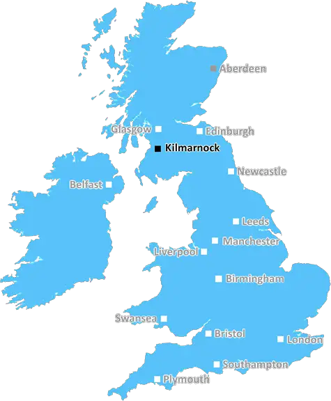
The KA2 postcode area is located in the Kilmarnock district of East Scotland, covering the Ayrshire towns of Fenwick, Kilmaurs and Stewarton, as well as their surrounding villages and countryside. This postcode is part of the K postcode region, which covers most of eastern Ayrshire.
KA2 is a full postcode district, with an allocated number of postcode sectors. These sectors form the basis of the outward code used by Royal Mail to deliver post across the UK. This postcode region covers an area of around 113 square miles.
Kilmarnock offers a wide range of activities and amenities, from vibrant shopping and nightlife offered by the town centre to its excellent cultural and leisure attractions. The Bard's Trail in the nearby area of Ayrshire is a great way to explore the region's history, with monuments dedicated to the writings of Robert Burns, and there are plenty of golf courses to enjoy. Kilmarnock is well connected with links to Glasgow and beyond, with trains running from Kilmarnock station regularly.
The landscape of KA2 postcode area is made up of various green spaces, including the Ayrshire Coastal Path and Ayrshire Hills. Fenwick boasts beautiful country parks and gardens, while Stewarton has a bustling town centre with vibrant shopping and eateries. The surrounding countryside of KA2 is renowned for its rolling hills and lush landscapes.
The area is home to key retail sites including the Crosshouse Retail Park and Irvine Retail Park, home to some of the top high street brands. The Johnnie Walker Experience in Kilmarnock is also a great spot to explore the area's whisky-making heritage, and the town holds a number of festivals and events throughout the year.
Kilmarnock is also home to some great educational institutions, with the Ayrshire College and University of the West of Scotland hosting courses in a range of disciplines. The area also has its own hospital, the University Hospital Ayr.

Demographics
Ayrshire

KA2 is located in the county of Ayrshire, in Scotland.
Ayrshire has a total population of 0, making it the largest county in the UK.
Ayrshire has a total area of square miles, and a population density of people per square kilometre. For comparison, Greater London has a density of 5,618 people/km2.
| Outward Code | KA2 |
| Postal Town | Kilmarnock |
| MSOA Name | Crosshouse and Gatehead Rural |
| LSOA Name | |
| County | Ayrshire |
| Region | Ayrshire |
| Country | Scotland |
| Local Authority | East Ayrshire |
| Area Classification | Unclassified |
KA2 Electoral Wards
The postal region of KA2, includes the local towns, villages, electoral wards and stations of:
Dig even deeper into the KA2 postcode by clicking on a postcode below:
Click on an outward postal code below for more information about the area. Each 'outward' postcode give you a comprehensive list of all postcodes within the outward code area (KA) and estimated address.
Click on an 'outward' code for more information. For example, the outward postcode page 'EC2M' will give you an alphabetical list covering all postcodes located in the region, from 'EC2M 1BB' through to 'EC2M 7YA'.
Chris H
Wednesday, April 17, 2024
We don't have any views of KA2 right now. If you live in KA2 or have visited it, please help us to help others by telling others what you think of this neighbourhood.
Add your view of KA2
People need your local expertise. If you live in KA2 or have first-hand knowledge of the neighbourhood, please consider sharing your views. It's completely anonymous - all we ask is for your initials.
Please tell us what you like about the KA2 postcode area, what you don't like, and what it's like to live or work here.
| LOCAL AMENITIES | |
| FAMILY FRIENDLY | |
| PARKING | |
| GREEN SPACES |
From the Postcode Area blog

Deciphering Crime Rates - a Deep Dive Into UK Postcode Analysis
Ever wondered about the crime rate in your UK postcode? You're not alone. We've dug deep into the data, uncovering trends and patterns that'll make your head spin.

Death of the High Street?
The BBC reports that despite councils' attempts to kurb them, the UK's high streets have seen a huge growth in fast food outlets. Could this mark the death knell for the Great British high street, and what can we do about it to halt its decline?

Discrimination by Postcode
You really couldn't make it up, could you? Some of the country's most vulnerable people are missing out on their weekly £25 Cold Weather Payment, just because the system that's in operation is discriminating against them because payments are based on postcode, rather than geographic location.

The Redesign is Underway
Well, the current website was absolutely in dire need of a good redesign - from the ground up. So I set out to pull it all apart and get it up and running again to become the most comprehensive guide to every postcode in the UK. And it's been a long, tough job from start to finish - and quite possibly the biggest project I've ever undertaken.
SOCIAL GRADES
According to census records, 0% of people here have a social grade of AB (highest), compared to the national average of 27%.