ipswich IP7 Postcodes
Spending a fortune on conveyancing?

Compare instant, low-cost online quotes from trusted conveyancing solicitors.
Backed by experts, our no-obligation service searches through the best conveyancing quotes on the market to save you time and money.
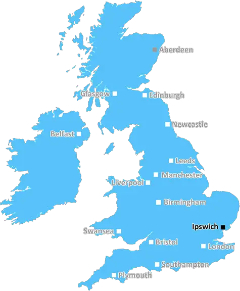
Ipswich (IP7)
The IP7 postcode area is located in the Ipswich postcode town region, within the county of Suffolk, and contains a total of 813 individual postcodes.
There are 78 electoral wards in the IP7 postcode area, including Aldeburgh, Brandon, Bury St Edmunds, Diss, Eye, Felixstowe, Halesworth, Harleston, Ipswich, Leiston, Saxmundham, Southwold, Stowmarket, Thetford, Woodbridge which come under the local authority of the Babergh Council.
Combining the whole postcode region, 27% of people in IP7 are classed as having an AB social grade, (i.e. 'white-collar' middle-upper class), compared to 27% across the UK.
This does not mean that the people of IP7 are wealthier - or higher class - than average, but it can be an indication that the area may be prospering and desirable to live in.
The IP7 postcode is located within the Ipswich district in Suffolk, England. It covers the towns of Kesgrave, Martlesham, Rushmere St. Andrew, and Woodbridge.
Kesgrave is a suburban town located to the north-east of Ipswich, about 6.5 miles away. It is considered to be one of the growing town in the area and is known for its high average house prices. It is popular with young families due to its excellent primary and secondary schools. The primary school is rated as one of the best in the area and was declared as outstanding in its most recent Ofsted inspection.
Martlesham is a commuter village located to the south of Kesgrave and the east of Ipswich. It is home to several large industrial and business parks and is home to Adastral Park, which is part of the BT global research campus. There is also a railway station located in the village providing direct services to London Liverpool Street.
Rushmere St. Andrew is a small village south of Kesgrave and east of Ipswich. It is home to a large population of retirees, and has a primary school.
Woodbridge is a market town located south-east of Ipswich. It is the most populous town in the IP7 postcode. The town has a historic centre and boasts a variety of shops, cafes and restaurants as well as a bustling port area. It is home to a well-renowned independent school along with a branch of the University of Suffolk.
The IP7 postcode is well connected to Ipswich by the A12/A14oads and there is a bus service running from the town centre to the surrounding towns. It is only a short drive away from Felixstowe and the coast. The area offers a great variety of activities and sights for visitors and residents alike, from rural walks and cycling trails, to a multitude of historic houses, guided tours, and live performances.

Demographics
Suffolk

IP7 is located in the county of Suffolk, in England.
Suffolk has a total population of 745,300, making it the 32nd largest county in the UK.
Suffolk has a total area of 1500 square miles, and a population density of 196 people per square kilometre. For comparison, Greater London has a density of 5,618 people/km2.
| Outward Code | IP7 |
| Postal Town | Ipswich |
| MSOA Name | Babergh 004 |
| LSOA Name | Babergh 004A |
| County | Suffolk |
| Region | Suffolk |
| Country | England |
| Local Authority | Babergh |
| Area Classification | Mainly Rural (rural including hub towns >=80%) |
IP7 Electoral Wards
The postal region of IP7, includes the local towns, villages, electoral wards and stations of:
Dig even deeper into the IP7 postcode by clicking on a postcode below:
Click on an outward postal code below for more information about the area. Each 'outward' postcode give you a comprehensive list of all postcodes within the outward code area (IP) and estimated address.
Click on an 'outward' code for more information. For example, the outward postcode page 'EC2M' will give you an alphabetical list covering all postcodes located in the region, from 'EC2M 1BB' through to 'EC2M 7YA'.
Chris H
Saturday, April 6, 2024
We don't have any views of IP7 right now. If you live in IP7 or have visited it, please help us to help others by telling others what you think of this neighbourhood.
Add your view of IP7
People need your local expertise. If you live in IP7 or have first-hand knowledge of the neighbourhood, please consider sharing your views. It's completely anonymous - all we ask is for your initials.
Please tell us what you like about the IP7 postcode area, what you don't like, and what it's like to live or work here.
| LOCAL AMENITIES | |
| FAMILY FRIENDLY | |
| PARKING | |
| GREEN SPACES |
Local News Suffolk
Leaders Ipswich go 'head-on' in derby at Norwich
Championship leaders Ipswich travel to play-off chasing Norwich for the East Anglian derby, with both sides eyeing promotion.
BBC NewsPolice reassure fans ahead of East Anglian derby
Industrial action on the trains is expected to disrupt travel for some fans heading to Carrow Road.
BBC NewsExpats warm up for Far East Anglian derby party
About 30 Ipswich and Norwich football fans are expected to crowd around a television in Singapore.
BBC NewsMan in court accused of 14 child sex offences
Kevin Brett is released on bail until his next hearing in May.
BBC NewsWardley and Clarke contest bruising draw in London
British and Commonwealth heavyweight champion Fabio Wardley and challenger Frazer Clarke contest a thrilling and bruising split-decision draw in London.
BBC NewsThe fans don't know the full story - Downes
Flynn Downes shares his frustrations after being booed by his former club's supporters.
BBC NewsHead teachers locked SEND pupils in rooms - report
Odran Doran and Simon Black are banned from teaching as allegations against them are proven.
BBC NewsEx ITFC stars on the East Anglian derby
Former Town stars Dyer, Chambers and Burley preview the East Anglian derby.
BBC NewsFrom the Postcode Area blog

Deciphering Crime Rates - a Deep Dive Into UK Postcode Analysis
Ever wondered about the crime rate in your UK postcode? You're not alone. We've dug deep into the data, uncovering trends and patterns that'll make your head spin.

Death of the High Street?
The BBC reports that despite councils' attempts to kurb them, the UK's high streets have seen a huge growth in fast food outlets. Could this mark the death knell for the Great British high street, and what can we do about it to halt its decline?

Discrimination by Postcode
You really couldn't make it up, could you? Some of the country's most vulnerable people are missing out on their weekly £25 Cold Weather Payment, just because the system that's in operation is discriminating against them because payments are based on postcode, rather than geographic location.

The Redesign is Underway
Well, the current website was absolutely in dire need of a good redesign - from the ground up. So I set out to pull it all apart and get it up and running again to become the most comprehensive guide to every postcode in the UK. And it's been a long, tough job from start to finish - and quite possibly the biggest project I've ever undertaken.
SOCIAL GRADES
According to census records, 27% of people here have a social grade of AB (highest), compared to the national average of 27%.