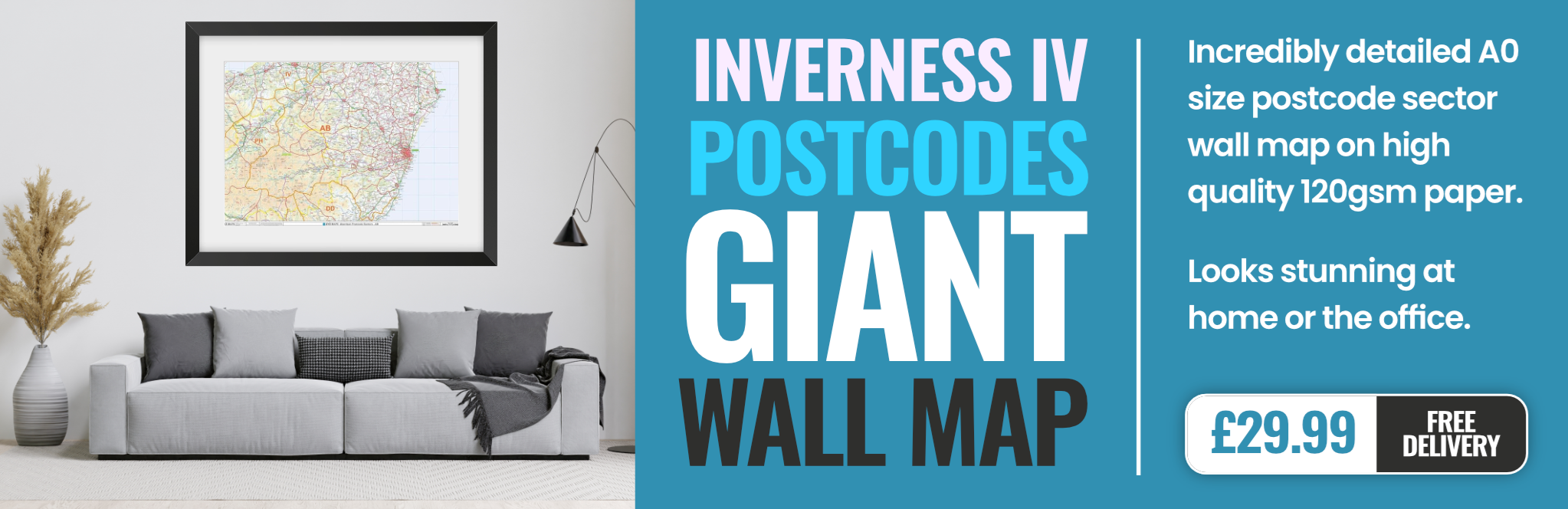
inverness IV1 Postcodes
Spending a fortune on conveyancing?

Compare instant, low-cost online quotes from trusted conveyancing solicitors.
Backed by experts, our no-obligation service searches through the best conveyancing quotes on the market to save you time and money.
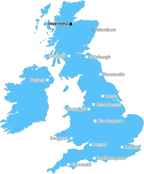
Inverness (IV1)
The IV1 postcode area is located in the Inverness postcode town region, within the county of , and contains a total of 949 individual postcodes.
There are 16 electoral wards in the IV1 postcode area, including Achnasheen, Alness, Ardgay, Avoch, Beauly, Cromarty, Dingwall, Dornoch, Elgin, Fochabers, Forres, Fortrose, Gairloch, Garve, Invergordon, Inverness, Isle Of Skye, Kyle, Lairg, Lossiemouth, Muir Of Ord, Munlochy, Nairn, Plockton, Portree, Rogart, Strathcarron, Strathpeffer, Strome Ferry, Tain, Ullapool which come under the local authority of the Highland Council.
Combining the whole postcode region, 0% of people in IV1 are classed as having an AB social grade, (i.e. 'white-collar' middle-upper class), compared to 27% across the UK.
This does not mean that the people of IV1 are poorer than other areas, but it may give an indication that there are areas of deprivation.
The IV1 postcode is an area located in the Inverness district, generally covering the central business district (CBD). It includes the post towns of Inverness, Hilton, North Kessock, and Culloden. The area is home to the main shopping centre in Inverness, as well as several local and national businesses, schools, and leisure facilities.
IV1 has excellent transport links, both by public transport and on foot, with regular buses running to the nearby towns of Dingwall and Nairn. The main train station is within walking distance of the postcode, providing links to further afield destinations like Perth and Glasgow. Inverness Airport is also close-by, offering connections to the rest of the UK.
The area boasts a great selection of shops, supermarkets, cafes, restaurants, and bars. Tourist attractions in the postcode include Inverness Castle, the Eastgate and Westgate shopping centres, and the historic Vennel Steps. The Ness Islands are a popular spot too, with cycle paths running along the River Ness and Edward and Bea's Adventure Playground for younger children.
Culloden Battlefield is nearby, with a Visitor Centre, caf�, and museum showcasing the historic battle between Jacobites and Government forces. On the eastern edge of the postcode lies the internationally-renowned Loch Ness, with boat trips, walks, and cafes along its shores.
Living in IV1 postcode can offer the best of both worlds: close to the city yet within easy reach of the countryside. There are several parks and gardens to explore, with views over the river estuary and countryside. The area also has a great selection of schools both primary and secondary, as well as private and religious institutions.
Safety is taken seriously, with regular police patrols in the area. Inverness also has one of the lowest crime rates in Scotland, making it a great place to live.
In short, IV1 postcode offers the best of both worlds: a vibrant city life alongside the beauty of Scotland's countryside. With its excellent transport links, range of shops, restaurants, and leisure facilities, and its reputation for safety and quality of life, IV1 is an attractive option for those seeking their perfect home.

Demographics

IV1 is located in the county of , in Scotland.
has a total population of 0, making it the largest county in the UK.
has a total area of square miles, and a population density of people per square kilometre. For comparison, Greater London has a density of 5,618 people/km2.
| Outward Code | IV1 |
| Postal Town | Inverness |
| MSOA Name | Inverness Central, Raigmore and Longman |
| LSOA Name | |
| County | |
| Region | |
| Country | Scotland |
| Local Authority | Highland |
| Area Classification | Unclassified |
IV1 Electoral Wards
The postal region of IV1, includes the local towns, villages, electoral wards and stations of:
Dig even deeper into the IV1 postcode by clicking on a postcode below:
Click on an outward postal code below for more information about the area. Each 'outward' postcode give you a comprehensive list of all postcodes within the outward code area (IV) and estimated address.
Click on an 'outward' code for more information. For example, the outward postcode page 'EC2M' will give you an alphabetical list covering all postcodes located in the region, from 'EC2M 1BB' through to 'EC2M 7YA'.
Chris H
Sunday, April 7, 2024
We don't have any views of IV1 right now. If you live in IV1 or have visited it, please help us to help others by telling others what you think of this neighbourhood.
Add your view of IV1
People need your local expertise. If you live in IV1 or have first-hand knowledge of the neighbourhood, please consider sharing your views. It's completely anonymous - all we ask is for your initials.
Please tell us what you like about the IV1 postcode area, what you don't like, and what it's like to live or work here.
| LOCAL AMENITIES | |
| FAMILY FRIENDLY | |
| PARKING | |
| GREEN SPACES |
From the Postcode Area blog

Deciphering Crime Rates - a Deep Dive Into UK Postcode Analysis
Ever wondered about the crime rate in your UK postcode? You're not alone. We've dug deep into the data, uncovering trends and patterns that'll make your head spin.

Death of the High Street?
The BBC reports that despite councils' attempts to kurb them, the UK's high streets have seen a huge growth in fast food outlets. Could this mark the death knell for the Great British high street, and what can we do about it to halt its decline?

Discrimination by Postcode
You really couldn't make it up, could you? Some of the country's most vulnerable people are missing out on their weekly £25 Cold Weather Payment, just because the system that's in operation is discriminating against them because payments are based on postcode, rather than geographic location.

The Redesign is Underway
Well, the current website was absolutely in dire need of a good redesign - from the ground up. So I set out to pull it all apart and get it up and running again to become the most comprehensive guide to every postcode in the UK. And it's been a long, tough job from start to finish - and quite possibly the biggest project I've ever undertaken.
SOCIAL GRADES
According to census records, 0% of people here have a social grade of AB (highest), compared to the national average of 27%.