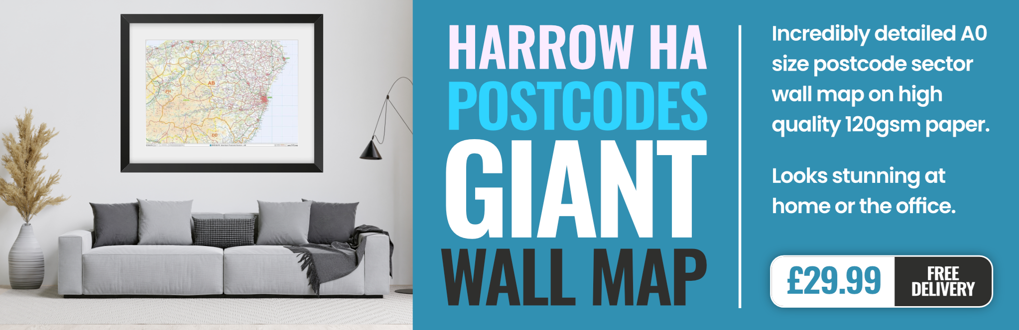
harrow HA3 Postcodes
Spending a fortune on conveyancing?

Compare instant, low-cost online quotes from trusted conveyancing solicitors.
Backed by experts, our no-obligation service searches through the best conveyancing quotes on the market to save you time and money.
Harrow (HA3)
The HA3 postcode area is located in the Harrow postcode town region, within the county of Greater London, and contains a total of 2051 individual postcodes.
There are 7 electoral wards in the HA3 postcode area, including Edgware, Harrow, Northwood, Pinner, Ruislip, Stanmore, Wembley which come under the local authority of the Brent Council.
Combining the whole postcode region, 26% of people in HA3 are classed as having an AB social grade, (i.e. 'white-collar' middle-upper class), compared to 27% across the UK.
This does not mean that the people of HA3 are poorer than other areas, but it may give an indication that there are areas of deprivation.
The HA3 postcode is part of the Harrow district in Northwest London. It covers the areas of Kenton, Harrow Weald, Queensbury, and parts of Wealdstone and Belmont.
Kenton is a residential area located in the Hertfordshire countryside with a number of green spaces. It is home to Kenton Park, a public recreation ground with a children's playground and a pond, while the Queen's Head pub is popular among locals.
Harrow Weald is a suburban area and one of the largest areas in the HA3 postcode with open spaces and attractive residential roads. Its central village is home to the picturesque Wealdstone ponds and Buckingham Palace Garden Centre, as well as popular pubs, pubs and restaurants.
Queensbury is a suburban area of terraced housing and small shops. It is home to Queensbury Underground station, located on the Jubilee line, as well as Queensbury Park which contains a children's playground, tennis courts and a pond.
Wealdstone is a lively area full of pubs, cafes and independent shops. The historic High Street is lined with attractive Georgian and Victorian buildings, and it's home to Wealdstone High Street Market, which is popular for fresh fruit and vegetables.
Belmont, also part of HA3, is suburban and overlooked by Belmont Hill. There is a large recreation ground in the area with a children's playground, and the prestigious Queeensbury Golf Course.
The HA3 postcode is an increasingly popular choice for its excellent transport links and combination of distinct residential and suburban areas.

Demographics
Greater London

HA3 is located in the county of Greater London, in England.
Greater London has a total population of 8,778,500, making it the 1st largest county in the UK.
Greater London has a total area of 606 square miles, and a population density of 5594 people per square kilometre. For comparison, Greater London has a density of 5,618 people/km2.

| Outward Code | HA3 |
| Postal Town | Harrow |
| MSOA Name | Brent 008 |
| LSOA Name | Brent 008D |
| County | Greater London |
| Region | Greater London |
| Country | England |
| Local Authority | Brent |
| Area Classification | Urban with Major Conurbation |
HA3 Electoral Wards
The postal region of HA3, includes the local towns, villages, electoral wards and stations of:
Dig even deeper into the HA3 postcode by clicking on a postcode below:
Click on an outward postal code below for more information about the area. Each 'outward' postcode give you a comprehensive list of all postcodes within the outward code area (HA) and estimated address.
Click on an 'outward' code for more information. For example, the outward postcode page 'EC2M' will give you an alphabetical list covering all postcodes located in the region, from 'EC2M 1BB' through to 'EC2M 7YA'.
Chris H
Sunday, April 7, 2024
We don't have any views of HA3 right now. If you live in HA3 or have visited it, please help us to help others by telling others what you think of this neighbourhood.
Add your view of HA3
People need your local expertise. If you live in HA3 or have first-hand knowledge of the neighbourhood, please consider sharing your views. It's completely anonymous - all we ask is for your initials.
Please tell us what you like about the HA3 postcode area, what you don't like, and what it's like to live or work here.
| LOCAL AMENITIES | |
| FAMILY FRIENDLY | |
| PARKING | |
| GREEN SPACES |
From the Postcode Area blog

Deciphering Crime Rates - a Deep Dive Into UK Postcode Analysis
Ever wondered about the crime rate in your UK postcode? You're not alone. We've dug deep into the data, uncovering trends and patterns that'll make your head spin.

Death of the High Street?
The BBC reports that despite councils' attempts to kurb them, the UK's high streets have seen a huge growth in fast food outlets. Could this mark the death knell for the Great British high street, and what can we do about it to halt its decline?

Discrimination by Postcode
You really couldn't make it up, could you? Some of the country's most vulnerable people are missing out on their weekly £25 Cold Weather Payment, just because the system that's in operation is discriminating against them because payments are based on postcode, rather than geographic location.

The Redesign is Underway
Well, the current website was absolutely in dire need of a good redesign - from the ground up. So I set out to pull it all apart and get it up and running again to become the most comprehensive guide to every postcode in the UK. And it's been a long, tough job from start to finish - and quite possibly the biggest project I've ever undertaken.
SOCIAL GRADES
According to census records, 26% of people here have a social grade of AB (highest), compared to the national average of 27%.